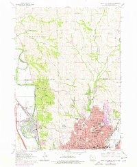
1963 Map of Sioux City North
USGS Topo · Published 1977About this map
The Sioux City corporate boundary encompasses a dense grid of neighborhoods and institutions in this mid-century survey, revealing the northern expansion of the city across the Floyd River and along the winding Perry Creek. The residential landscape is defined by its educational and spiritual centers, featuring numerous parochial institutions like Sacred Heart Sch and St Boniface Sch, alongside higher education at Briar Cliff College and Trinity College. These sites, clustered near the city center and the Calvary Cemetery area, show the established community structure during a period of steady post-war growth.
Find a feature on this map
82 named features on this map. Tap any name to fly to it.
Don’t see what you’re looking for? This feature index may not catch every label — zoom into the map to look around manually.
Map Details
Editions of this 1963 Sioux City North Map
3 editions found
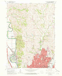
Other maps of this area

1898 · Elk Point
USGS Topo · 1:125,000

1901 · Elk Point
USGS Topo · 1:125,000

1907 · Elk Point
USGS Topo · 1:125,000

1955 · Sioux City
USGS Topo · 1:250,000

1958 · Sioux City
USGS Topo · 1:250,000

1959 · Sioux City
USGS Topo · 1:250,000

1963 · Sioux City South
USGS Topo · 1:24,000

1963 · Sioux City North
USGS Topo · 1:24,000

1963 · Elk Point NE
USGS Topo · 1:24,000

1963 · Jefferson
USGS Topo · 1:24,000