Old Maps of Glenham, South Dakota for Genealogy
Trace your family roots with 8 historic maps of Glenham. These high-res maps reveal old neighborhoods, homesites, landmarks, and streets — helping you uncover where your ancestors lived and how the area evolved over time.
- Explore historic neighborhoods: Identify where your relatives may have lived in the 1800s or 1900s.
- Compare maps over time: Trace the changes in streets, buildings, and landmarks for multi-generational research.
- Perfect for genealogy & ancestry research: Used by family historians and researchers to map out lineage and migration.
These maps are an incredible resource for exploring your personal connection to Glenham's past.
Glenham, SD maps
(8)- 1953 Map of McIntosh, 1965 Print
 1953 McIntosh1965 Print · USGSThe north-central Dakota prairie is captured here during the mid-fifties, showing the vast Standing Rock Indian Reservation and the newly formed Oah E Reservoir. Genealogists and historians can trace the Chicago Milwaukee St Paul and Pacific rail line through stops like McIntosh, Walker, and Eagle Butte.3 unique versions available
 - 1958 Map of McIntosh
 1958 McIntosh1958 Print · USGSThe north-central Dakotas appear here in the mid-1950s as massive engineering projects and rail lines shaped the plains. Researchers can trace tribal lands within the Standing Rock Indian Reservation and locate local landmarks like the Keller Mine or the Virginia Siding.
 - 1967 Map of Glenham, 1968 Print
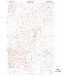 1967 Glenham1968 Print · USGSWalworth County in the late sixties reveals a landscape transformed by the Missouri River's damming and the steady pulse of the rail line. Genealogists and researchers can trace the rural Habenberg Sch, the rail siding at Ridgeland, and the shoreline of the Oahe Reservoir.
 - 1985 Map of Mobridge
 1985 Mobridge1985 Print · USGSCrossing the Missouri River in the mid-1980s, this landscape reveals the intersection of the Standing Rock Indian Reservation and the rising waters of Lake Oahe. Researchers can locate significant historical markers such as Sitting Bulls Grave, St Elizabeth Mission Home, and the Leavenworth Monument.2 unique versions available
 - 2012 Map of Glenham, 2012 Print
 2012 Glenham2012 Print · USGSCovers Glenham, including Wakpala, Campbell County, and other nearby areas
 - 2015 Map of Glenham, 2015 Print
 2015 Glenham2015 Print · USGSCovers Glenham, including Wakpala, Campbell County, and other nearby areas
 - 2017 Map of Glenham, 2017 Print
 2017 Glenham2017 Print · USGSCovers Glenham, including Wakpala, Campbell County, and other nearby areas
 - 2021 Map of Glenham, 2021 Print
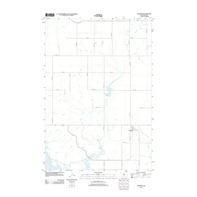
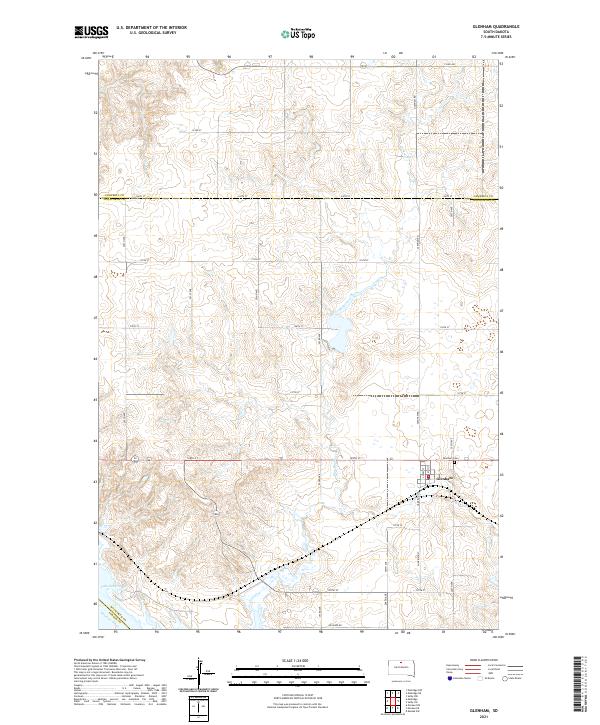 2021 Glenham2021 Print · USGSGlenham and the surrounding Walworth County prairies are captured here in the early twenty-first century as the landscape rolls toward the Missouri. Researchers can trace the local street plan of Glenham and locate family plots at the Glenham Cem or follow the path of Blue Blanket Cr.
End of results
Showing maps 1-8 of 8
Top cities near Glenham
Frequently asked questions
- What are the different types of historical maps available for Glenham?
- What is the oldest map of Glenham?
- Where can I purchase historical maps of Glenham for my home or office?
- Where can I download high-res historical maps of Glenham?
- Are there historical topographic maps available for Glenham?
- Is there historical aerial imagery available for Glenham?
- Where are historical maps of Glenham sourced from?