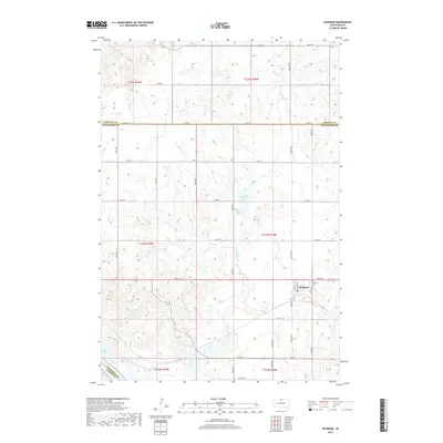
2017 Map of Glenham
USGS Topo · Published 2017About this map
Glenham sits at the heart of this prairie landscape, serving as a primary point of settlement along the section-line roads that grid the Dakota plains. This 2017 survey by the U.S. Geological Survey illustrates a region defined by its water and agricultural boundaries, where the village is anchored by local landmarks like the Glenham Cem and organized around streets such as Main St and Lowry St. The terrain is characterized by the expansive waters of Lake Oahe in the southwest corner and the presence of Molstad Lake further north. Seasonal watercourses including Blue Blanket Cr and Cane Cr traverse the township boundaries of Walworth and Campbell counties. The map provides a precise look at the rural infrastructure of the early 21st century, from the remote reaches of Orchard Rd to the established grid of the Glenham townsite.
Find a feature on this map
35 named features on this map. Tap any name to fly to it.
Don’t see what you’re looking for? This feature index may not catch every label — zoom into the map to look around manually.
Map Details
Editions of this 2017 Glenham Map
This is the sole edition of this map. No revisions or reprints were ever made.
Other maps of this area
1953 · McIntosh
USGS Topo · 1:250,000
1958 · McIntosh
USGS Topo · 1:250,000
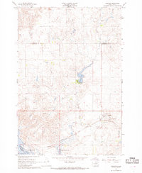
1967 · Glenham
USGS Topo · 1:24,000
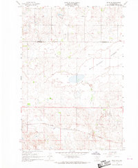
1967 · Selby SW
USGS Topo · 1:24,000
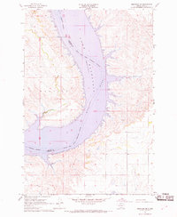
1967 · Mobridge NE
USGS Topo · 1:24,000
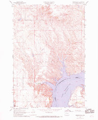
1967 · Mobridge NW
USGS Topo · 1:24,000
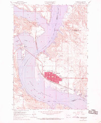
1967 · Mobridge
USGS Topo · 1:24,000
1967 · Selby NW
USGS Topo · 1:24,000
1968 · Moreau NW
USGS Topo · 1:24,000
1968 · Moreau NE
USGS Topo · 1:24,000