2020s Maps of Ziebach County, South Dakota
Explore 54 historic maps of Ziebach County from the 2020s. These maps offer a rare glimpse into what life looked like during the 2020s — showing old roads, neighborhoods, homes, and landmarks that have changed or disappeared over time.
Whether you're researching your family's past, planning a metal detecting trip, or studying how Ziebach County's landscape evolved across the 2020s, these high-resolution maps are a powerful tool for exploring the history of this region.
- Focus on a specific era: All maps on this page are from the 2020s, giving you a focused view of this time period.
- See what’s changed: Compare century-old streets, trails, and buildings to today's modern landscape using overlays and satellite layers.
- Research with precision: Use these maps for genealogy, historical research, land use analysis, or educational projects.
- View, download, or print: Maps are fully viewable online in high resolution, and can be downloaded or printed for your own records.
Start exploring Ziebach County's history through authentic maps from the 2020s. This is your window into the past.
Ziebach County, SD maps
(54)- 2021 Map of Herbert Creek SW, 2021 Print
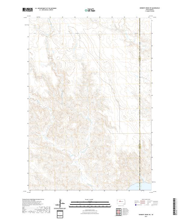 2021 Herbert Creek SW2021 Print · USGSZiebach and Dewey counties are captured in this recent survey of the South Dakota prairie as the land slopes toward the Missouri River. Genealogists and researchers can trace local boundaries along BIA Hwy 8 and the drainage systems of Herbert Cr and Lake Oahe.
 - 2021 Map of High Elk Hill SE, 2021 Print
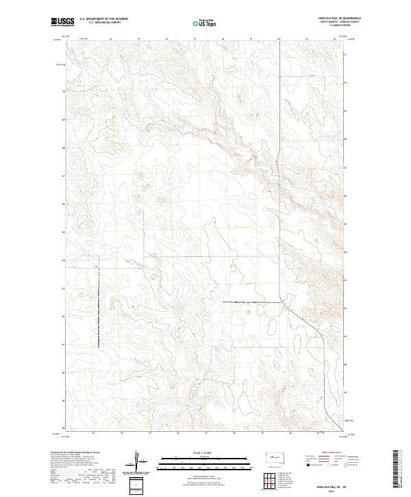 2021 High Elk Hill SE2021 Print · USGSZiebach County in the early 2020s remains a landscape of wide-open spaces and systematic township grids. Researchers can trace the winding paths of Rudy Cr and Dupree Cr as they navigate the section lines of T10N R23E and its surrounding townships.
 - 2021 Map of Bessie Butte, 2021 Print
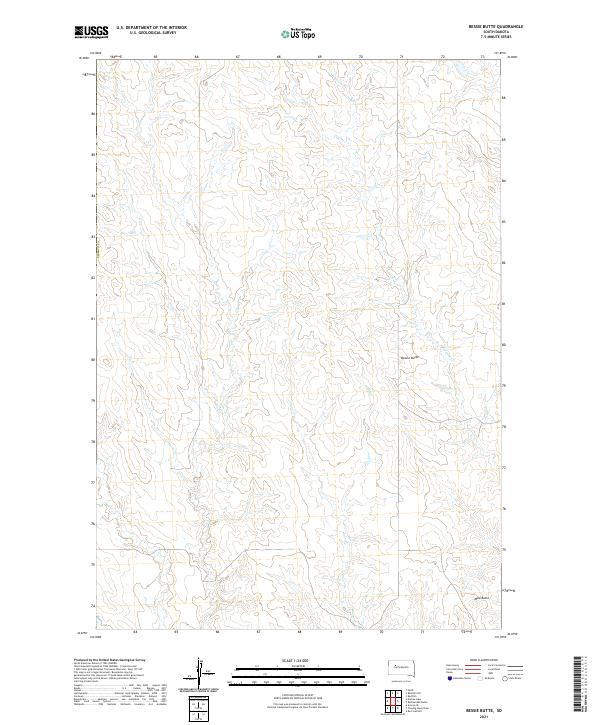 2021 Bessie Butte2021 Print · USGSZiebach County remains a landscape of high plains and creek drainages in this modern survey of western South Dakota. Researchers can locate distinctive landmarks like Bessie Butte and Mud Butte, or trace the winding path of Red Coat Cr through the prairies.
 - 2021 Map of Rattlesnake Lake NE, 2021 Print
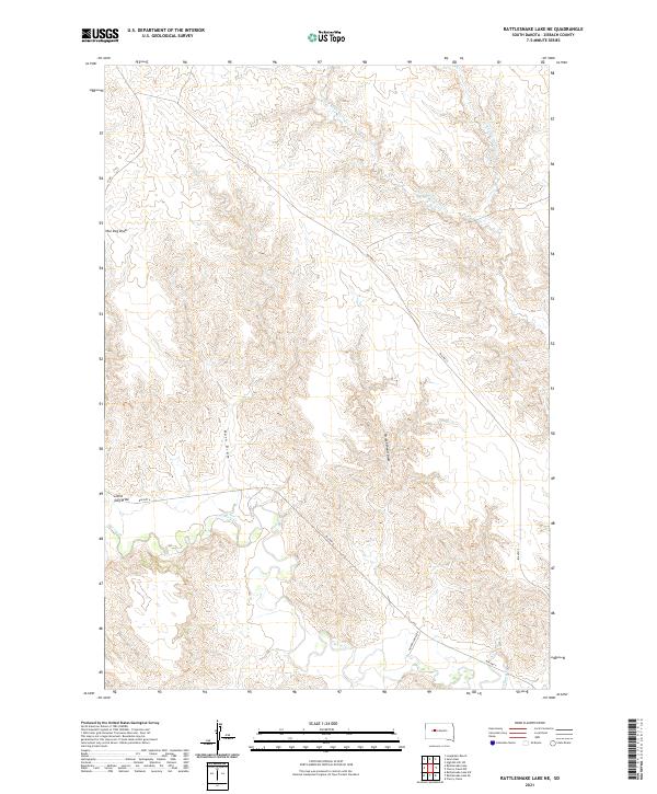 2021 Rattlesnake Lake NE2021 Print · USGSZiebach County is shown in this contemporary record of its prairie draws and tribal roadways. Genealogists and researchers can trace the course of Cherry Cr and locate routes through Little Dog Draw or along Golden Eagle Rd.
 - 2021 Map of Sears Dam, 2021 Print
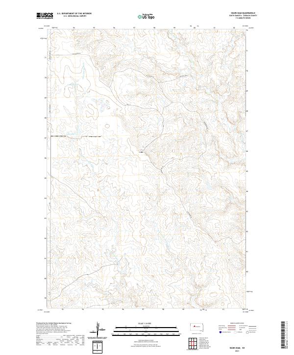 2021 Sears Dam2021 Print · USGSZiebach County in the early twenty-first century remains a landscape of sprawling prairie and strategic water management. Researchers can trace the path of Little Cottonwood Creek and locate ranching landmarks like Sears Dam and Campbell Dam.
 - 2021 Map of Rattlesnake Lake SW, 2021 Print
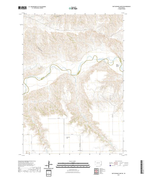 2021 Rattlesnake Lake SW2021 Print · USGSThis western South Dakota ranching country is centered on the winding Cheyenne River at the Ziebach and Haakon county line. Researchers can trace land patterns across the Milesville Flat and follow drainage routes like White Thunder Bottom and Straighthead Cr.
 - 2021 Map of Cherry Creek, 2021 Print
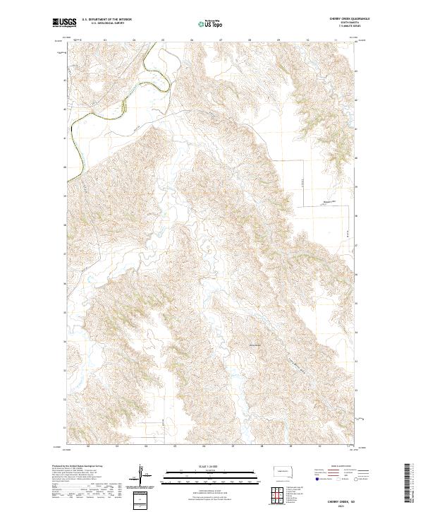 2021 Cherry Creek2021 Print · USGSThe Ziebach and Haakon county line runs along the Cheyenne River in this modern topographical study of rural South Dakota. Local historians can trace the complex drainage patterns of Plum Creek and locate landmarks like Maupin Flat and Stony Butte.
 - 2021 Map of Bridger, 2021 Print
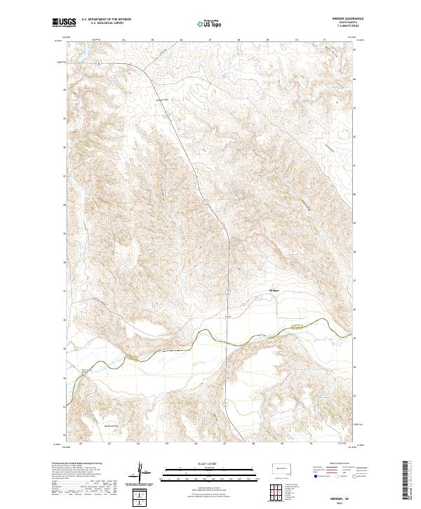 2021 Bridger2021 Print · USGSZiebach County and the Cheyenne River valley are shown here in the early 2020s as a sparsely settled landscape of high flats and winding draws. Local historians can trace the geography around Bridger, the crossing at Four Corner Bridge, and landmarks like Barthold Flat.
 - 2021 Map of Bridger NE, 2021 Print
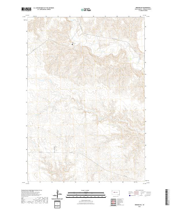 2021 Bridger NE2021 Print · USGSZiebach County land patterns in the early twenty-first century are defined by isolated ranching infrastructure and winding creek beds. Researchers can locate the Saint Mark's Cem and trace rural routes like Red Scaffold Rd and BIA HWY 8 through the plains.
 - 2021 Map of High Elk Hill SW, 2021 Print
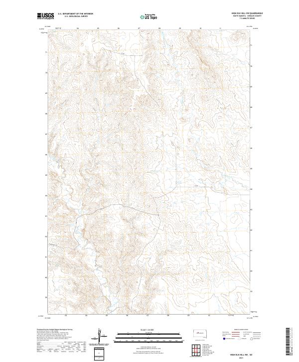 2021 High Elk Hill SW2021 Print · USGSZiebach County remains a sparse and open prairie landscape in the early twenty-first century. Genealogists and local historians can trace the paths of Cottonwood Creek and Dupree Creek alongside remote routes like Sunnybrook Road.
 - 2021 Map of Carlin Flat, 2021 Print
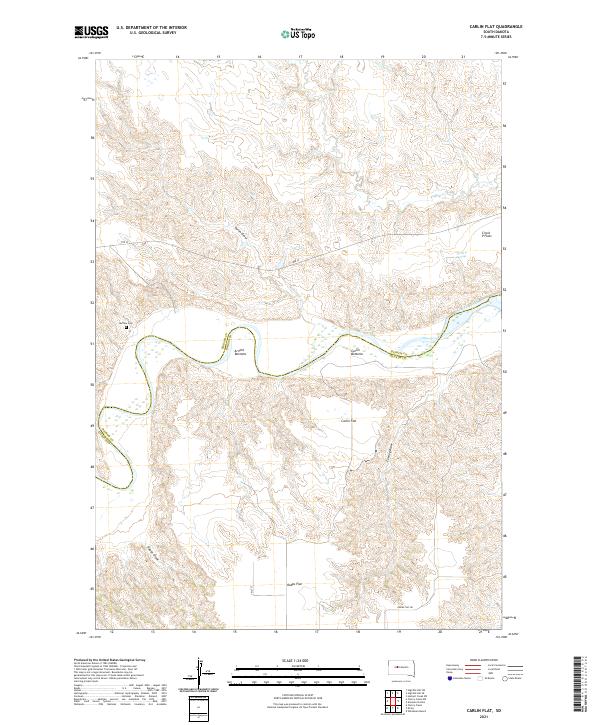 2021 Carlin Flat2021 Print · USGSThe Cheyenne River breaks the South Dakota prairie at the Haakon and Ziebach county line in this contemporary survey. Genealogists and researchers can locate the Buffalo Cem and trace livestock-era landmarks like Circle P Springs and Arnold Bottoms.
 - 2021 Map of Bridger SE, 2021 Print
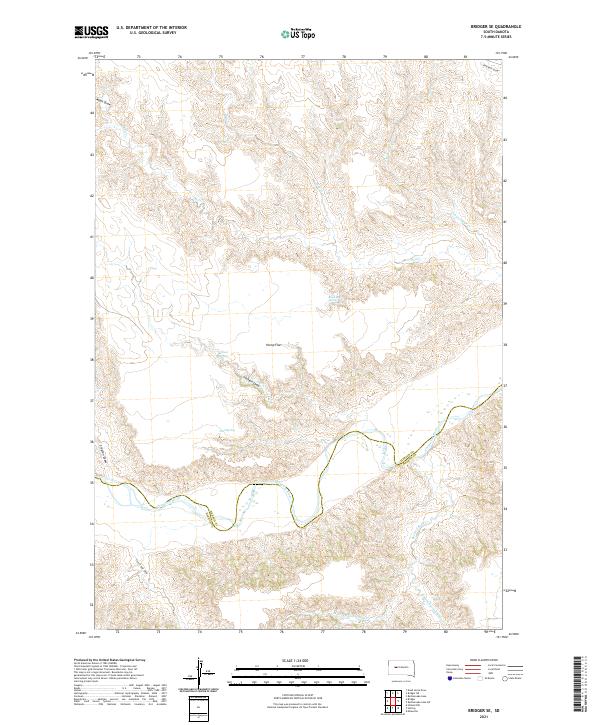 2021 Bridger SE2021 Print · USGSZiebach County is documented here in the early 2020s, showing a landscape defined by the winding Cheyenne River and its many tributaries. Researchers can trace the drainage patterns and historical water sources of the region, from Hump Flat to Black Bull Spring and Council Bear Creek.
 - 2021 Map of High Elk Hill, 2021 Print
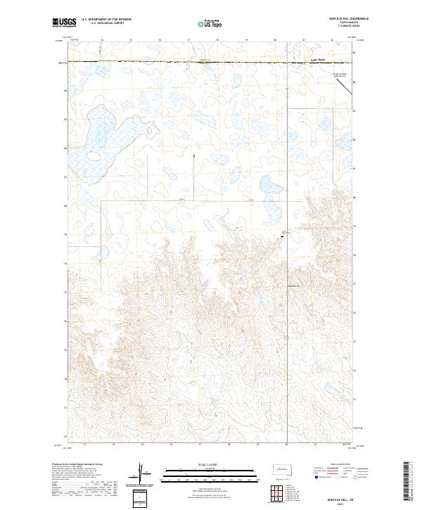 2021 High Elk Hill2021 Print · USGSZiebach and Dewey counties are captured here in the early 2020s, showing the high prairie landscape near the Cheyenne River Reservation. Genealogists and historians can locate Saint Marks Cem or trace the drainage patterns of Green Grass Cr and Herbert Cr across the divide.
 - 2021 Map of Rattlesnake Lake SE, 2021 Print
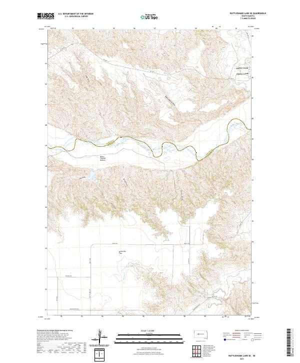 2021 Rattlesnake Lake SE2021 Print · USGSThe Ziebach and Haakon county line follows the winding Cheyenne River in the early twenty-first century. Researchers can trace the rugged topography of White Thunder Bottom and locate local landmarks like Beerwagon Spring and Milesville Flat.
 - 2021 Map of Howes, 2021 Print
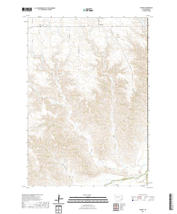 2021 Howes2021 Print · USGSThe western South Dakota plains come into focus at the dawn of the 2020s, centered on the rural community of Howes. Trace local history at Plainview Cem or follow the intricate drainage of the Cheyenne River and Whimmer Whimmer Draw.
 - 2021 Map of Herbert Creek, 2021 Print
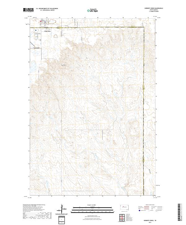 2021 Herbert Creek2021 Print · USGSZiebach County ranch lands meet the town of Eagle Butte in this contemporary record of South Dakota's prairie landscape. Trace the modern layout of the Cheyenne Eagle Butte Airport and rural routes like Minneconjou Dr and Herbert Cr.
 - 2021 Map of Miller Dam, 2021 Print
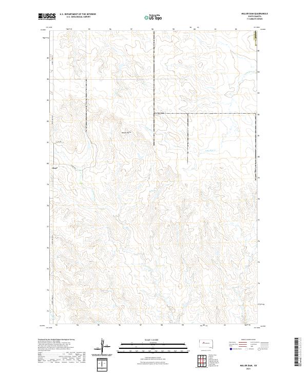 2021 Miller Dam2021 Print · USGSZiebach County ranching lands and the prairie breaks are captured here in the early twenty-first century. Researchers can trace local landmarks like Marple Butte and the settlement at Chase, along with the waters of Miller Dam and Cottonwood Cr.
 - 2021 Map of Rattlesnake Butte, 2021 Print
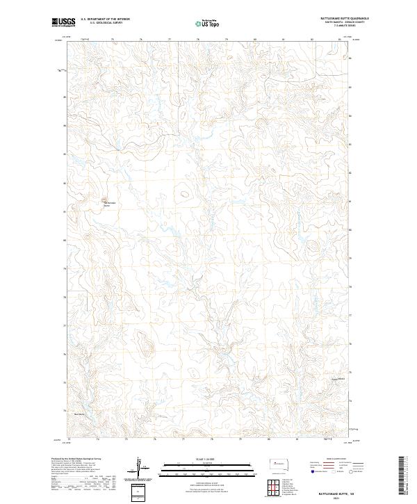 2021 Rattlesnake Butte2021 Print · USGSZiebach County, South Dakota, is captured here in the early twenty-first century, showcasing a landscape of high plains drainage and isolated landmarks. Researchers can trace the winding paths of Rattlesnake Cr and locate high points like Rattlesnake Butte and Peaked Butte.
 - 2021 Map of Red Scaffold, 2021 Print
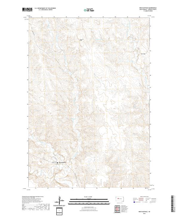 2021 Red Scaffold2021 Print · USGSThe community of Red Scaffold and the surrounding plains are captured in this modern survey, showing a landscape defined by prairie creek systems. Researchers can locate the Sacred Heart Catholic Cem and trace the paths of Red Scaffold Creek and Cherry Creek near the Staple M Cliffs.
 - 2021 Map of Cherry Creek NW, 2021 Print
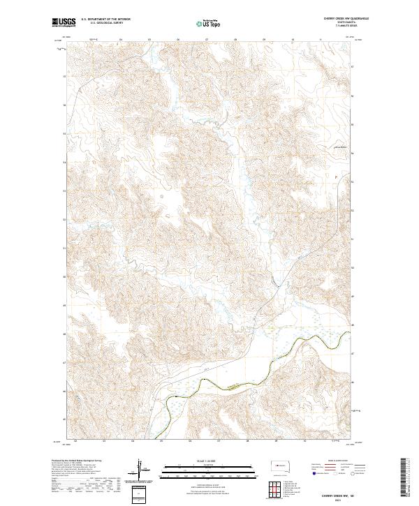 2021 Cherry Creek NW2021 Print · USGSZiebach County is shown in this recent survey during a period of quiet continuity in the South Dakota plains. Researchers can trace the winding path of the Cheyenne River and locate landmarks like Joshua Butte and the drainage of Little Cottonwood Cr.
 - 2021 Map of Lemmon Creek, 2021 Print
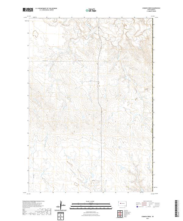 2021 Lemmon Creek2021 Print · USGSMeade County, South Dakota, is captured here in the early twenty-first century, showcasing a vast drainage basin defined by seasonal waterways. Researchers can trace the paths of Lemmon Cr and Johnny Cr or follow rural transit routes like Old Marcus Rd.
 - 2021 Map of Longbrake Ranch, 2021 Print
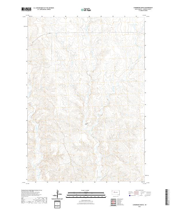 2021 Longbrake Ranch2021 Print · USGSZiebach County ranching country is documented here in the early twenty-first century, showing a landscape defined by seasonal water and open range. Researchers can trace the layout of the Longbrake Ranch and locate remote water features like Herren Dam and Rattlesnake Cr.
 - 2021 Map of High Elk Hill NW, 2021 Print
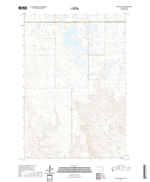 2021 High Elk Hill NW2021 Print · USGSZiebach County is captured in this recent survey of the South Dakota prairie, showing the region's vast grid of section lines and seasonal creeks. Researchers can trace the drainage of Little Bear Creek or follow rural routes like County Highway 23 across the open landscape.
 - 2021 Map of Dead Horse Draw, 2021 Print
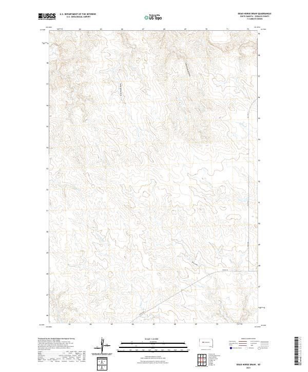 2021 Dead Horse Draw2021 Print · USGSZiebach County, South Dakota, is captured here in the early 2020s, showing a landscape defined by seasonal draws and rangeland. Researchers can trace local routes like BIA Hwy 13 and Tankini Rd alongside the waters of Dead Horse Draw and Bull Cr.
 - 2021 Map of Alleman Station, 2021 Print
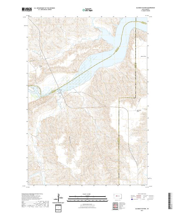 2021 Alleman Station2021 Print · USGSThe riverfront of the Cheyenne River is documented here in the early 2020s as it feeds into the massive Lake Oahe reservoir. Researchers can locate family-named landmarks like Circle P Flats and trace the local road network via Carlin Bridge and Cherry Creek Rd.
Showing maps 1-25 of 54
Frequently asked questions
- What are the different types of historical maps available for Ziebach County?
- What is the oldest map of Ziebach County?
- Where can I purchase historical maps of Ziebach County for my home or office?
- Where can I download high-res historical maps of Ziebach County?
- Are there historical topographic maps available for Ziebach County?
- Is there historical aerial imagery available for Ziebach County?
- Where are historical maps of Ziebach County sourced from?