Old Maps of Charleys Branch, Tennessee for Hiking & Exploration
Hike through history with 14 historic maps of Charleys Branch. Explore old trails, ghost towns, and forgotten backroads — perfect for outdoor adventurers and local explorers.
- Rediscover forgotten places: Map out old mining camps, roads, and footpaths that no longer exist on modern maps.
- Layer with modern tools: Combine with LiDAR or satellite views to plan hikes through historical terrain.
- Made for exploration: Popular among hikers, overlanders, and local history lovers.
Use these maps to find adventure and explore the hidden past of Charleys Branch.
Charleys Branch, TN maps
(14)- 1893 Map of Briceville
 1893 Briceville1893 Print · USGSThe northern Tennessee coalfields and valleys come to life in the 1890s, when mining and rail were transforming the ridges of the Cumberland. Local historians can trace the paths of the Knoxville and Ohio R. R. and early settlements like Jacksboro, Coal Creek, and Oliver Springs.
 - 1895 Map of Briceville
 1895 Briceville1895 Print · USGSThe Cumberland Mountains and Powell Valley met a rapidly expanding railroad network in the late nineteenth century. Trace early industrial footprints and family-named hollows from Briceville and Clinton to the coal-rich slopes of Big Mountain.
 - 1896 Map of Briceville
 1896 Briceville1896 Print · USGSEast Tennessee's coal and rail corridors are captured here in the late nineteenth century as the industrial landscape of the Cumberland Plateau matured. Researchers can trace early family homesteads and transport hubs through Briceville, Clinton, and the Southern RR line.6 unique versions available
 - 1936 Map of Duncan Flats
 1936 Duncan Flats1936 Print · USGSUpland Anderson County life is recorded here during the mid-1930s as federal agencies mapped the high ridges. Genealogists can locate the Duncan Flats Sch and trace the proximity of family homes to Duncan Flats and the Incline.
 - 1947 Map of Duncan Flats
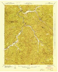 1947 Duncan Flats1947 Print · USGSThe high ridges of the Cumberland Mountains meet the Anderson and Campbell county lines in the late 1940s. Genealogists and hikers can trace remote family sites like Ben Phillips Cem, old mountain schools, and the riverside settlement at Rosedale.
 - 1952 Map of Duncan Flats, 1954 Print
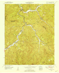 1952 Duncan Flats1954 Print · USGSCoal and timber settlements dot the Appalachian valleys of East Tennessee in the early fifties, following the path of the Tennessee RR. Genealogists can trace family histories through dozens of sites like the Lively Cemetery, Stony Fork School, and Clinchmore.5 unique versions available
 - 1956 Map of Corbin, 1966 Print
 1956 Corbin1966 Print · USGSThe Kentucky and Tennessee borderlands are captured here in the mid-fifties, showing the region's shift toward modern interstate travel and reservoir development. Genealogists and historians can trace old community lines near Albany and Monticello or locate early rail junctions along the Southern and Tennessee Central lines.3 unique versions available
 - 1958 Map of Corbin
 1958 Corbin1958 Print · USGSThe Upper Cumberland borderlands appear in the late 1950s as massive reservoirs and early atomic-era growth reshape the region. Trace family roots and vanished landmarks near Lake Cumberland, Oak Ridge, and the Cumberland National Forest.
 - 1979 Map of Oakridge, 1980 Print
 1979 Oakridge1980 Print · USGSThe eastern Tennessee highlands are captured here in the late 1970s, showcasing a landscape of coal mining and mountain conservation. Genealogists and researchers can locate family landmarks such as Potter Cem, Sunbright Sch, and the historic settlement of Rugby.
 - 2010 Map of Duncan Flats, 2010 Print
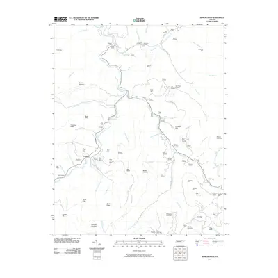 2010 Duncan Flats2010 Print · USGSThe Cumberland Mountains of East Tennessee are mapped here during the late 2000s, showing a rugged landscape defined by coal mining and family history. Researchers can trace deep roots through sites like the Patterson Cemeteries, Clinchmore Mine, and the settlement at Rosedale.
 - 2013 Map of Duncan Flats, 2013 Print
 2013 Duncan Flats2013 Print · USGSAnderson County at the start of the 2010s reveals a mountain landscape where life still follows the New River. Genealogists can trace family connections along Phillips Cemetery Ln or locate old community hubs like Rosedale and Clinchmore.
 - 2016 Map of Duncan Flats, 2016 Print
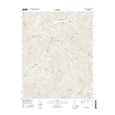 2016 Duncan Flats2016 Print · USGSModern Cumberland Mountain settlements and family burial grounds are documented here at the intersection of Anderson, Campbell, and Scott counties. Researchers can trace ancestral locations at Grave Hill Cem, Stainville, and the remote Mountain Home Cem near Clinchmore.
 - 2019 Map of Duncan Flats, 2019 Print
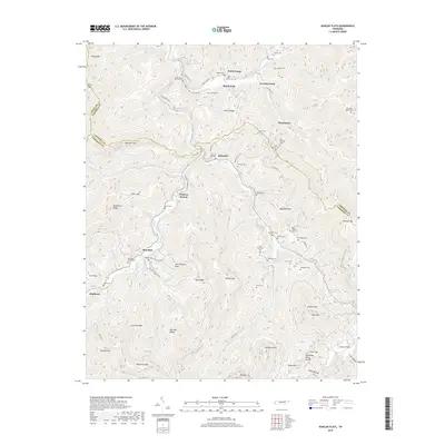 2019 Duncan Flats2019 Print · USGSAnderson and Campbell Counties are shown here during the late 2010s, where the high ridges of the Tennessee Valley Divide meet deep mountain hollows. Researchers can trace family history through dozens of remote burial sites like Grave Hill Cem, New Pilot Cem, and the Patterson Cemeteries.
 - 2022 Map of Duncan Flats, 2022 Print
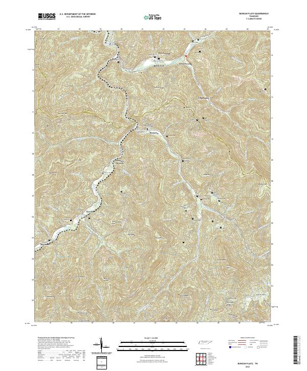 2022 Duncan Flats2022 Print · USGSThe Cumberland Mountains come into focus in this recent survey of the ridges and hollows north of Anderson. Genealogists can trace family heritage through a high density of rural burial sites like Asslinger Cem, Mountain Home Cem, and the community of Clinchmore.
End of results
Showing maps 1-14 of 14
Top cities near Charleys Branch
- Knoxville historical maps
- Oak Ridge historical maps
- Clinton historical maps
- La Follette historical maps
- LaFollette historical maps
- Harriman historical maps
See more
Frequently asked questions
- What are the different types of historical maps available for Charleys Branch?
- What is the oldest map of Charleys Branch?
- Where can I purchase historical maps of Charleys Branch for my home or office?
- Where can I download high-res historical maps of Charleys Branch?
- Are there historical topographic maps available for Charleys Branch?
- Is there historical aerial imagery available for Charleys Branch?
- Where are historical maps of Charleys Branch sourced from?