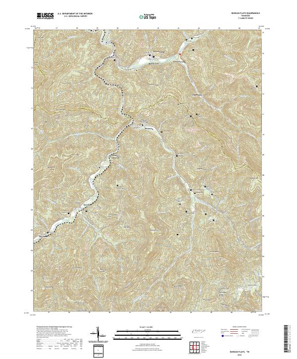
2022 Map of Duncan Flats
USGS Topo · Published 2022About this map
New River and its numerous tributaries, including Beech Fork and Ligtas Fork, carve a complex drainage pattern across this portion of the Cumberland Mountains. This 2022 survey captures a landscape defined by sharp ridges and narrow hollows, where small settlements like Clinchmore, Stainville, and Rosedale follow the limited level ground near the water. The density of family-named burial grounds, such as Patterson Cemeteries and several Phillips Cem locations, points to the deep generational ties of the families who settled these ridges.
Find a feature on this map
94 named features on this map. Tap any name to fly to it.
Don’t see what you’re looking for? This feature index may not catch every label — zoom into the map to look around manually.
Map Details
Editions of this 2022 Duncan Flats Map
This is the sole edition of this map. No revisions or reprints were ever made.
Historical Maps of Charleys Branch Through Time
16 maps found
1936 Coal Creek
Anderson County, TN

1936 Duncan Flats
Anderson County, TN

1936 Norris Dam
Anderson County, TN

1936 Windrock
Anderson County, TN
1946 Windrock
Anderson County, TN
1947 Duncan Flats
Anderson County, TN
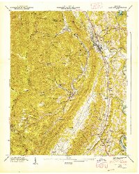
1947 Lake City
Anderson County, TN
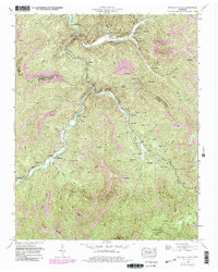
1952 Duncan Flats
Anderson County, TN
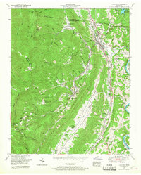
1952 Lake City
Anderson County, TN
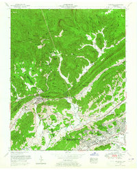
1952 Windrock
Anderson County, TN
1968 Windrock
Anderson County, TN
1973 Lake City
Anderson County, TN
2000 Windrock
Anderson County, TN
2022 Duncan Flats
Anderson County, TN
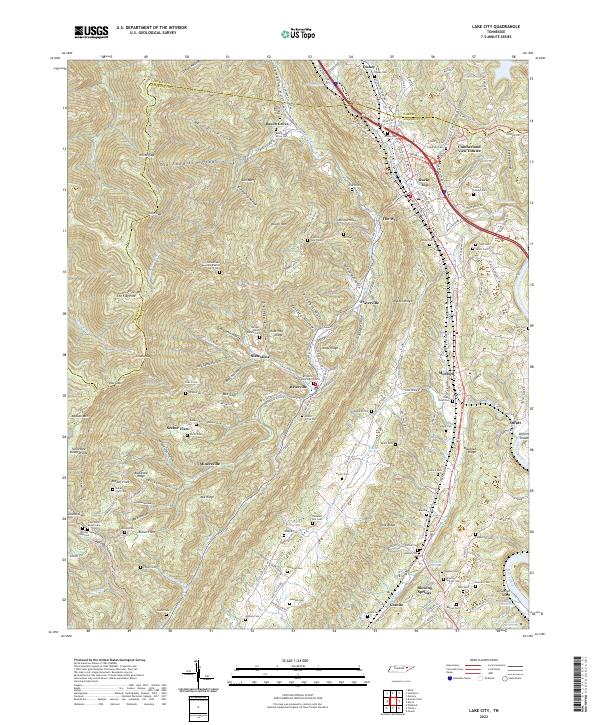
2022 Lake City
Anderson County, TN
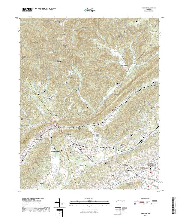
2022 Windrock
Anderson County, TN