
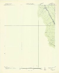
1936 Map of Block
USGS Topo · Published 1936About this map
Southern Railway tracks trace the narrow valley floor in this 1936 survey, connecting the small coal-country settlements of Turley, Hickey, and Block. The industrial character of this corner of Campbell County is evident in the multiple Incline tracks that climb the steep flanks of Fork Mountain and Caryville Mountain, reflecting the intense resource extraction occurring along the Fork and near Wheeler Gap.
Find a feature on this map
20 named features on this map. Tap any name to fly to it.
Don’t see what you’re looking for? This feature index may not catch every label — zoom into the map to look around manually.
Map Details
Editions of this 1936 Block Map
2 editions found
Other maps of this area

1893 · Briceville
USGS Topo · 1:125,000

1895 · Briceville
USGS Topo · 1:125,000

1896 · Briceville
USGS Topo · 1:125,000

1936 · Hogbell Gap
USGS Topo · 1:24,000

1936 · Ivydell
USGS Topo · 1:24,000

1936 · Jacksboro
USGS Topo · 1:24,000

1936 · Pioneer
USGS Topo · 1:24,000

1936 · Duncan Flats
USGS Topo · 1:24,000

1936 · La Follette
USGS Topo · 1:48,000

1936 · Norris Dam
USGS Topo · 1:48,000