
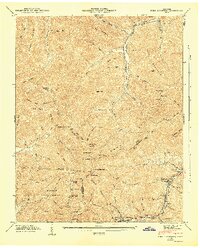
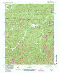
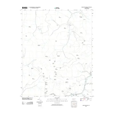
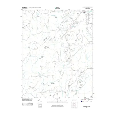
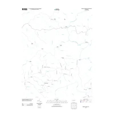
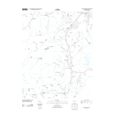
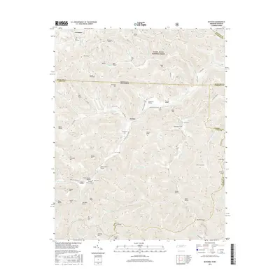
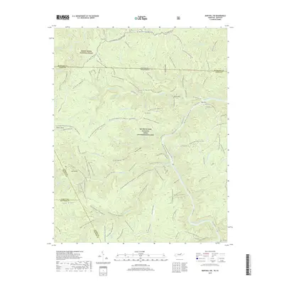
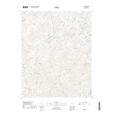
1936 Map of Hogbell Gap
USGS Topo · Published 1936About this map
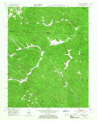
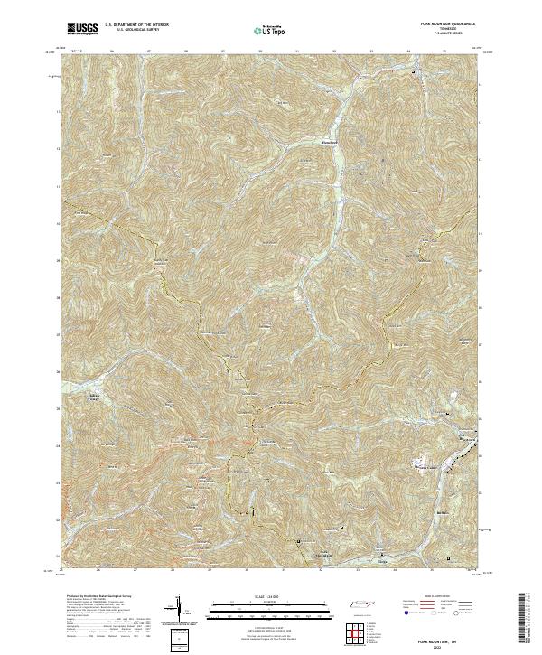
Cumberland Mountains terrain dominates this 1936 advance sheet, where the Tennessee Basin Divide carves a jagged path across the plateau. This high-country landscape is defined by its deep hollows and prominent ridges, including Bird Mountain and Fork Mountain, which shaped the early movement and settlement patterns of this Tennessee region. The drainage network of the Emory River and its many tributaries, such as Loudon Creek and Dry Branch, illustrates the complex hydrology of the watershed before mid-century developments. Significant gaps in the ridgeline, notably Horseshoe Gap, Long Gap, and the eponymous Hogbell Gap, represent the critical natural passes used by locals. Aerial photography from the era captured the isolation of high-altitude landmarks like Bald Knob and The Garden Spot, providing a precise record of the tri-county boundary where Morgan, Scott, and Anderson counties meet.
Find a feature on this map
27 named features on this map. Tap any name to fly to it.
Don’t see what you’re looking for? This feature index may not catch every label — zoom into the map to look around manually.
Map Details
Editions of this 1936 Hogbell Gap Map
This is the sole edition of this map. No revisions or reprints were ever made.
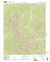
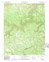
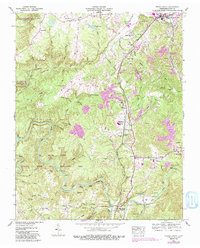
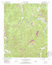
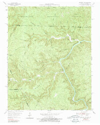
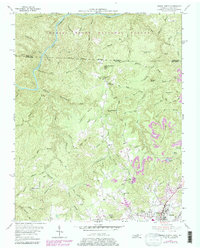
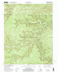
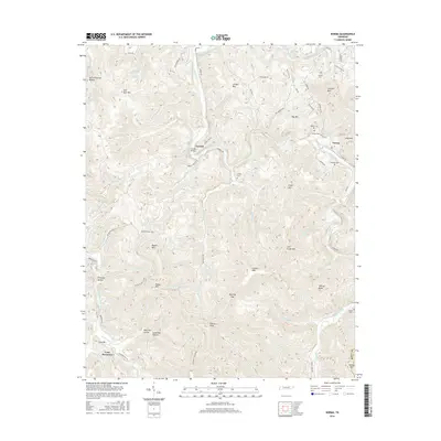
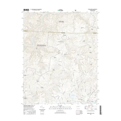
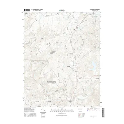
Historical Maps of Moores Camp Through Time
49 maps found

1935 Mages
Scott County, TN

1935 Moggasin
Scott County, TN
1936 Hogbell Gap
Scott County, TN
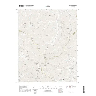
1946 Fork Mountain
Scott County, TN
1952 Fork Mountain
Scott County, TN
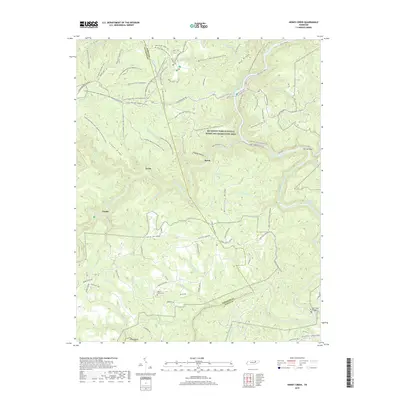
1952 Honey Creek
Scott County, TN
1952 Oneida South
Scott County, TN
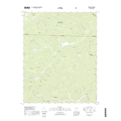
1953 Ketchen
Scott County, TN
1954 Norma
Scott County, TN
1955 Barthell SW
Scott County, TN
1955 Oneida North
Scott County, TN
1980 Ketchen
Scott County, TN
2000 Barthell SW
Scott County, TN
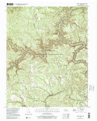
2000 Honey Creek
Scott County, TN
2010 Barthell SW
Scott County, TN
2010 Fork Mountain
Scott County, TN
2010 Honey Creek
Scott County, TN
2010 Ketchen
Scott County, TN
2010 Norma
Scott County, TN
2010 Oneida South
Scott County, TN
2011 Oneida North
Scott County, TN
2013 Barthell SW
Scott County, TN
2013 Fork Mountain
Scott County, TN
2013 Honey Creek
Scott County, TN
2013 Ketchen
Scott County, TN
2013 Norma
Scott County, TN
2013 Oneida North
Scott County, TN
2013 Oneida South
Scott County, TN
2016 Barthell SW
Scott County, TN
2016 Fork Mountain
Scott County, TN
2016 Honey Creek
Scott County, TN
2016 Ketchen
Scott County, TN
2016 Norma
Scott County, TN
2016 Oneida North
Scott County, TN
2016 Oneida South
Scott County, TN
2019 Barthell SW
Scott County, TN
2019 Fork Mountain
Scott County, TN
2019 Honey Creek
Scott County, TN
2019 Ketchen
Scott County, TN
2019 Norma
Scott County, TN
2019 Oneida North
Scott County, TN
2019 Oneida South
Scott County, TN
2022 Barthell SW
Scott County, TN
2022 Fork Mountain
Scott County, TN
2022 Honey Creek
Scott County, TN
2022 Ketchen
Scott County, TN
2022 Norma
Scott County, TN
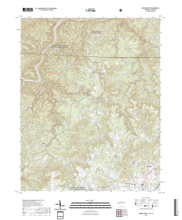
2022 Oneida North
Scott County, TN
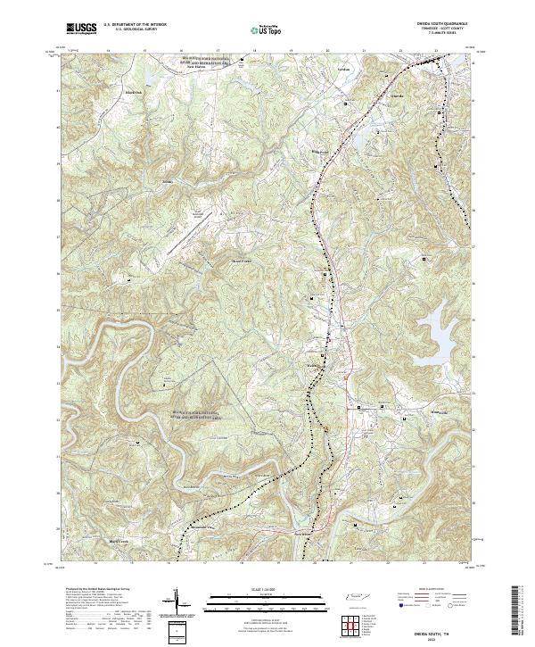
2022 Oneida South
Scott County, TN