2000s (21st Century) Maps of Alcoa, Tennessee
Explore 20 historic maps of Alcoa from the 2000s (21st Century). These maps offer a rare glimpse into what life looked like during the 2000s — showing old roads, neighborhoods, homes, and landmarks that have changed or disappeared over time.
Whether you're researching your family's past, planning a metal detecting trip, or studying how Alcoa's landscape evolved across the 2000s, these high-resolution maps are a powerful tool for exploring the history of this region.
- Focus on a specific era: All maps on this page are from the 2000s, giving you a focused view of this time period.
- See what’s changed: Compare century-old streets, trails, and buildings to today's modern landscape using overlays and satellite layers.
- Research with precision: Use these maps for genealogy, historical research, land use analysis, or educational projects.
- View, download, or print: Maps are fully viewable online in high resolution, and can be downloaded or printed for your own records.
Start exploring Alcoa's history through authentic maps from the 2000s. This is your window into the past.
Alcoa, TN maps
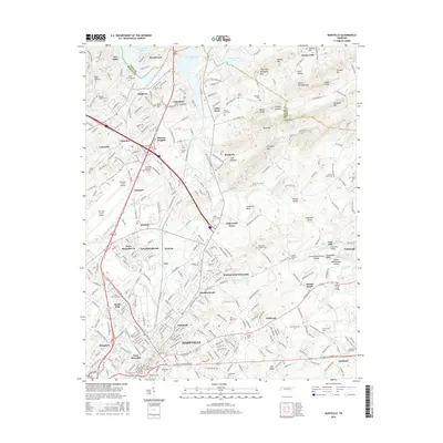
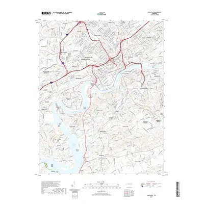
(20)- 2010 Map of Maryville, 2010 Print
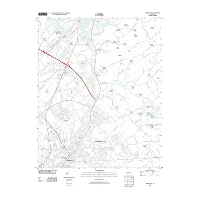 2010 Maryville2010 Print · USGSCovers Alcoa, including Knoxville, Maryville, and other nearby areas
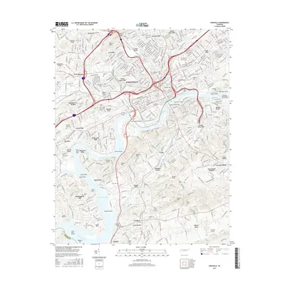
 - 2010 Map of Knoxville, 2010 Print
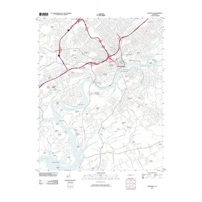 2010 Knoxville2010 Print · USGSCovers Alcoa, including Knoxville, Riverbend, and other nearby areas
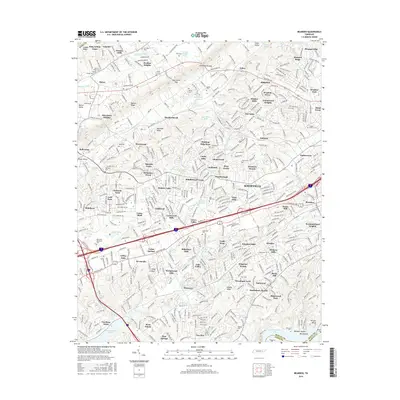
 - 2010 Map of Bearden, 2010 Print
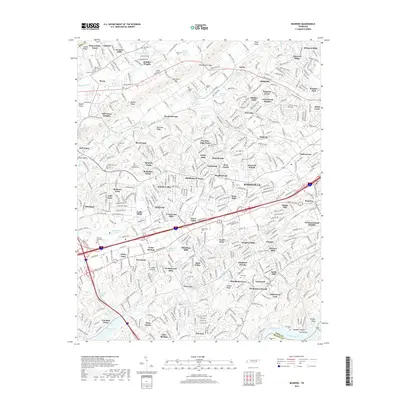
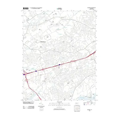 2010 Bearden2010 Print · USGSCovers Alcoa, including Knoxville, Gulfwood, and other nearby areas
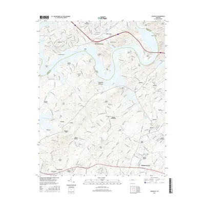
 - 2010 Map of Louisville, 2010 Print
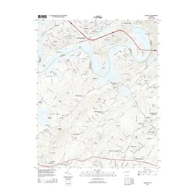
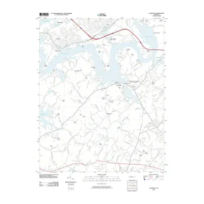 2010 Louisville2010 Print · USGSCovers Alcoa, including Knoxville, Maryville, and other nearby areas
 - 2014 Map of Louisville, 2014 Print
 2014 Louisville2014 Print · USGSCovers Alcoa, including Knoxville, Maryville, and other nearby areas
 - 2014 Map of Bearden, 2014 Print
 2014 Bearden2014 Print · USGSCovers Alcoa, including Knoxville, Gulfwood, and other nearby areas
 - 2014 Map of Knoxville, 2014 Print
 2014 Knoxville2014 Print · USGSCovers Alcoa, including Knoxville, Riverbend, and other nearby areas
 - 2014 Map of Maryville, 2014 Print
 2014 Maryville2014 Print · USGSCovers Alcoa, including Knoxville, Maryville, and other nearby areas
 - 2016 Map of Maryville, 2016 Print
 2016 Maryville2016 Print · USGSCovers Alcoa, including Knoxville, Maryville, and other nearby areas
 - 2016 Map of Knoxville, 2016 Print
 2016 Knoxville2016 Print · USGSCovers Alcoa, including Knoxville, Riverbend, and other nearby areas
 - 2016 Map of Bearden, 2016 Print
 2016 Bearden2016 Print · USGSCovers Alcoa, including Knoxville, Gulfwood, and other nearby areas
 - 2016 Map of Louisville, 2016 Print
 2016 Louisville2016 Print · USGSCovers Alcoa, including Knoxville, Maryville, and other nearby areas
 - 2019 Map of Knoxville, 2019 Print
 2019 Knoxville2019 Print · USGSCovers Alcoa, including Knoxville, Riverbend, and other nearby areas
 - 2019 Map of Maryville, 2019 Print
 2019 Maryville2019 Print · USGSCovers Alcoa, including Knoxville, Maryville, and other nearby areas
 - 2019 Map of Bearden, 2019 Print
 2019 Bearden2019 Print · USGSCovers Alcoa, including Knoxville, Gulfwood, and other nearby areas
 - 2019 Map of Louisville, 2019 Print
 2019 Louisville2019 Print · USGSCovers Alcoa, including Knoxville, Maryville, and other nearby areas
 - 2022 Map of Maryville, 2022 Print
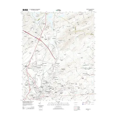
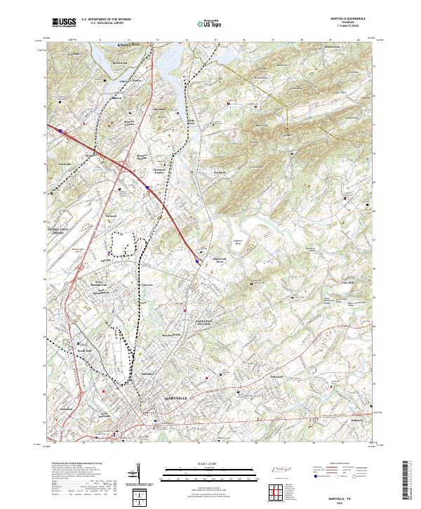 2022 Maryville2022 Print · USGSMaryville and the industrial center of Alcoa are shown in detail during the early 2020s as they continue to expand along the Little River. Researchers can locate dozens of local landmarks, from Maryville College to historic burial grounds like Grandview Cem and Mount Moriah Cem.
 - 2022 Map of Bearden, 2022 Print
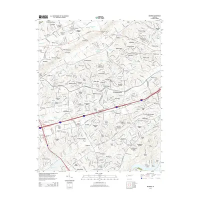
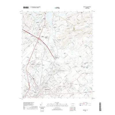
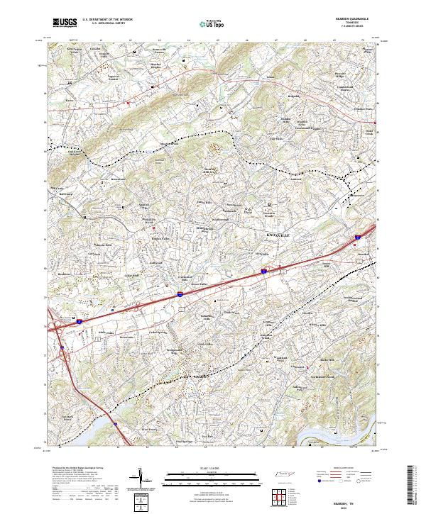 2022 Bearden2022 Print · USGSKnox County is captured in this modern survey as suburban expansion meets the ridges of East Tennessee. Genealogists and local historians can trace burial grounds like Mars Hill Cem, old throughways such as Middlebrook Pike, and the residential growth of Cedar Bluff near the Tennessee River.
 - 2022 Map of Louisville, 2022 Print
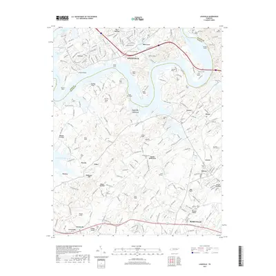
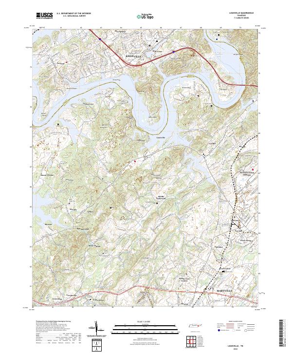 2022 Louisville2022 Print · USGSBlount County along the Tennessee River south of Knoxville shows a mix of historical settlement and modern growth. Genealogists and local researchers can locate numerous family burial sites like Davis Cem, the historic Holston College, and early communities such as Miser Station.
 - 2022 Map of Knoxville, 2022 Print
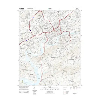
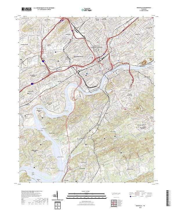 2022 Knoxville2022 Print · USGSKnoxville and its surrounding neighborhoods are captured in detail during the early 2020s as they span the banks of the Tennessee River. Researchers can trace the layout of the University of Tennessee, locate ancestral plots in Old Gray Cem, or explore rail history at Coster Yards.
End of results
Showing maps 1-20 of 20
Top cities near Alcoa
- Knoxville historical maps
- Maryville historical maps
- Oak Ridge historical maps
- Farragut historical maps
- Powell historical maps
- Mascot historical maps
See more
Top neighborhoods of Alcoa
- Farrport historical maps
- Hannum Addition historical maps
- Harth Addition historical maps
- Lakemont historical maps
- Vose historical maps
- Oldfield Addition historical maps
See more
Frequently asked questions
- What are the different types of historical maps available for Alcoa?
- What is the oldest map of Alcoa?
- Where can I purchase historical maps of Alcoa for my home or office?
- Where can I download high-res historical maps of Alcoa?
- Are there historical topographic maps available for Alcoa?
- Is there historical aerial imagery available for Alcoa?
- Where are historical maps of Alcoa sourced from?