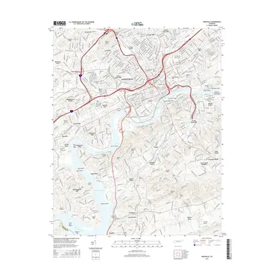
2016 Map of Knoxville
USGS Topo · Published 2016About this map
Knoxville is defined by its deep relationship with the Tennessee River and the industrial infrastructure that fueled its growth. At the heart of the city, The Univ of Tennessee campus and Summit Hill overlook the river, while the massive Coster Yards to the north illustrates the city's legacy as a rail hub. The landscape is marked by prominent ridges like Sharp Ridge and Chapman Ridge, which have historically dictated the expansion of neighborhoods such as Lonsdale, Park City, and South Knoxville.
Find a feature on this map
92 named features on this map. Tap any name to fly to it.
Don’t see what you’re looking for? This feature index may not catch every label — zoom into the map to look around manually.
Map Details
Editions of this 2016 Knoxville Map
This is the sole edition of this map. No revisions or reprints were ever made.
Other maps of this area

1886 · Knoxville
USGS Topo · 1:125,000

1892 · Knoxville
USGS Topo · 1:125,000

1893 · Briceville
USGS Topo · 1:125,000

1894 · Knoxville
USGS Topo · 1:125,000

1895 · Loudon
USGS Topo · 1:125,000

1895 · Briceville
USGS Topo · 1:125,000

1895 · Knoxville
USGS Topo · 1:125,000

1896 · Briceville
USGS Topo · 1:125,000

1897 · Maynardville
USGS Topo · 1:125,000

1900 · Maynardville
USGS Topo · 1:125,000