Old Maps of Louisville, Tennessee for Metal Detecting
Plan your next treasure hunt with 38 historic maps of Louisville. Find old homesites, ghost towns, trails, and gathering spots that may be lost to time — perfect for identifying promising metal detecting locations.
- Locate forgotten sites: Uncover places like long-lost settlements, abandoned rail lines, or gathering spots.
- Plan better hunts: Use map overlays combined with LiDAR or satellite views to narrow in on historically rich areas.
- Made for detectorists: Thousands of hobbyists use these maps to discover relics, coins, and hidden history.
Use these historic maps to boost your research and find new opportunities beneath the surface of Louisville.
Louisville, TN maps
(38)- 1886 Map of Knoxville
 1886 Knoxville1886 Print · USGSEast Tennessee in the late nineteenth century was a landscape of river ferries and mountain coves centered around the growing hub of Knoxville. Genealogists can locate family landmarks like Spencer Cabin, Montvale Springs, and the old Brabsons Ferry river crossing.
 - 1892 Map of Knoxville
 1892 Knoxville1892 Print · USGSEastern Tennessee in the late nineteenth century shows a landscape of river-valley commerce transitioning into the Great Smokies. Genealogists can trace early homesteads near Sevierville or locate landmarks like Porter Academy and Boyd Ferry.
 - 1894 Map of Knoxville
 1894 Knoxville1894 Print · USGSThe Tennessee valley meets the high Smokies in the 1890s, revealing a landscape of river ferries, mountain coves, and emerging rail towns. Genealogists and historians can trace early crossings at Boyd Ferry, established schools like Porter Academy, and the early footprints of Gatlinburg and Pigeon Forge.
 - 1895 Map of Loudon
 1895 Loudon1895 Print · USGSEastern Tennessee is mapped here during a decade of rail expansion and river-based commerce. Genealogists and historians can trace family-named river crossings and early industry at Huff Ferry, Hiwassee College, and Brick Mill.6 unique versions available
 - 1895 Map of Knoxville
 1895 Knoxville1895 Print · USGSThe Tennessee and French Broad Rivers converge in this late-nineteenth-century survey of East Tennessee’s rising landscape. Trace the early rail lines and mountain crossings that shaped life for families in Sevierville, Gatlinburg, and Maryville.2 unique versions available
 - 1901 Map of Knoxville
 1901 Knoxville1901 Print · USGSThe East Tennessee borderlands meet the high Smokies at the turn of the century. Genealogists can trace early homesteads and crossroads near Sevierville and Maryville, or find landmarks like Cade Cove and Gatlinburg before they became tourist hubs.5 unique versions available
 - 1935 Map of Knoxville
 1935 Knoxville1935 Print · USGSKnoxville and its southern Blount County neighbors appear here in the mid-1930s as the TVA era begins. Researchers can trace family roots through Mt Olive Cem, locate the old Eastern State Hospital, or study the early layout of Sequoyah Hills.
 - 1935 Map of Maryville
 1935 Maryville1935 Print · USGSBlount County in the mid-1930s reveals a unique mix of industrial expansion and traditional rural life. Researchers can trace the early footprint of Alcoa and Maryville College, or locate family landmarks like Beech Grove Ch and Bungalow Town.
 - 1936 Map of Louisville
 1936 Louisville1936 Print · USGSBlount County and the winding Tennessee River are captured here in the mid-thirties, showing a landscape defined by river bends and railroad stops. Genealogists can trace family roots through landmarks like Holston College, Lowe Ferry, and the settlement at Miser.
 - 1936 Map of Friendship
 1936 Friendship1936 Print · USGSEast Tennessee in the mid-1930s is documented here at a turning point for the river and rail landscape of Knox and Blount counties. Genealogists can trace family names at Mt Zion Ch, Martel Sch, and the riverside settlement of Louisville before the valley landscape was transformed.
 - 1941 Map of Louisville
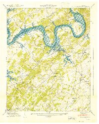 1941 Louisville1941 Print · USGSBlount and Knox counties are captured in the early 1940s as the Tennessee River valley prepared for the flooding of the Fort Loudoun Reservoir. Genealogists and historians can trace family locations near Miser Station, Mahoney Mill, and Pumpkin Center.
 - 1941 Map of Maryville
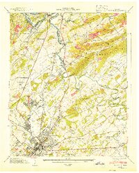 1941 Maryville1941 Print · USGSMaryville and Alcoa were industrial and educational hubs on the eve of the Second World War. Genealogists can trace family names through dozens of rural landmarks like Mt Moriah Ch, Everett Sch, and the riverside settlement of Rockford.2 unique versions available
 - 1953 Map of Chattanooga
 1953 Chattanooga1953 Print · USGSSoutheast Tennessee in the early fifties shows a landscape reshaped by river management and rail power. Trace the rail lines of the Southern Ry through riverside towns or locate the preserved grounds of the Chickamauga and Chattanooga National Military Park.
 - 1953 Map of Louisville, 1955 Print
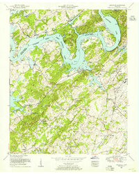 1953 Louisville1955 Print · USGSBlount and Knox counties meet along the sprawling waters of the Tennessee River in the early fifties. Genealogists can trace family names at Louisville Cemetery and Jones Cemetery or find old rail stops at Miser Station and Pumpkin Center.
 - 1953 Map of Maryville, 1955 Print
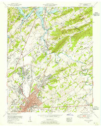 1953 Maryville1955 Print · USGSBlount County undergoes rapid change in the early fifties as industry and aviation reshape the landscape near the Tennessee River. Genealogists can locate family names at Harris Cemetery, study Maryville College, or trace the rail lines through Rockford and Alcoa.2 unique versions available
 - 1955 Map of Knoxville
 1955 Knoxville1955 Print · USGSThe Southern Appalachians and the Smoky Mountains are shown here at a peak of mid-century development and conservation. Genealogists and historians can trace the early road networks connecting Gatlinburg, Waynesville, and the Cherokee Indian Reservation across the high ridges.
 - 1957 Map of Knoxville, 1966 Print
 1957 Knoxville1966 Print · USGSThe Southern Appalachians of Tennessee and North Carolina are mapped here during the mid-twentieth century as new highways reached the high country. Genealogists and historians can trace the topography between Knoxville and Asheville, locating family landmarks near Fontana Lake or along the Blue Ridge Parkway.4 unique versions available
 - 1957 Map of Chattanooga, 1966 Print
 1957 Chattanooga1966 Print · USGSEast Tennessee in the mid-1960s shows a landscape of massive hydroelectric reservoirs and emerging industrial sites like the Atomic Energy Commission (Oak Ridge Area). Trace the rail networks of the Southern Ry through Chattanooga or locate family-named ridges across the Cumberland Plateau.3 unique versions available
 - 1959 Map of Chattanooga
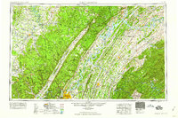 1959 Chattanooga1959 Print · USGSSoutheast Tennessee is shown here during a decade of industrial growth and hydroelectric development. Trace the regional rail networks of the Southern Ry and find landmark sites like Lookout Mountain, Fall Creek Falls State Park, and Chattanooga.
 - 1960 Map of Knoxville
 1960 Knoxville1960 Print · USGSThe Southern Appalachians come alive in the 1950s, showing the intersection of new national park tourism and deep-rooted mountain industry. Trace old rail lines like the Clinchfield RR and find high-altitude landmarks from Mt Le Conte to the Cherokee Indian Reservation.2 unique versions available
 - 1960 Map of Chattanooga
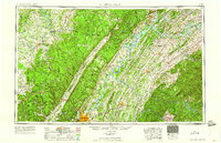 1960 Chattanooga1960 Print · USGSSoutheast Tennessee and the southern Appalachians are shown here at the height of the river-management era. You can trace the valley rail lines and locate Lookout Mountain and the expansive waters of Chickamauga Reservoir.
 - 1964 Map of Chattanooga
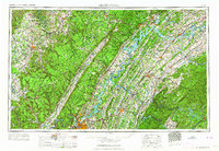 1964 Chattanooga1964 Print · USGSSoutheast Tennessee and the western Carolinas appear in the mid-sixties as a powerhouse of river-driven industry and mountain wilderness. Genealogists and historians can trace rail-town lineages along the Southern Ry or locate family landmarks near Watts Bar Lake and Tellico Plains.
 - 1964 Map of Knoxville
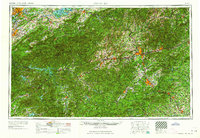 1964 Knoxville1964 Print · USGSThe Southern Appalachians and Great Smokies are captured here during the mid-sixties, showing the rugged borderlands of Tennessee and North Carolina. Researchers can trace historic mountain routes like U S 441, the expanse of Pisgah National Forest, and the growing footprints of Asheville and Knoxville.
 - 1966 Map of Maryville, 1968 Print
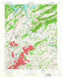 1966 Maryville1968 Print · USGSMid-century Maryville and Alcoa are captured during a period of significant growth and aviation expansion. Researchers can trace the footprints of Maryville College, the Mc Ghee Tyson Air Force Base, and old crossings like Brakebill Island.
 - 1968 Map of Louisville, 1972 Print
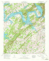 1968 Louisville1972 Print · USGSThe Blount and Knox county borderlands are captured here in the late sixties, where the rising waters of Fort Loudoun Lake met established rail and military hubs. Trace family history at Miser Station, Mahoney Mill, or the Louisville Cem.5 unique versions available
Showing maps 1-25 of 38
Top cities near Louisville
- Knoxville historical maps
- Maryville historical maps
- Oak Ridge historical maps
- Farragut historical maps
- Powell historical maps
- Alcoa historical maps
See more
Top neighborhoods of Louisville
- Carlton historical maps
- Lakeview historical maps
- Mentor historical maps
- Pumpkin Center historical maps
- Middle Settlement historical maps
- Cactus Cove historical maps
Frequently asked questions
- What are the different types of historical maps available for Louisville?
- What is the oldest map of Louisville?
- Where can I purchase historical maps of Louisville for my home or office?
- Where can I download high-res historical maps of Louisville?
- Are there historical topographic maps available for Louisville?
- Is there historical aerial imagery available for Louisville?
- Where are historical maps of Louisville sourced from?