2020s Maps of Campbell County, Tennessee
Explore 17 historic maps of Campbell County from the 2020s. These maps offer a rare glimpse into what life looked like during the 2020s — showing old roads, neighborhoods, homes, and landmarks that have changed or disappeared over time.
Whether you're researching your family's past, planning a metal detecting trip, or studying how Campbell County's landscape evolved across the 2020s, these high-resolution maps are a powerful tool for exploring the history of this region.
- Focus on a specific era: All maps on this page are from the 2020s, giving you a focused view of this time period.
- See what’s changed: Compare century-old streets, trails, and buildings to today's modern landscape using overlays and satellite layers.
- Research with precision: Use these maps for genealogy, historical research, land use analysis, or educational projects.
- View, download, or print: Maps are fully viewable online in high resolution, and can be downloaded or printed for your own records.
Start exploring Campbell County's history through authentic maps from the 2020s. This is your window into the past.
Campbell County, TN maps
(17)- 2022 Map of Well Spring, 2022 Print
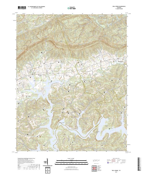 2022 Well Spring2022 Print · USGSNear the intersection of Campbell, Claiborne, and Union counties, this modern survey documents the ancestral cemeteries and river-bend landscapes of East Tennessee. Family historians can locate dozens of burial sites like Well Spring Cem and Childress Cem along the Powell River.
 - 2022 Map of Ketchen, 2022 Print
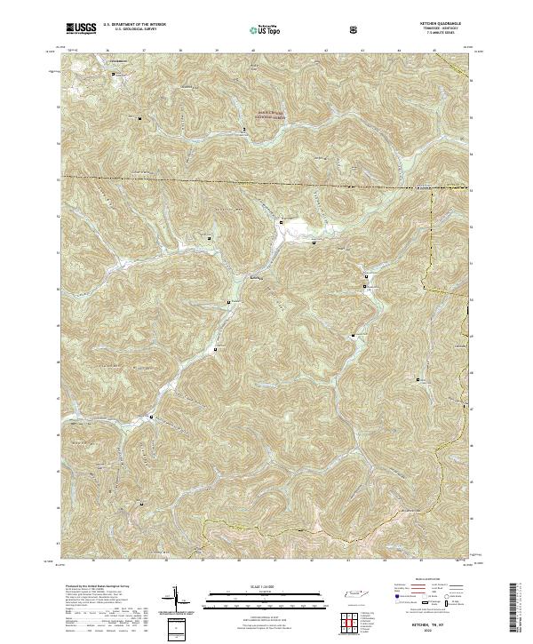 2022 Ketchen2022 Print · USGSThe Tennessee-Kentucky borderlands come alive in the early 2020s, showing a landscape defined by deep ridges and isolated family settlements. Genealogists can trace ancestral sites through numerous cemeteries like Blankenship Cem, Lawson Cem, and Rock Creek Cem.
 - 2022 Map of Jellico East, 2022 Print
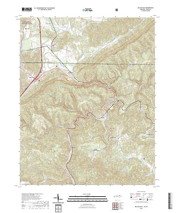 2022 Jellico East2022 Print · USGSIn the Cumberland Mountains along the Tennessee-Kentucky line, this recent survey tracks the communities and family landmarks of the high ridges. Researchers can locate remote burial sites like Bowlin Cem or trace the early paths through Rich Mountain Gap and Car Gap.
 - 2022 Map of Block, 2022 Print
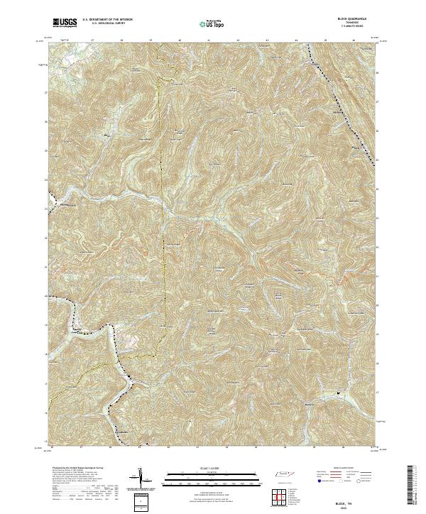 2022 Block2022 Print · USGSThe mountain valleys of Campbell and Scott counties are revealed in this modern survey of the Cumberland Plateau. Researchers can trace historic cemeteries and small settlements like Smoky Junction, Nicks Creek Cem, and Peewee.
 - 2022 Map of Eagan, 2022 Print
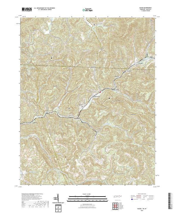 2022 Eagan2022 Print · USGSThe Tennessee-Kentucky border comes alive in this survey of the Clear Fork river valley. Researchers can trace family history through sites like King Cem, the Mount Olive Ch, and rail-side settlements from Eagan to Pruden.
 - 2022 Map of Ivydell, 2022 Print
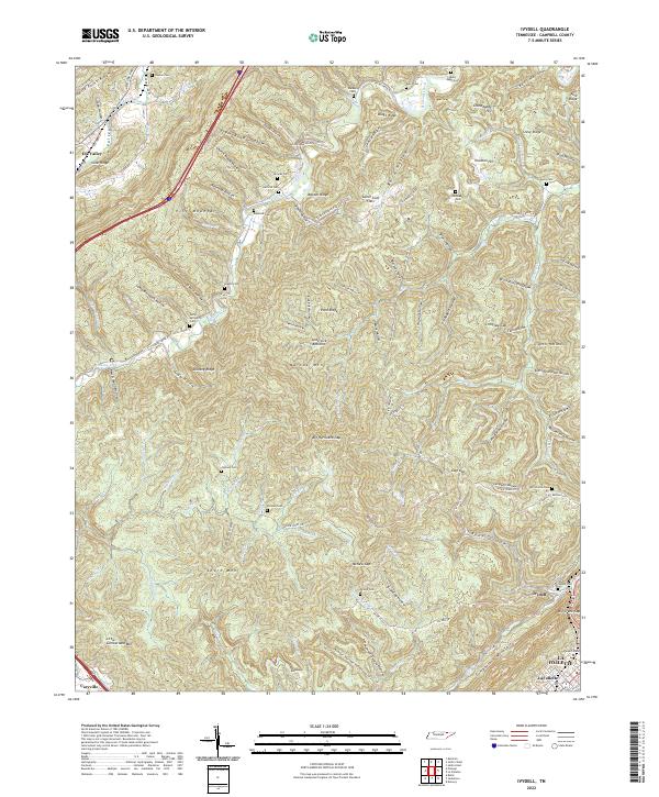 2022 Ivydell2022 Print · USGSCampbell County’s ridge-and-valley landscape is documented here in the early twenty-first century, showing the enduring rural settlement patterns of the region. Genealogists can locate numerous family burial sites like Samp Meredith Cem and Reynolds Cem tucked into the hollows of Pine Mountain.
 - 2022 Map of Fork Mountain, 2022 Print
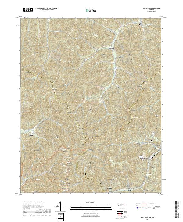 2022 Fork Mountain2022 Print · USGSThe Cumberland Mountains in the 2020s remain a landscape of isolated valleys and steep ridges at the meeting of Scott, Anderson, and Morgan Counties. Researchers can trace family history through numerous mountain burial grounds like Daughtery Cem 2 and Beech Grove Cem or locate old coal camps such as Moores Camp.
 - 2022 Map of Jellico West, 2022 Print
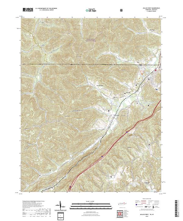 2022 Jellico West2022 Print · USGSThe Tennessee-Kentucky border comes alive in this 2022 survey of the valleys below Pine Mountain. Genealogists and local historians can trace family burial sites like Beard Cem and Jellico Cem near settlements such as Newcomb and Wooldridge.
 - 2022 Map of Norma, 2022 Print
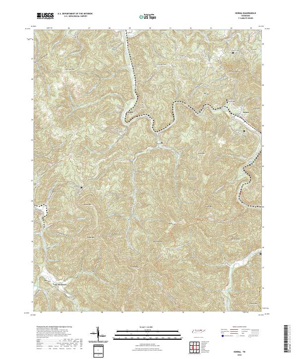 2022 Norma2022 Print · USGSThe mountains of Scott County come alive in this 2020s survey, showing a landscape defined by the winding New River and steep ridge-top trails. Family history researchers can locate several upland burial sites, including the Phillip Cem, Lowe Cem, and Rob Sexton Cem.
 - 2022 Map of Pioneer, 2022 Print
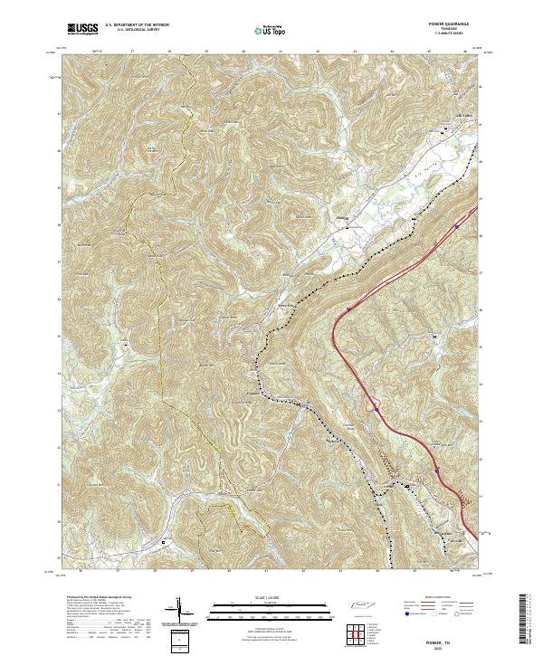 2022 Pioneer2022 Print · USGSUpper East Tennessee mountain life is detailed here as the modern century unfolds across the Campbell County ridges. Genealogists and historians can trace family roots through numerous burial sites like Lay Cemetery and Valley View Cemetery or locate old settlements like Stanfill and Pioneer.
 - 2022 Map of Norris, 2022 Print
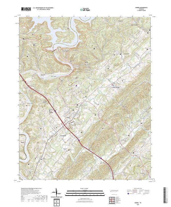 2022 Norris2022 Print · USGSAnderson County and the Clinch River valley are shown here in the modern era, centering on the planned community of Norris. Researchers can trace family history through numerous sites like Longmire Cem, Old Red Hill Cem, and the Bethel Baptist Cem.
 - 2022 Map of Lake City, 2022 Print
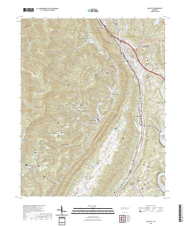 2022 Lake City2022 Print · USGSThe coal-rich ridges of Anderson and Campbell Counties are shown here during the early 2020s. Researchers can locate dozens of mountain burial sites and mining-era settlements like Fraterville, Minersville, and the Miners Circle Cem.
 - 2022 Map of La Follette, 2022 Print
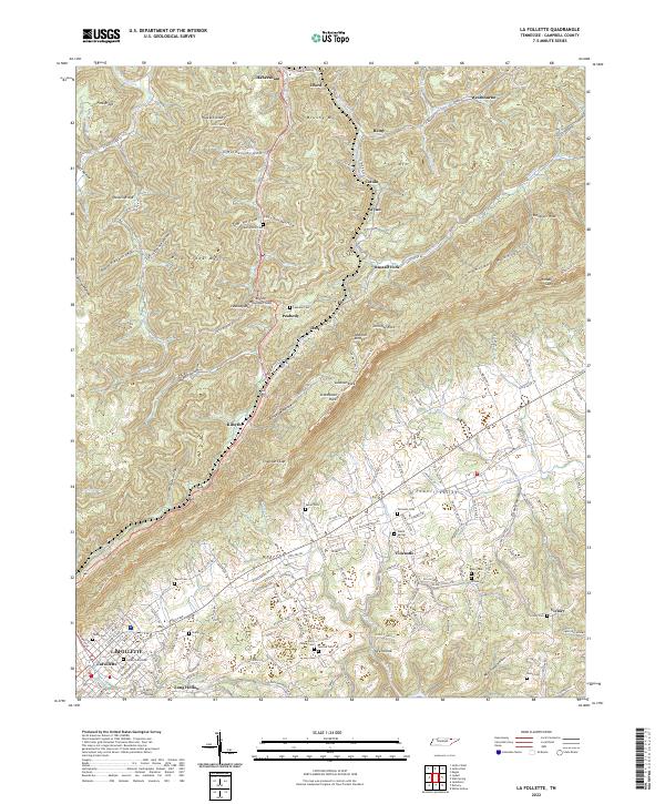 2022 La Follette2022 Print · USGSThe Cumberland Mountains meet the Powell Valley in this 2020s survey of Campbell County. Genealogists can trace family names through numerous rural burial sites like Fincastle Cem, Victory Cem, and the community surrounding Davis Chapel.
 - 2022 Map of White Hollow, 2022 Print
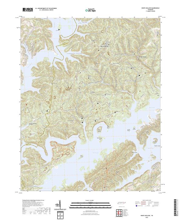 2022 White Hollow2022 Print · USGSUnion County's ridges and the winding fingers of Norris Lake define this region in the modern era. Genealogists can trace decades of local families through numerous small burial sites like Lost Creek Cem, Mossy Springs Cem, and Weaver Cem.
 - 2022 Map of Duncan Flats, 2022 Print
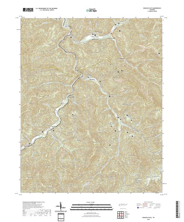 2022 Duncan Flats2022 Print · USGSThe Cumberland Mountains come into focus in this recent survey of the ridges and hollows north of Anderson. Genealogists can trace family heritage through a high density of rural burial sites like Asslinger Cem, Mountain Home Cem, and the community of Clinchmore.
 - 2022 Map of Jacksboro, 2022 Print
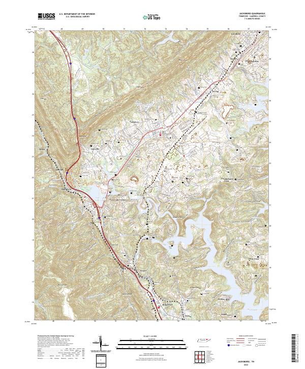 2022 Jacksboro2022 Print · USGSThe Powell Valley is shown here in the 2020s, where the Cumberland Mountains meet the waters of Norris Lake. Researchers can locate numerous family burial sites like Tiller Ford Cem and Poor Farm Cem, or trace the historic CSX RR through Caryville.
 - 2022 Map of Demory, 2022 Print
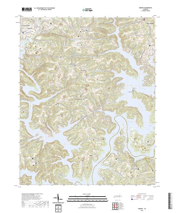 2022 Demory2022 Print · USGSThe intricate shoreline of Norris Lake meets the ridges of East Tennessee in this detailed 2022 survey. Genealogists and researchers can trace family-named sites like Baker Forge Memorial Cem, Stooksbury Cem, and the settlement at Grantsboro.
End of results
Showing maps 1-17 of 17
Top cities of Campbell County
- La Follette historical maps
- Jacksboro historical maps
- Caryville historical maps
- Jellico historical maps
Frequently asked questions
- What are the different types of historical maps available for Campbell County?
- What is the oldest map of Campbell County?
- Where can I purchase historical maps of Campbell County for my home or office?
- Where can I download high-res historical maps of Campbell County?
- Are there historical topographic maps available for Campbell County?
- Is there historical aerial imagery available for Campbell County?
- Where are historical maps of Campbell County sourced from?