2000s (21st Century) Maps of Campbell County, Tennessee
Explore 85 historic maps of Campbell County from the 2000s (21st Century). These maps offer a rare glimpse into what life looked like during the 2000s — showing old roads, neighborhoods, homes, and landmarks that have changed or disappeared over time.
Whether you're researching your family's past, planning a metal detecting trip, or studying how Campbell County's landscape evolved across the 2000s, these high-resolution maps are a powerful tool for exploring the history of this region.
- Focus on a specific era: All maps on this page are from the 2000s, giving you a focused view of this time period.
- See what’s changed: Compare century-old streets, trails, and buildings to today's modern landscape using overlays and satellite layers.
- Research with precision: Use these maps for genealogy, historical research, land use analysis, or educational projects.
- View, download, or print: Maps are fully viewable online in high resolution, and can be downloaded or printed for your own records.
Start exploring Campbell County's history through authentic maps from the 2000s. This is your window into the past.
Campbell County, TN maps
(85)- 2010 Map of Demory, 2010 Print
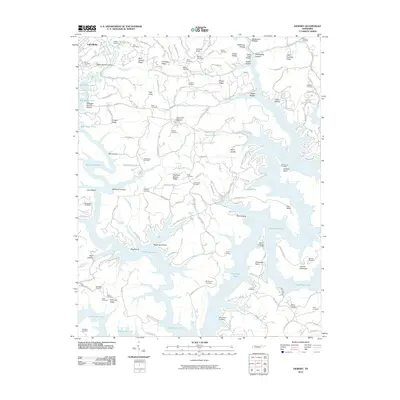 2010 Demory2010 Print · USGSThe shorelines of Big Ridge Lake and the Powell River define this part of Campbell County as it appeared in 2010. Genealogists can locate dozens of historic burial grounds such as Grantsboro Cemetery, Baker Forge Memorial Cemetery, and Mount Moriah Cemetery.
 - 2010 Map of Pioneer, 2010 Print
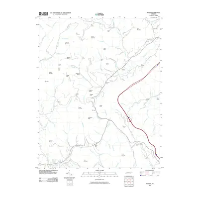 2010 Pioneer2010 Print · USGSCaryville and the high ridgelines of Campbell County are captured here in the early twenty-first century, showcasing a landscape shaped by coal and hollows. Family researchers can locate numerous family burial sites like Valley View Cemetery and Cross Cemetery or trace old industry at the Mooney Mine.
 - 2010 Map of Block, 2010 Print
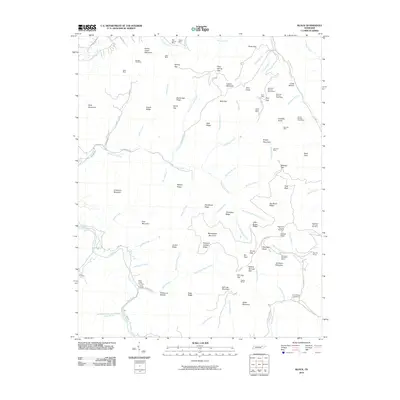 2010 Block2010 Print · USGSCaryville and the surrounding mountains are shown during a period of active resource extraction and established family settlements. Genealogists and historians can locate remote burial sites like Nicks Creek Cemetery or trace the legacy of the coal industry through Hurricane Mountain Mines and Red Ash Mines.
 - 2010 Map of Norma, 2010 Print
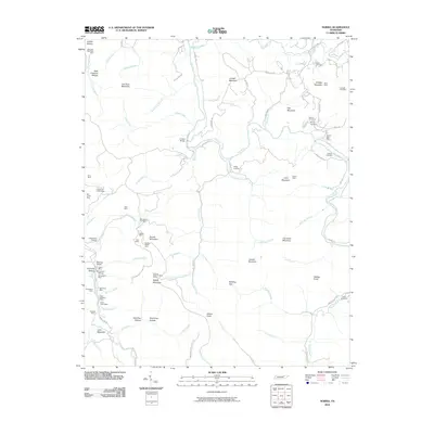 2010 Norma2010 Print · USGSScott County’s coal country and the New River corridor are documented here in the early twenty-first century. Researchers can trace the rail-and-mine economy through Goodman Siding and find family heritage at Rector Cemetery or the Rob Sexton Cemetery.
 - 2010 Map of La Follette, 2010 Print
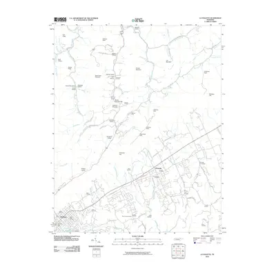 2010 La Follette2010 Print · USGSLa Follette and the Tennessee high country are documented here in the early twenty-first century. Genealogists can trace family names across numerous sites like Fincastle Cemetery, the James Mine, and the unique Do-help-me Hollow.
 - 2010 Map of Duncan Flats, 2010 Print
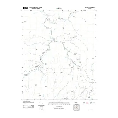 2010 Duncan Flats2010 Print · USGSThe Cumberland Mountains of East Tennessee are mapped here during the late 2000s, showing a rugged landscape defined by coal mining and family history. Researchers can trace deep roots through sites like the Patterson Cemeteries, Clinchmore Mine, and the settlement at Rosedale.
 - 2010 Map of Ivydell, 2010 Print
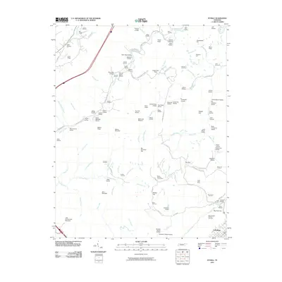 2010 Ivydell2010 Print · USGSNorth of LaFollette in the early twenty-first century, the Tennessee landscape remains a dense network of family-named hollows and ridge-top lookouts. Genealogists can trace local heritage through sites like Ivydell Cemetery, the Walnut Mountain Lookout Tower, and the Indian Creek Mines.
 - 2010 Map of Eagan, 2010 Print
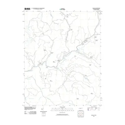 2010 Eagan2010 Print · USGSThe Tennessee-Kentucky border comes into focus in this recent survey of Appalachia's mining heartland. Local historians can trace family roots through the Partin Cemetery or locate industrial sites like the Upper Eagan Mine and Arnold Number Two Mine.
 - 2010 Map of White Hollow, 2010 Print
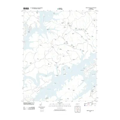 2010 White Hollow2010 Print · USGSThe Tennessee landscape around the Powell River was characterized by winding shorelines and family-named ridges in the early 21st century. Researchers can locate numerous ancestral burial sites like Lays Cemetery and trace local landmarks such as Big Ridge Lake and Wilson Prospect.
 - 2010 Map of Well Spring, 2010 Print
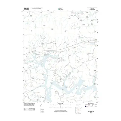 2010 Well Spring2010 Print · USGSThis part of Campbell County along the Powell River is documented in the early twenty-first century, showing a landscape defined by its hollows and family homesteads. Genealogists can locate dozens of burial sites including Childress Cemetery, Bethlehem Cemetery, and the Speedwell Post Office.
 - 2010 Map of Norris, 2010 Print
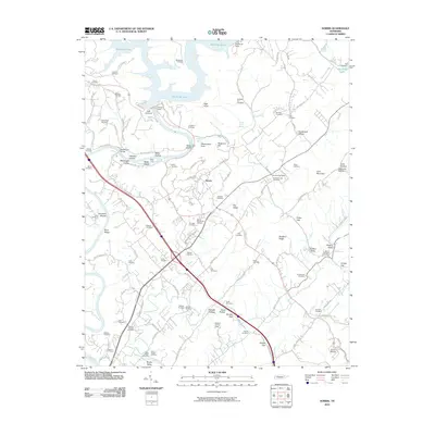 2010 Norris2010 Print · USGSThe Clinch River and the engineering of Norris Dam define this Anderson County landscape in the early twenty-first century. Researchers can trace dozens of family-named burial grounds like Disney Cemetery and Massengill Cemetery or locate the Anderson Post Office.
 - 2010 Map of Jacksboro, 2010 Print
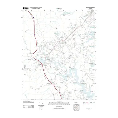 2010 Jacksboro2010 Print · USGSIn the heart of the Cumberland foothills during the early twenty-first century, this map documents the area surrounding Jacksboro and Caryville. Researchers can trace local lineage through dozens of family burial sites like Poor Farm Cemetery or explore the mining history at Red Ash Mines.
 - 2010 Map of Lake City, 2010 Print
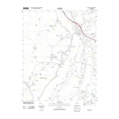 2010 Lake City2010 Print · USGSAnderson County's industrial and coal-mining heart is captured here shortly before Lake City was renamed to Rocky Top. Family researchers can locate dozens of burial sites like Miners Circle Cemetery and trace historical workings at the Thistle Mine or Beech Grove Mine.
 - 2010 Map of Fork Mountain, 2010 Print
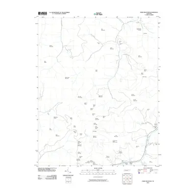 2010 Fork Mountain2010 Print · USGSAnderson County's rugged mining landscape comes into focus at the dawn of the 21st century, revealing an area shaped by deep-mountain coal extraction. Genealogists and industrial historians can locate ancestral sites like Patterson Cemetery and Devonia Post Office alongside operations such as the Mahan-Ellison Mine.
 - 2010 Map of Ketchen, 2010 Print
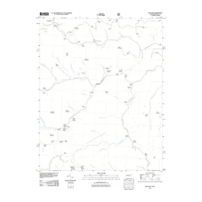 2010 Ketchen2010 Print · USGSThe Tennessee-Kentucky borderlands appear in detail at the turn of the 21st century, showing a landscape of mining and mountain hollows. Genealogists can locate family burial sites like Blankenship Cemetery and Adkins Cemetery near the Gum Fork Mine.
 - 2011 Map of Jellico West, 2011 Print
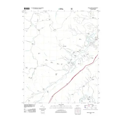 2011 Jellico West2011 Print · USGSThe mountain borderlands of Jellico and Newcomb are captured here in a period of modern development that still follows the footprints of old industry. Genealogists and local historians can locate numerous family burial sites like Beard Cemetery and Hackler Cemetery, or trace the industrial roots of Whistle Creek Mine.
 - 2011 Map of Jellico East, 2011 Print
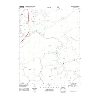 2011 Jellico East2011 Print · USGSThe Tennessee-Kentucky border comes alive in this early 21st-century survey of the coal-rich mountains near Jellico. Researchers can trace family sites and industrial roots through landmarks like the Morley Post Office, the Blue Rose Mine, and Chadwell Cemetery.
 - 2013 Map of Ivydell, 2013 Print
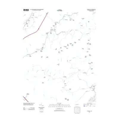 2013 Ivydell2013 Print · USGSThe ridge-and-hollow country of Campbell County is shown here in the early twenty-first century, centering on the communities of Elk Valley and Ivydell. Genealogists and local historians can trace family roots through numerous sites like Walden Cem, Hatmaker Cem, and Gibson Cem.
 - 2013 Map of Pioneer, 2013 Print
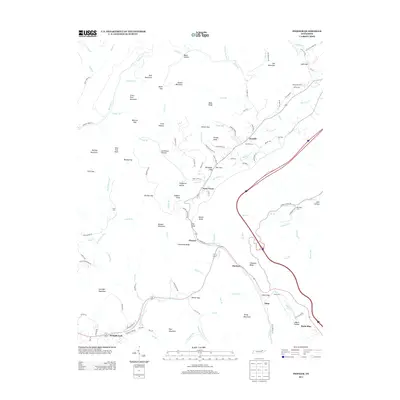 2013 Pioneer2013 Print · USGSUpper East Tennessee mountain life is detailed here in the early twenty-first century, showing the ridges and gaps that define the area. Trace local family history through numerous small burial sites like Stanfield Cem, Baird Cem, and Cross Cem near settlements like Pioneer.
 - 2013 Map of Block, 2013 Print
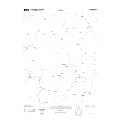 2013 Block2013 Print · USGSThe high ridges and river forks of northern Tennessee are documented here during the early 2010s. Researchers can locate family landmarks and rural settlements like Smoky Junction, Brookside, and burials at Nicks Creek Cem.
 - 2013 Map of Norma, 2013 Print
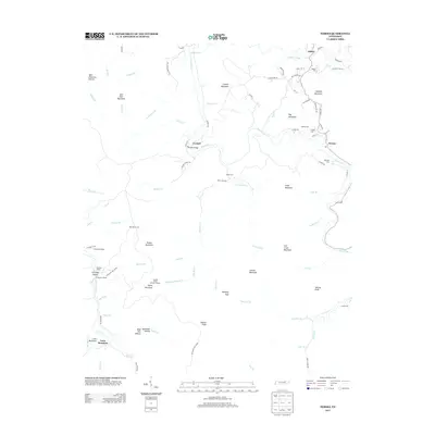 2013 Norma2013 Print · USGSThe highland valleys of Scott County are captured here in the early twenty-first century, showing a landscape of scattered settlements and mountain ridges. Genealogists can locate several family burial grounds like Rector Cem and Hamon Cem or trace rail history at Goodman Siding.
 - 2013 Map of Well Spring, 2013 Print
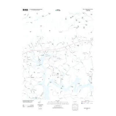 2013 Well Spring2013 Print · USGSEast Tennessee's river valleys and ridge-top cemeteries are documented here during the early twenty-first century. Researchers can trace family roots at Goins Cem and Bethlehem Cem or locate old community hubs like Well Spring and Braden.
 - 2013 Map of Norris, 2013 Print
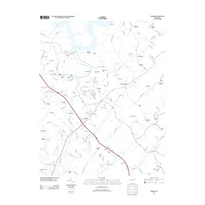 2013 Norris2013 Print · USGSThe Clinch River valley and the planned community of Norris are shown here in the early twenty-first century. Researchers can locate family landmarks like Massengill Bridge, the Riner Farm Airport, and rural springs such as Nelson Spring.
 - 2013 Map of Lake City, 2013 Print
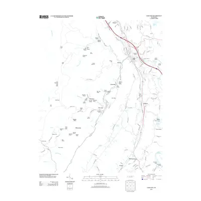 2013 Lake City2013 Print · USGSAnderson County's coal mining heritage is visible in the hills above Lake City during the early twenty-first century. Researchers can trace the layout of mountain settlements like Briceville, Fraterville, and Slatestone tucked among hollows and ridges.
 - 2013 Map of Jacksboro, 2013 Print
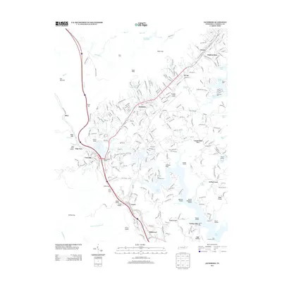 2013 Jacksboro2013 Print · USGSThe community of Jacksboro and the rugged hollows of Campbell County are captured here just after the turn of the millennium. Genealogists and historians can trace local landmarks like Lindsay Mill, the Indian Grave Tunnel, and the residential growth near Norris Lake.
Showing maps 1-25 of 85
Top cities of Campbell County
- La Follette historical maps
- Jacksboro historical maps
- Caryville historical maps
- Jellico historical maps
Frequently asked questions
- What are the different types of historical maps available for Campbell County?
- What is the oldest map of Campbell County?
- Where can I purchase historical maps of Campbell County for my home or office?
- Where can I download high-res historical maps of Campbell County?
- Are there historical topographic maps available for Campbell County?
- Is there historical aerial imagery available for Campbell County?
- Where are historical maps of Campbell County sourced from?