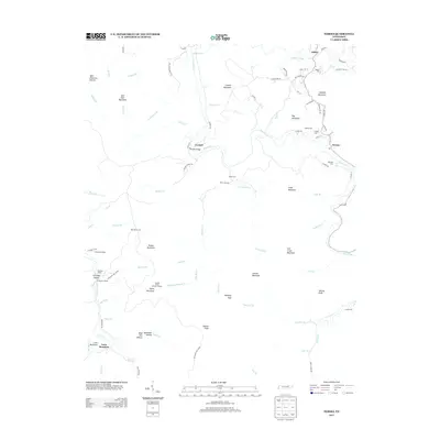
2013 Map of Norma
USGS Topo · Published 2013About this map
New River and its numerous tributaries, including Big Bull Cr and Lick Cr, carve a complex drainage pattern through this highland region of Scott County. The landscape is defined by a succession of high points and ridges such as Day Mountain, Straight Mountain, and Signal Mountain, the latter of which features Lookout Tower Number Sixteen. This 2013 survey illustrates a rural infrastructure centered on the valley floors, where small settlements like Norma and Cordell are connected by roads like Norma Rd and the notable Cordell Bridge. Industrial history is evident along the western edge near Brimstone Cr, where several rail sidings including Goodman Siding, Sterling Siding, and Brimstone Siding appear alongside the Richland Coal Co Rd, highlighting the area's history of extraction and transport.
Find a feature on this map
90 named features on this map. Tap any name to fly to it.
Don’t see what you’re looking for? This feature index may not catch every label — zoom into the map to look around manually.
Map Details
Editions of this 2013 Norma Map
This is the sole edition of this map. No revisions or reprints were ever made.
Other maps of this area

1893 · Briceville
USGS Topo · 1:125,000

1895 · Wartburg
USGS Topo · 1:125,000

1895 · Briceville
USGS Topo · 1:125,000

1896 · Wartburg
USGS Topo · 1:125,000

1896 · Briceville
USGS Topo · 1:125,000

1935 · Gobey
USGS Topo · 1:24,000

1936 · Hogbell Gap
USGS Topo · 1:24,000

1936 · Block
USGS Topo · 1:24,000

1936 · Pioneer
USGS Topo · 1:24,000

1936 · Duncan Flats
USGS Topo · 1:24,000