2000s (21st Century) Maps of Cannon County, Tennessee
Explore 45 historic maps of Cannon County from the 2000s (21st Century). These maps offer a rare glimpse into what life looked like during the 2000s — showing old roads, neighborhoods, homes, and landmarks that have changed or disappeared over time.
Whether you're researching your family's past, planning a metal detecting trip, or studying how Cannon County's landscape evolved across the 2000s, these high-resolution maps are a powerful tool for exploring the history of this region.
- Focus on a specific era: All maps on this page are from the 2000s, giving you a focused view of this time period.
- See what’s changed: Compare century-old streets, trails, and buildings to today's modern landscape using overlays and satellite layers.
- Research with precision: Use these maps for genealogy, historical research, land use analysis, or educational projects.
- View, download, or print: Maps are fully viewable online in high resolution, and can be downloaded or printed for your own records.
Start exploring Cannon County's history through authentic maps from the 2000s. This is your window into the past.
Cannon County, TN maps
(45)- 2010 Map of Auburntown, 2010 Print
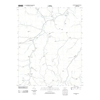 2010 Auburntown2010 Print · USGSAuburntown and its surrounding rural hollows are captured in this recent survey of Cannon County. Genealogists can trace family heritage through numerous burial sites like Kennedy Cemetery and landmarks such as Fodderstack Knob and Saunders Fork.
 - 2010 Map of Gassaway, 2010 Print
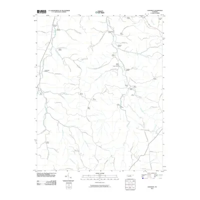 2010 Gassaway2010 Print · USGSThe hollows and ridges of DeKalb County are captured here during the early twenty-first century. Genealogists and historians can trace family roots through numerous cemeteries and landmarks like Braswell Cemetery, Fuson Cemetery, and Indian Grave Point.
 - 2010 Map of Short Mountain, 2010 Print
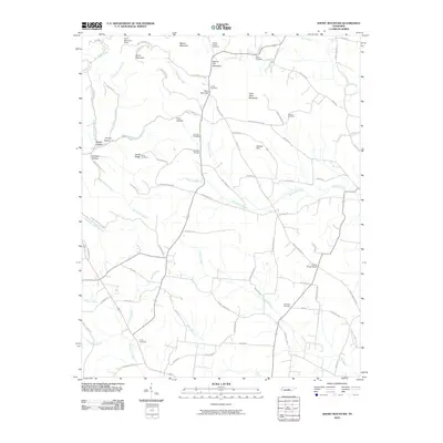 2010 Short Mountain2010 Print · USGSThe Tennessee highlands take center stage in the first decade of the new millennium, showcasing a landscape of high ridges and deep hollows. Genealogists and historians can locate numerous family burial sites such as Preston Cemetery and Melton Cemetery, alongside landmarks like Osment Chapel.
 - 2010 Map of Hollow Springs, 2010 Print
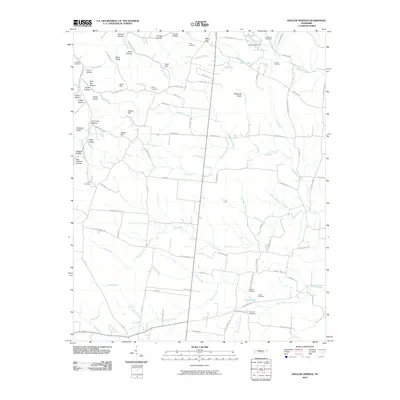 2010 Hollow Springs2010 Print · USGSHollow Springs and its surrounding Tennessee countryside appear here in the early twenty-first century, defined by a maze of family-named ridges and hollows. Genealogists can trace property roots through numerous burial grounds like King Cemetery or find local landmarks such as Goldwater Spring and Whiteoak Slash.
 - 2010 Map of Beechgrove, 2010 Print
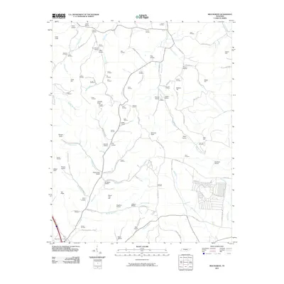 2010 Beechgrove2010 Print · USGSCoffee County remains a landscape of deep hollows and family homesteads as seen in the first decade of the millennium. Genealogists can trace decades of local history through dozens of named burial sites like Thyatira Cemetery, Donnell Cemetery, and the Beech Grove Post Office area.
 - 2010 Map of Woodbury, 2010 Print
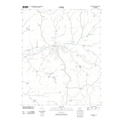 2010 Woodbury2010 Print · USGSCannon County’s seat and its surrounding hollows are mapped here during the early twenty-first century. Genealogists and local historians can locate dozens of family burial sites including Sullivan Cemetery, Preston Cemetery, and Mears Cemetery.
 - 2010 Map of Readyville, 2010 Print
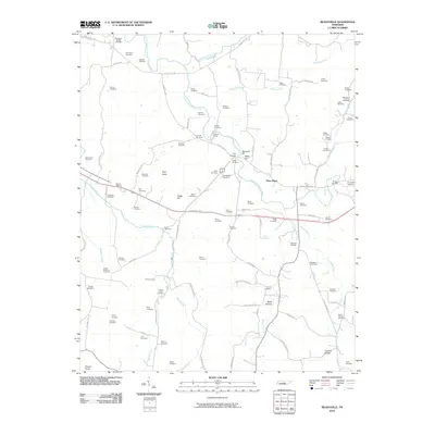 2010 Readyville2010 Print · USGSRutherford County at the start of the 2010s shows a landscape defined by its river forks and deep family roots. Researchers can trace dozens of local burial grounds and historic sites like Readyville Mill, Gooch Ford, and The Corners.
 - 2010 Map of Milton, 2010 Print
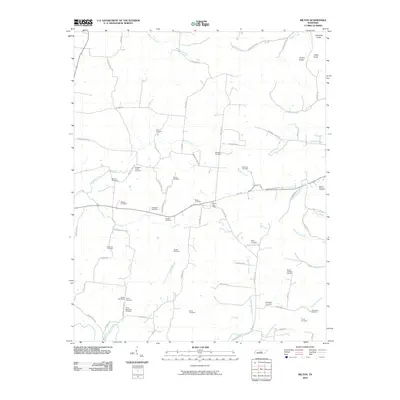 2010 Milton2010 Print · USGSMid-state Tennessee hill country and creek bottoms are meticulously documented here in the early twenty-first century. Genealogists can locate over a dozen family burial sites, including the Rucker Goodloe Cemetery and Bradleys Creek Cemetery.
 - 2010 Map of Centertown, 2010 Print
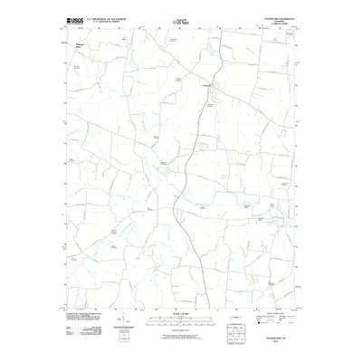 2010 Centertown2010 Print · USGSCentertown and the rural stretches of Warren County are shown here in the early twenty-first century, revealing a landscape shaped by the Barren Fork. Researchers can trace numerous family burial sites and landmarks like Old Fellowship Cemetery, Starkey Rock, and the Poor House Cemetery.
 - 2013 Map of Gassaway, 2013 Print
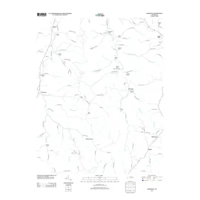 2013 Gassaway2013 Print · USGSThe Tennessee countryside around Gassaway is mapped here during its modern era of rural development. Researchers can trace family-named landmarks through the many hollows or locate the small settlements of Mount Ararat and Bluhmtown.
 - 2013 Map of Short Mountain, 2013 Print
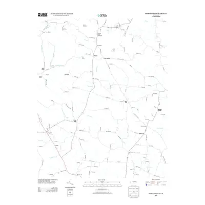 2013 Short Mountain2013 Print · USGSWarren County at the start of the 2010s is characterized by its elevated ridges and scattered rural hamlets. Genealogists and local historians can trace the roads connecting Bratchers Crossroads and Devenport or locate family landmarks like Osment Chapel and Sugar Tree Knob.
 - 2013 Map of Milton, 2013 Print
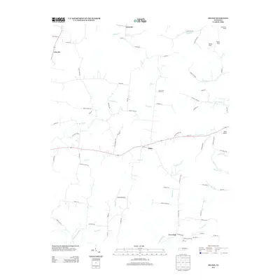 2013 Milton2013 Print · USGSThe rural countryside of Wilson County comes to life in this recent survey, showcasing a landscape of family farms and creek-side settlements. Genealogists and local historians can trace the roads connecting Milton and Cainsville or locate Stonewall Airpark.
 - 2013 Map of Woodbury, 2013 Print
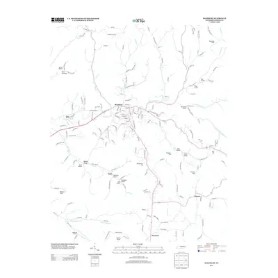 2013 Woodbury2013 Print · USGSCannon County is captured here in the early 2010s, centered on the historic town of Woodbury. Genealogists and local historians can trace family-named landmarks and rural outposts such as Dobbs Cemetery, Sheybogan, and the secluded Parchcorn Hollow.
 - 2013 Map of Beechgrove, 2013 Print
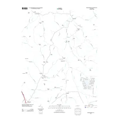 2013 Beechgrove2013 Print · USGSThe Highland Rim of Tennessee comes into focus here during the early twenty-first century, showing a landscape of deep hollows and named ridges. Genealogists and local historians can trace family-named landmarks and small hamlets like Fudgearound, Hoodoo, and Donnell Chapel.
 - 2013 Map of Hollow Springs, 2013 Print
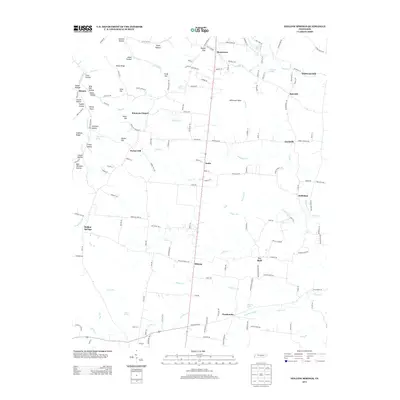 2013 Hollow Springs2013 Print · USGSThe rural communities of Cannon County are captured here in the early twenty-first century, showcasing a landscape of ridges and creek-fed hollows. Genealogists and local historians can trace family-named landmarks like Simmons Hollow, Simmons Chapel, and the historic site of Wildwood Mill.
 - 2013 Map of Readyville, 2013 Print
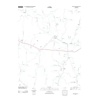 2013 Readyville2013 Print · USGSRutherford County at the start of the 2010s reveals a landscape where historic water-powered industry meets rural tradition. Researchers can pinpoint the Readyville Mill, trace the E Fork Stones River, and locate family-named sites like Gooch Ford and Bryson Hollow.
 - 2013 Map of Auburntown, 2013 Print
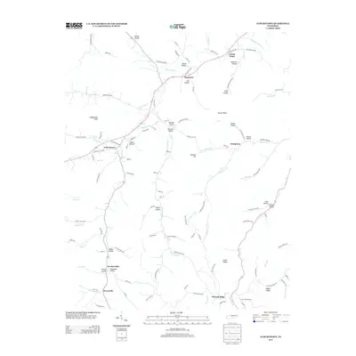 2013 Auburntown2013 Print · USGSAuburntown and its surrounding Tennessee hollows are detailed in this 2010s survey, showing the enduring rural layout of Cannon County. Researchers can trace family-named landmarks and small settlements like Prosperity, Cottage Home, and Brysonville.
 - 2013 Map of Centertown, 2013 Print
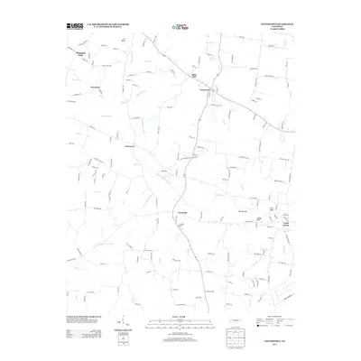 2013 Centertown2013 Print · USGSCentertown and its surrounding Tennessee countryside appear in this survey as a network of rural crossroads and river branches. Genealogists and local historians can trace family-named landmarks like Starkey Rock and the small settlements of Trousdale and Oak Grove.
 - 2016 Map of Hollow Springs, 2016 Print
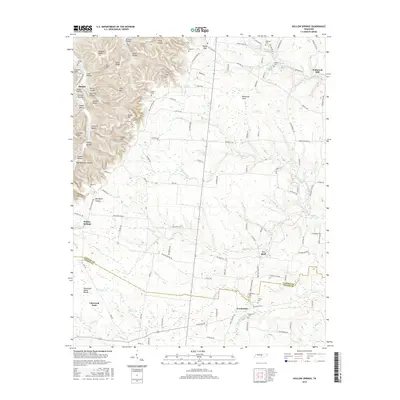 2016 Hollow Springs2016 Print · USGSThe borderlands of Cannon and Coffee Counties come into focus in the mid-2010s, showing a landscape of high ridges and rural crossroads. Genealogists and local historians can locate numerous burial sites and small settlements, including Hopewell Cem, Pocahontas, and Wildwood Mill.
 - 2016 Map of Readyville, 2016 Print
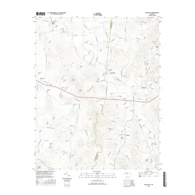 2016 Readyville2016 Print · USGSThe Rutherford and Cannon county line comes alive in the mid-2010s, centered on the river-fed valley of Readyville. Genealogists can trace family heritage through dozens of local burial grounds, including the Huddleston Cem, Arnett Cem, and Wards Grove Cem.
 - 2016 Map of Milton, 2016 Print
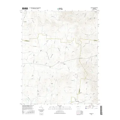 2016 Milton2016 Print · USGSSpanning the borders of Wilson and Rutherford Counties in the mid-2010s, this area retains a deep genealogical record across its rolling landscape. Researchers can trace family-named sites like Bradleys Creek Cem and settlements such as Milton or Cainsville.
 - 2016 Map of Woodbury, 2016 Print
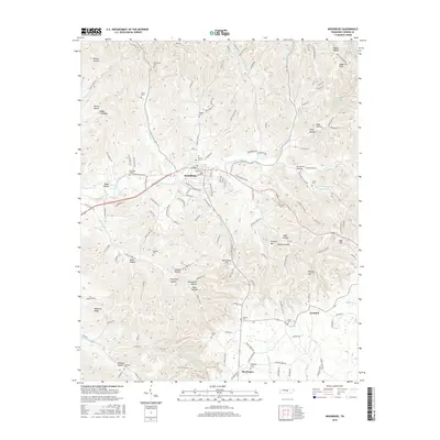 2016 Woodbury2016 Print · USGSCannon County in the mid-2010s reveals a landscape of deep hollows and high ridges centered on the town of Woodbury. Researchers can trace dozens of family burial sites like Sullivan Cem and Bragg Cem tucked away near Rush Cr and Hollis Cr.
 - 2016 Map of Centertown, 2016 Print
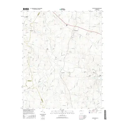 2016 Centertown2016 Print · USGSWarren County in the mid-2010s retains its rural character, shaped by the many branches of the Barren Fork. Researchers can trace family history through numerous community landmarks like Old Fellowship Cem, Grange Hall Cem, and Fountain Spring Cem.
 - 2016 Map of Short Mountain, 2016 Print
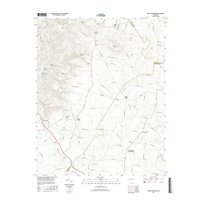 2016 Short Mountain2016 Print · USGSThe rural Tennessee highlands at the intersection of DeKalb, Cannon, and Warren counties are mapped here in detail. Genealogists and local historians can trace family lines through several burial grounds like Grizzlie-Gunter Cem and Preston Cem or locate old settlements at Bratchers Crossroads.
 - 2016 Map of Gassaway, 2016 Print
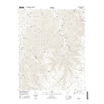 2016 Gassaway2016 Print · USGSDeKalb County and the eastern edge of Cannon County are shown here in the mid-2010s, centering on the communities of Gassaway and Liberty. Genealogists will find a wealth of family history across dozens of sites like the Zenith Cripps Cem, Beech Hill Cem, and Pisgah Baptist Church Cem.
Showing maps 1-25 of 45
Top cities of Cannon County
Frequently asked questions
- What are the different types of historical maps available for Cannon County?
- What is the oldest map of Cannon County?
- Where can I purchase historical maps of Cannon County for my home or office?
- Where can I download high-res historical maps of Cannon County?
- Are there historical topographic maps available for Cannon County?
- Is there historical aerial imagery available for Cannon County?
- Where are historical maps of Cannon County sourced from?