Old Maps of Cannon County, Tennessee for Hiking & Exploration
Hike through history with 71 historic maps of Cannon County. Explore old trails, ghost towns, and forgotten backroads — perfect for outdoor adventurers and local explorers.
- Rediscover forgotten places: Map out old mining camps, roads, and footpaths that no longer exist on modern maps.
- Layer with modern tools: Combine with LiDAR or satellite views to plan hikes through historical terrain.
- Made for exploration: Popular among hikers, overlanders, and local history lovers.
Use these maps to find adventure and explore the hidden past of Cannon County.
Cannon County, TN maps
(71)- 1893 Map of Mc Minnville
 1893 Mc Minnville1893 Print · USGSThe river-and-rail economy of Warren and DeKalb counties is captured here in the 1890s. Researchers can trace old ferry crossings like Pin Hook Ferry and local industry at Daly Mill or Magness Mills.
 - 1895 Map of Mc Minnville
 1895 Mc Minnville1895 Print · USGSWarren and DeKalb Counties in the 1890s are defined by the winding Collins River and the early rail lines connecting the Highland Rim. Genealogists can trace family footprints near Magness Mills, White Seminary, or old river crossings like Bailiff Old Ferry.5 unique versions available
 - 1908 Map of Woodbury
 1908 Woodbury1908 Print · USGSThe hill country of central Tennessee at the start of the century is documented here with incredible precision. Genealogists and historians can trace the foundations of communities like Woodbury and Readyville or locate landmarks like Hoovers Mill and Twelve Corners Church.2 unique versions available
 - 1913 Map of Hollow Springs
 1913 Hollow Springs1913 Print · USGSThe Tennessee highland plateau meets the Central Basin in the years before the Great War, showing a landscape of family-run stores and district schools. Genealogists can trace ancestral homes near Hollow Springs, Patmos Chapel, and the McMahan School district.4 unique versions available
 - 1936 Map of Beech Grove
 1936 Beech Grove1936 Print · USGSCoffee County rural life in the mid-1930s is detailed here along the winding Garrison Fork and Duck River. Researchers can trace family ties at the Barnes Store, Union Ch, and numerous burial grounds like the Arnold Cem.
 - 1936 Map of Petty Gap
 1936 Petty Gap1936 Print · USGSMiddle Tennessee’s highland terrain is captured during the mid-1930s expansion of the Tennessee Valley Authority. Local researchers can trace the specific watershed boundaries of the Tennessee Basin Divide and the course of Perry and Greek creeks.
 - 1942 Map of Statesville
 1942 Statesville1942 Print · USGSMid-century Tennessee comes alive in this survey of the river valleys and rail lines east of Nashville. Researchers can trace the path of the Tennessee Central Railway and locate historic points like Denny Seminary and Tuckers Crossroads.
 - 1943 Map of Mc Minnville, 1944 Print
 1943 Mc Minnville1944 Print · USGSMid-Tennessee is captured here during the mobilization of the early 1940s, showing the vast Camp Forrest Military Reservation and thriving rail towns. Trace the N C & ST L line through Mcminnville or locate smaller rural hubs like Morrison and Hickerson Station.
 - 1952 Map of Centertown, 1957 Print
 1952 Centertown1957 Print · USGSMid-century Hickman County is defined here by the winding Duck River and the industrial activity of the Nunnelly Mines. Researchers can trace the path of the Goodrich Railroad or locate local landmarks like Grinders Switch and Bell Branch Sch.2 unique versions available
 - 1953 Map of Chattanooga
 1953 Chattanooga1953 Print · USGSSoutheast Tennessee in the early fifties shows a landscape reshaped by river management and rail power. Trace the rail lines of the Southern Ry through riverside towns or locate the preserved grounds of the Chickamauga and Chattanooga National Military Park.
 - 1953 Map of Centertown, 1955 Print
 1953 Centertown1955 Print · USGSWarren and Cannon counties are captured in the early 1950s as rural agricultural life followed the N C & St L railroad and the Broadway of America. Researchers can locate numerous family-named landmarks, from the Poor House Cem to Grange Hall Chapel and Trousdale.4 unique versions available
 - 1953 Map of Beech Grove, 1958 Print
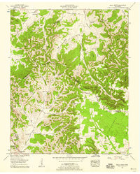 1953 Beech Grove1958 Print · USGSThe Tennessee hills north of Manchester come to life in the early 1950s, showing a landscape of family hollows and ridge-top cemeteries. Genealogists can trace deep roots through sites like Jernigan Hill Church, Gossburg Sch, and Mt Hebron Cem.2 unique versions available
 - 1953 Map of Hollow Springs, 1975 Print
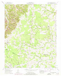 1953 Hollow Springs1975 Print · USGSIn the early fifties, this section of Middle Tennessee was a world of family-held hollows and upland ridges along the Tennessee Valley Divide. Genealogists can trace rural communities through landmarks like Wildwood Mill, the Hopewell Sch, and numerous family burial grounds including Milligan Cem.2 unique versions available
 - 1956 Map of Columbia, 1960 Print
 1956 Columbia1960 Print · USGSMiddle Tennessee in the mid-fifties presents a landscape of established river towns and critical rail hubs before the arrival of the modern interstate system. Researchers can trace the routes of the Louisville and Nashville railroad or locate historic landmarks like Stones River National Military Park and the Tennessee National Wildlife Refuge.6 unique versions available
 - 1957 Map of Chattanooga, 1966 Print
 1957 Chattanooga1966 Print · USGSEast Tennessee in the mid-1960s shows a landscape of massive hydroelectric reservoirs and emerging industrial sites like the Atomic Energy Commission (Oak Ridge Area). Trace the rail networks of the Southern Ry through Chattanooga or locate family-named ridges across the Cumberland Plateau.3 unique versions available
 - 1959 Map of Chattanooga
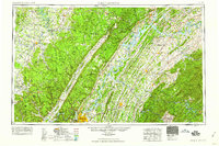 1959 Chattanooga1959 Print · USGSSoutheast Tennessee is shown here during a decade of industrial growth and hydroelectric development. Trace the regional rail networks of the Southern Ry and find landmark sites like Lookout Mountain, Fall Creek Falls State Park, and Chattanooga.
 - 1960 Map of Chattanooga
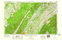 1960 Chattanooga1960 Print · USGSSoutheast Tennessee and the southern Appalachians are shown here at the height of the river-management era. You can trace the valley rail lines and locate Lookout Mountain and the expansive waters of Chickamauga Reservoir.
 - 1960 Map of Short Mountain, 1961 Print
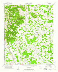 1960 Short Mountain1961 Print · USGSThe rural uplands of Middle Tennessee come alive in this mid-century survey of the Cannon County highlands. Genealogists and local researchers can trace family landmarks like Grizzly Gunter Cem, Bratchers Crossroads, and the remote Osment Chapel.2 unique versions available
 - 1960 Map of Gassaway, 1961 Print
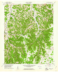 1960 Gassaway1961 Print · USGSDeKalb and Cannon counties were defined by deep hollows and high ridges during the mid-century. Genealogists can trace family landmarks and rural centers like Gassaway, Mt Pisgah Ch, and Beech Hill Cem among the numerous caves and springs.3 unique versions available
 - 1962 Map of Auburntown, 1963 Print
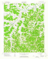 1962 Auburntown1963 Print · USGSThe rural hills of Middle Tennessee in the early 1960s are defined by winding waterways and deep family-named hollows. Genealogists and historians can trace old homesteads and local institutions through landmarks like Auburntown, Cottage Home, and the Odom Cem.4 unique versions available
 - 1962 Map of Readyville, 1963 Print
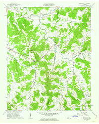 1962 Readyville1963 Print · USGSRutherford and Cannon Counties appear here in the early sixties, showing a landscape of river-valley farms and high knobs. Researchers can trace family sites near Readyville, locate the Drive-in Theater, and find rural landmarks like Antioch Ch and Science Hill Sch.3 unique versions available
 - 1962 Map of Milton, 1963 Print
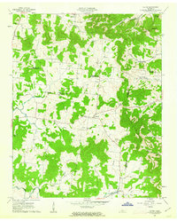 1962 Milton1963 Print · USGSRutherford and Wilson counties met in a landscape of small farms and country churches during the early sixties. Genealogists can trace family footprints through sites like Gloriana Ch, Gaines Cem, and the rural settlements of Milton and Cainsville.3 unique versions available
 - 1962 Map of Woodbury, 1964 Print
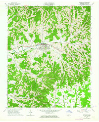 1962 Woodbury1964 Print · USGSWoodbury and the surrounding Cannon County hollows are captured here in the early sixties as rural life centered on the Stones River valley. Genealogists can trace family landmarks across the ridges, from the Riverside Cemetery to remote outposts like Sheybogan and Sunny Slope Ch.2 unique versions available
 - 1964 Map of Chattanooga
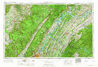 1964 Chattanooga1964 Print · USGSSoutheast Tennessee and the western Carolinas appear in the mid-sixties as a powerhouse of river-driven industry and mountain wilderness. Genealogists and historians can trace rail-town lineages along the Southern Ry or locate family landmarks near Watts Bar Lake and Tellico Plains.
 - 1981 Map of Mc Minnville
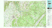 1981 Mc Minnville1981 Print · USGSThe Cumberland Plateau and the Sequatchie Valley meet in this early 1980s look at Warren and White Counties. Researchers can locate vanished rural landmarks like Hutchins College, the old rail stops of the Tennessee Central, and Mount Zion Cem.
Showing maps 1-25 of 71
Top cities of Cannon County
Frequently asked questions
- What are the different types of historical maps available for Cannon County?
- What is the oldest map of Cannon County?
- Where can I purchase historical maps of Cannon County for my home or office?
- Where can I download high-res historical maps of Cannon County?
- Are there historical topographic maps available for Cannon County?
- Is there historical aerial imagery available for Cannon County?
- Where are historical maps of Cannon County sourced from?