Old Maps of Woodbury, Tennessee for Academic Research
Study the evolution of Woodbury with 10 high-resolution historic maps. Whether you're teaching, researching, or modeling changes in land use, these maps provide essential visual documentation of urban, environmental, and geographic change.
- Analyze long-term change: Track patterns in development, transportation, and natural features.
- Ideal for environmental or urban studies: Support academic projects with primary historical map data.
- Use in the classroom or lab: Educators and researchers rely on these maps to bring historical context to life.
These maps are a powerful tool for teaching, research, and visualizing how Woodbury has changed over the decades.
Woodbury, TN maps
(10)- 1908 Map of Woodbury
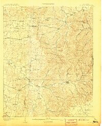 1908 Woodbury1908 Print · USGSThe hill country of central Tennessee at the start of the century is documented here with incredible precision. Genealogists and historians can trace the foundations of communities like Woodbury and Readyville or locate landmarks like Hoovers Mill and Twelve Corners Church.2 unique versions available
 - 1942 Map of Statesville
 1942 Statesville1942 Print · USGSMid-century Tennessee comes alive in this survey of the river valleys and rail lines east of Nashville. Researchers can trace the path of the Tennessee Central Railway and locate historic points like Denny Seminary and Tuckers Crossroads.
 - 1956 Map of Columbia, 1960 Print
 1956 Columbia1960 Print · USGSMiddle Tennessee in the mid-fifties presents a landscape of established river towns and critical rail hubs before the arrival of the modern interstate system. Researchers can trace the routes of the Louisville and Nashville railroad or locate historic landmarks like Stones River National Military Park and the Tennessee National Wildlife Refuge.6 unique versions available
 - 1962 Map of Woodbury, 1964 Print
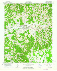 1962 Woodbury1964 Print · USGSWoodbury and the surrounding Cannon County hollows are captured here in the early sixties as rural life centered on the Stones River valley. Genealogists can trace family landmarks across the ridges, from the Riverside Cemetery to remote outposts like Sheybogan and Sunny Slope Ch.2 unique versions available
 - 1985 Map of Murfreesboro, 1986 Print
 1985 Murfreesboro1986 Print · USGSMiddle Tennessee in the mid-1980s shows a landscape of growing towns and deep-rooted rural outposts. Local researchers can trace old family lines near Bell Buckle, locate landmarks like Donnel Chapel, or explore the grounds of Henry Horton State Park and Hoovers Gap.
 - 2010 Map of Woodbury, 2010 Print
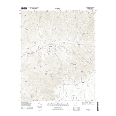
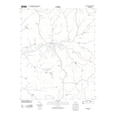 2010 Woodbury2010 Print · USGSCovers Woodbury, including Iconium, Sheybogan, and other nearby areas
 - 2013 Map of Woodbury, 2013 Print
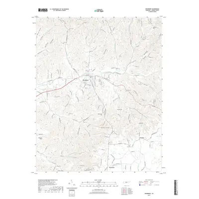
 2013 Woodbury2013 Print · USGSCovers Woodbury, including Iconium, Sheybogan, and other nearby areas
 - 2016 Map of Woodbury, 2016 Print
 2016 Woodbury2016 Print · USGSCovers Woodbury, including Iconium, Sheybogan, and other nearby areas
 - 2019 Map of Woodbury, 2019 Print
 2019 Woodbury2019 Print · USGSCovers Woodbury, including Iconium, Sheybogan, and other nearby areas
 - 2022 Map of Woodbury, 2022 Print
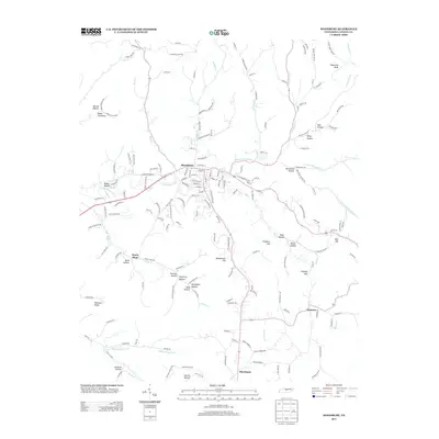
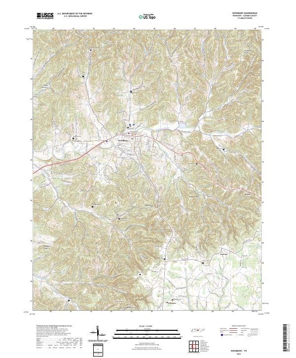 2022 Woodbury2022 Print · USGSWoodbury and the surrounding Cannon County hills are documented in this recent survey. Researchers can locate numerous family burial sites like Vance Cem or Dobbs Cemetery and trace landmarks from Iconium to the Cannon County Courthouse.
End of results
Showing maps 1-10 of 10
Top cities near Woodbury
- Smithville historical maps
- Morrison historical maps
- Liberty historical maps
- Dowelltown historical maps
- Centertown historical maps
- Auburntown historical maps
Frequently asked questions
- What are the different types of historical maps available for Woodbury?
- What is the oldest map of Woodbury?
- Where can I purchase historical maps of Woodbury for my home or office?
- Where can I download high-res historical maps of Woodbury?
- Are there historical topographic maps available for Woodbury?
- Is there historical aerial imagery available for Woodbury?
- Where are historical maps of Woodbury sourced from?