Old Maps of Bruceton, Tennessee for Academic Research
Study the evolution of Bruceton with 16 high-resolution historic maps. Whether you're teaching, researching, or modeling changes in land use, these maps provide essential visual documentation of urban, environmental, and geographic change.
- Analyze long-term change: Track patterns in development, transportation, and natural features.
- Ideal for environmental or urban studies: Support academic projects with primary historical map data.
- Use in the classroom or lab: Educators and researchers rely on these maps to bring historical context to life.
These maps are a powerful tool for teaching, research, and visualizing how Bruceton has changed over the decades.
Bruceton, TN maps
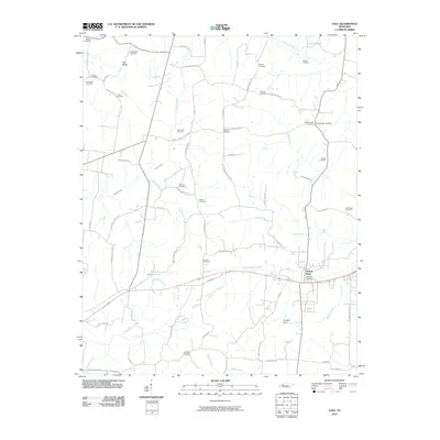
(16)- 1936 Map of Vale
 1936 Vale1936 Print · USGSCarroll County was a landscape of ridge-top schools and vital rail junctions in the mid-1930s. Genealogists and local historians can trace family locations near Hebron Ch, Crews Store, and the busy yards of the Nashville Chattanooga and St Louis railroad.
 - 1936 Map of Bruceton
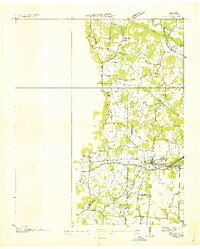
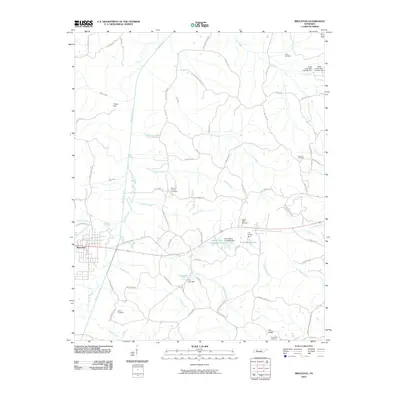
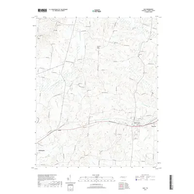
 1936 Bruceton1936 Print · USGSBruceton was a bustling rail junction in the 1930s where the Tennessee Central met the St. Louis line. Genealogists can locate family landmarks like Sawyers Mill Zach PO, Cedar Grove Ch, and schools like Garfield Sch.
 - 1950 Map of Bruceton, 1953 Print
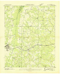
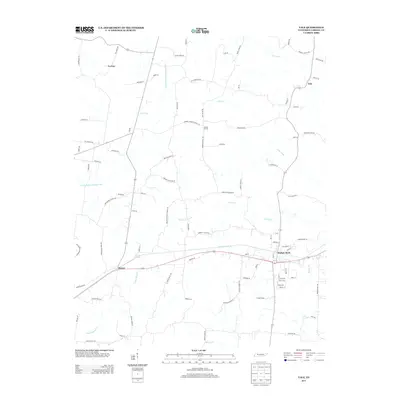
 1950 Bruceton1953 Print · USGSBruceton and the surrounding Tennessee lowlands appear here in the early 1950s, showing a landscape defined by the Nashville Chattanooga and St Louis railway. Local historians can trace old landmarks like Sawyers Mill, Sandy Point Sch, and the historical path of the Natchez Trace.3 unique versions available
 - 1950 Map of Vale, 1953 Print
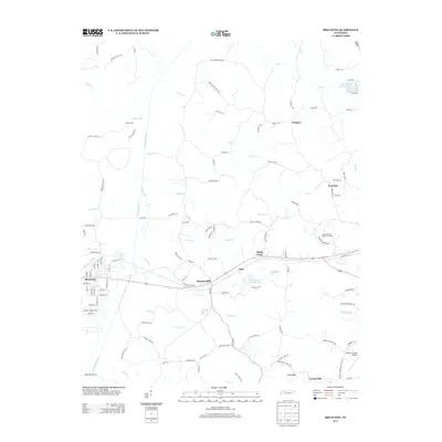
 1950 Vale1953 Print · USGSCarroll County was a hub of rail activity in the early 1950s, centered on the junction at Hollow Rock and Bruceton. Researchers can trace old family sites and schools like Thompson School or visit rural landmarks like Crews Store and the Bethlehem Church.3 unique versions available
 - 1956 Map of Dyersburg, 1960 Print
 1956 Dyersburg1960 Print · USGSThe Four Rivers region comes alive in the mid-fifties, capturing the intricate borderlands of Tennessee, Kentucky, and Missouri. Genealogists and historians can trace the rail-and-river networks connecting Dyersburg, Caruthersville, and the shoreline of Reelfoot Lake.4 unique versions available
 - 1986 Map of McKenzie
 1986 McKenzie1986 Print · USGSWest Tennessee in the mid-eighties was a landscape defined by its deep river forks and the massive waters of Kentucky Lake. Researchers can trace the rail lines of the Louisville & Nashville RR and find local landmarks from Skullbone to the Paris Landing State Park.3 unique versions available
 - 2010 Map of Vale, 2010 Print
 2010 Vale2010 Print · USGSCovers Bruceton, including Huntingdon, Hollow Rock, and other nearby areas
 - 2010 Map of Bruceton, 2010 Print
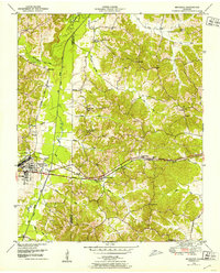
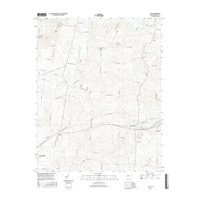
 2010 Bruceton2010 Print · USGSCovers Bruceton, including Camden, Sawyers Mill, and other nearby areas
 - 2013 Map of Vale, 2013 Print
 2013 Vale2013 Print · USGSCovers Bruceton, including Huntingdon, Hollow Rock, and other nearby areas
 - 2013 Map of Bruceton, 2013 Print
 2013 Bruceton2013 Print · USGSCovers Bruceton, including Camden, Sawyers Mill, and other nearby areas
 - 2016 Map of Vale, 2016 Print
 2016 Vale2016 Print · USGSCovers Bruceton, including Huntingdon, Hollow Rock, and other nearby areas
 - 2016 Map of Bruceton, 2016 Print
 2016 Bruceton2016 Print · USGSCovers Bruceton, including Camden, Sawyers Mill, and other nearby areas
 - 2019 Map of Vale, 2019 Print
 2019 Vale2019 Print · USGSCovers Bruceton, including Huntingdon, Hollow Rock, and other nearby areas
 - 2019 Map of Bruceton, 2019 Print
 2019 Bruceton2019 Print · USGSCovers Bruceton, including Camden, Sawyers Mill, and other nearby areas
 - 2022 Map of Vale, 2022 Print
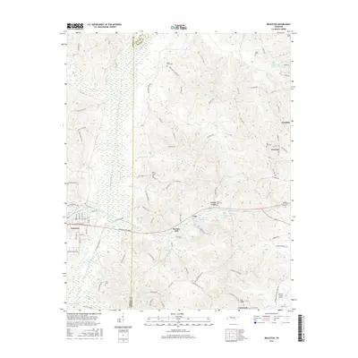
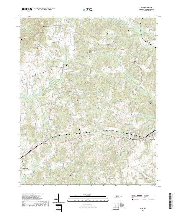 2022 Vale2022 Print · USGSCarroll County comes into focus in this modern era survey, centered on the railroad corridor between Hollow Rock and Bruceton. Genealogists can trace dozens of family burial sites including Old Union Cem, Marlborough Cem, and Nesbitt Cem.
 - 2022 Map of Bruceton, 2022 Print
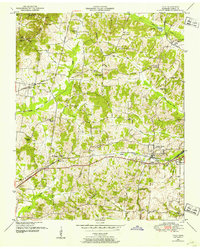
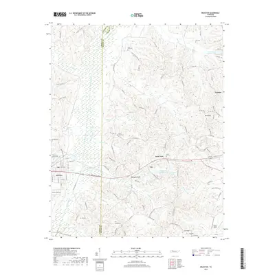
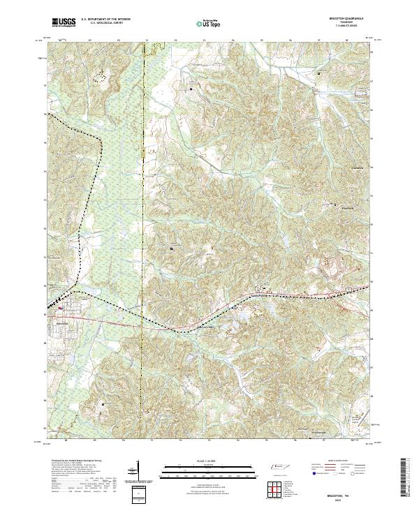 2022 Bruceton2022 Print · USGSWest Tennessee hill country and the Big Sandy River valley are shown in detail as they appeared in 2022. Researchers can trace family history at Parks Cem and Mount Carmel Cem or locate rural centers like Sawyers Mill.
End of results
Showing maps 1-16 of 16
Top cities near Bruceton
- McKenzie historical maps
- Huntingdon historical maps
- Camden historical maps
- Hollow Rock historical maps
- Henry historical maps
- Big Sandy historical maps
See more
Frequently asked questions
- What are the different types of historical maps available for Bruceton?
- What is the oldest map of Bruceton?
- Where can I purchase historical maps of Bruceton for my home or office?
- Where can I download high-res historical maps of Bruceton?
- Are there historical topographic maps available for Bruceton?
- Is there historical aerial imagery available for Bruceton?
- Where are historical maps of Bruceton sourced from?