Old Maps of Clarksburg, Tennessee for Metal Detecting
Plan your next treasure hunt with 17 historic maps of Clarksburg. Find old homesites, ghost towns, trails, and gathering spots that may be lost to time — perfect for identifying promising metal detecting locations.
- Locate forgotten sites: Uncover places like long-lost settlements, abandoned rail lines, or gathering spots.
- Plan better hunts: Use map overlays combined with LiDAR or satellite views to narrow in on historically rich areas.
- Made for detectorists: Thousands of hobbyists use these maps to discover relics, coins, and hidden history.
Use these historic maps to boost your research and find new opportunities beneath the surface of Clarksburg.
Clarksburg, TN maps
(17)- 1936 Map of Clarksburg
 1936 Clarksburg1936 Print · USGSWest Tennessee’s rural landscape comes alive in the mid-1930s, showing the early road networks and community hubs of Carroll and Henderson Counties. Genealogists can locate family-named landmarks like Hart Cem and schools including Pritchard Sch and Clarksburg Sch.
 - 1936 Map of Center Ridge
 1936 Center Ridge1936 Print · USGSCarroll County was undergoing significant hydrological changes in the mid-1930s as the Tennessee Valley Authority began its work. Genealogists and local historians can trace rural family landmarks like Sellers Cem, Johnson Cem, and the Poplar Springs Sch.
 - 1950 Map of Palmer Shelter, 1953 Print
 1950 Palmer Shelter1953 Print · USGSCarroll County was a patchwork of family farms and small rural hubs during the early fifties. Trace local history through community anchors like Liberty All Church, Hillard Sch, and the numerous family cemeteries scattered near Palmer Shelter.3 unique versions available
 - 1950 Map of Clarksburg, 1953 Print
 1950 Clarksburg1953 Print · USGSWest Tennessee rural life is documented here at mid-century, where the Tennessee Valley Divide separates the river systems of Carroll and Henderson Counties. Researchers can trace family history through numerous landmarks like Parker Crossroads, Hickory Plains Church, and Parkers Chapel School.2 unique versions available
 - 1956 Map of Blytheville, 1964 Print
 1956 Blytheville1964 Print · USGSWest Tennessee and the Arkansas Delta come alive in this mid-century survey of the river-and-rail corridor connecting Memphis to Jackson. Genealogists and historians can trace the rail lines of the Louisville and Nashville RR and locate landmarks like Western State Hospital or Fort Pillow State Prison Farm.2 unique versions available
 - 1959 Map of Blytheville
 1959 Blytheville1959 Print · USGSWest Tennessee and Northeast Arkansas meet along the river in the late fifties, during a period of steady industrial and agricultural growth. Genealogists can trace the rail corridors of the Illinois Central through Jackson or explore landmarks like Shiloh National Military Park and Fort Pillow State Prison.
 - 1986 Map of Milan
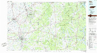 1986 Milan1986 Print · USGSWest Tennessee in the mid-eighties shows a landscape defined by industrial military sites and expansive state forests. Trace the rail lines of the Seaboard System RR, locate the Milan Arsenal, or explore the protected lands of Natchez Trace State Forest.2 unique versions available
 - 2010 Map of Clarksburg, 2010 Print
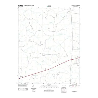 2010 Clarksburg2010 Print · USGSClarksburg and the surrounding Carroll County countryside are mapped here in the early twenty-first century. Genealogists can trace numerous family burial sites, including Palestine Cemetery, Bible Hill, and Mount Ararat Spring.
 - 2010 Map of Palmer Shelter, 2010 Print
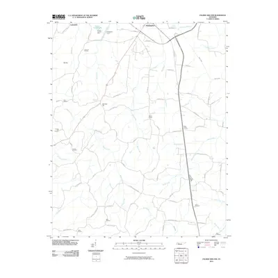 2010 Palmer Shelter2010 Print · USGSThis Tennessee landscape south of Huntingdon reveals a rural network of family farms and creek bottoms as they appeared in 2010. Genealogists can trace deep local roots through landmarks like Liberty All Cemetery, Ernest Vickers Lake, and the small settlement at Palmer Shelter.
 - 2013 Map of Palmer Shelter, 2013 Print
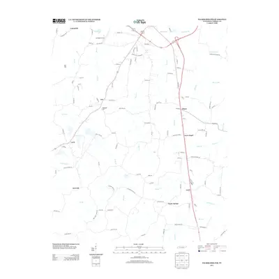 2013 Palmer Shelter2013 Print · USGSCarroll County, Tennessee, appears in great detail here just after the turn of the millennium. Genealogists and local historians can trace the roads connecting Poplar Springs, Davis Chapel, and the community around Tate School Rd.
 - 2013 Map of Clarksburg, 2013 Print
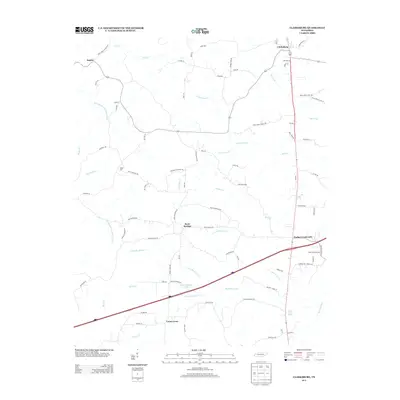 2013 Clarksburg2013 Print · USGSCarroll County at the start of the 2010s shows a landscape of traditional rural communities alongside the modern Interstate 40 corridor. Local historians can trace family roots and old routes near Clarksburg, Parker Crossroads, and Hart Cemetery Rd.
 - 2016 Map of Palmer Shelter, 2016 Print
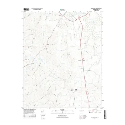 2016 Palmer Shelter2016 Print · USGSCarroll County, Tennessee, is captured here in the mid-2010s as it maintains its traditional rural character south of the county seat. Researchers can locate numerous burial sites and small crossroads like Davis Chapel Cem, Sellers Cem, and the settlement of Leach.
 - 2016 Map of Clarksburg, 2016 Print
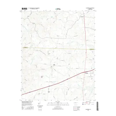 2016 Clarksburg2016 Print · USGSWest Tennessee in the mid-2010s shows a landscape of small crossroads settlements and family landholdings divided by the Tennessee Valley Divide. Genealogists and local historians can locate numerous small cemeteries like Palestine Cem and Coffman Cem tucked among the headwaters of the Rutherford Fork Obion River.
 - 2019 Map of Palmer Shelter, 2019 Print
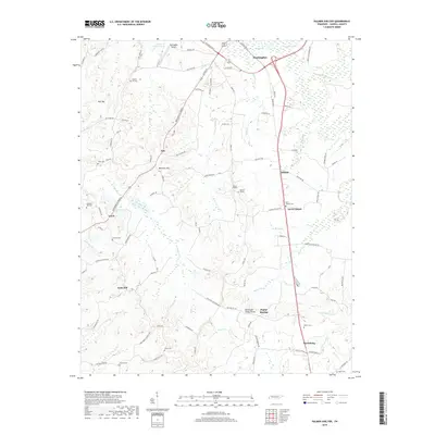 2019 Palmer Shelter2019 Print · USGSCarroll County's rural character is preserved in this recent survey of the lands between Huntingdon and Clarksburg. Genealogists and historians can trace many local burial grounds such as Davis Chapel Cem and Black Cem along the Tennessee Valley Divide.
 - 2019 Map of Clarksburg, 2019 Print
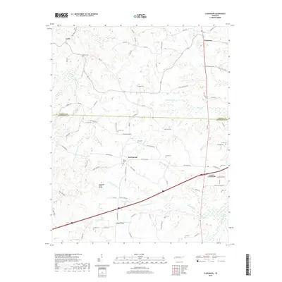 2019 Clarksburg2019 Print · USGSThe West Tennessee borderlands between Carroll and Henderson counties are revealed in this modern survey. Genealogists can trace family roots through numerous sites like Palestine Cem and Rock Springs Cem or locate the historic Tennessee Valley Divide.
 - 2022 Map of Palmer Shelter, 2022 Print
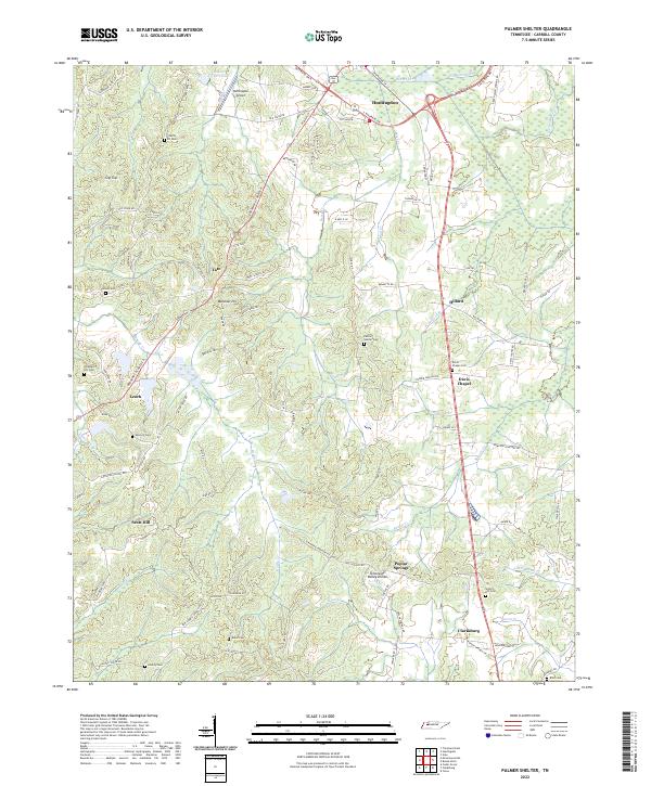 2022 Palmer Shelter2022 Print · USGSCarroll County settlements and rural cemeteries are mapped here during a period of modern growth balanced with deep-rooted local history. Genealogists can locate family landmarks like Giles Cem, Davis Chapel Cem, and Liberty Ch among the many winding branches of Beaver Cr.
 - 2022 Map of Clarksburg, 2022 Print
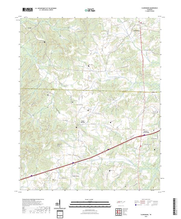 2022 Clarksburg2022 Print · USGSThe Tennessee and Mississippi drainage basins meet here along the Tennessee Valley Divide in Carroll and Henderson counties. Genealogists can trace family heritage through numerous burial sites like Palestine Cem, Rock Springs Cem, and the quiet crossroads at Jumbo.
End of results
Showing maps 1-17 of 17
Top cities near Clarksburg
- Lexington historical maps
- Huntingdon historical maps
- Bruceton historical maps
- Hollow Rock historical maps
- Trezevant historical maps
- McLemoresville historical maps
Frequently asked questions
- What are the different types of historical maps available for Clarksburg?
- What is the oldest map of Clarksburg?
- Where can I purchase historical maps of Clarksburg for my home or office?
- Where can I download high-res historical maps of Clarksburg?
- Are there historical topographic maps available for Clarksburg?
- Is there historical aerial imagery available for Clarksburg?
- Where are historical maps of Clarksburg sourced from?