Old Maps of Concord, Tennessee for Hiking & Exploration
Hike through history with 10 historic maps of Concord. Explore old trails, ghost towns, and forgotten backroads — perfect for outdoor adventurers and local explorers.
- Rediscover forgotten places: Map out old mining camps, roads, and footpaths that no longer exist on modern maps.
- Layer with modern tools: Combine with LiDAR or satellite views to plan hikes through historical terrain.
- Made for exploration: Popular among hikers, overlanders, and local history lovers.
Use these maps to find adventure and explore the hidden past of Concord.
Concord, TN maps
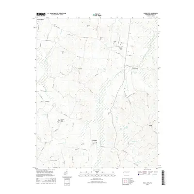
(10)- 1936 Map of Buena Vista
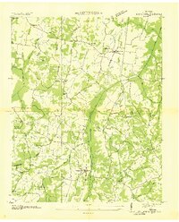 1936 Buena Vista1936 Print · USGSCarroll County communities thrived along the St Louis and Chattanooga Nashville Railroad in the mid-1930s. Researchers can locate numerous family burial sites and rural institutions like Spellings Cem, Mc Callie Cem, and Smyrna Sch.2 unique versions available
 - 1950 Map of Buena Vista, 1953 Print
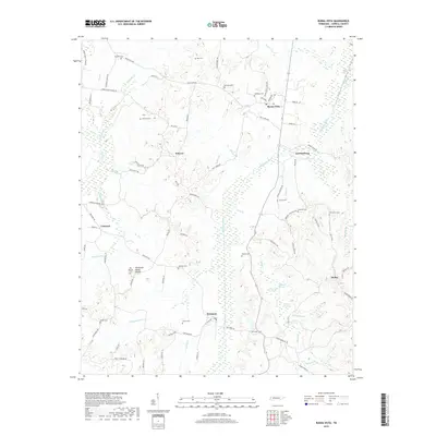
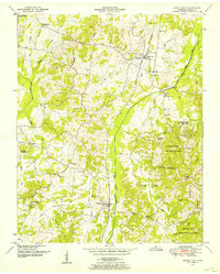 1950 Buena Vista1953 Print · USGSCarroll County was a landscape of small rail-stops and country parishes during the early fifties. Researchers can trace family ties through numerous rural landmarks like Williams Chapel, the Westport Sch, and Smyrna along the Nashville Chattanooga and St Louis line.3 unique versions available
 - 1956 Map of Blytheville, 1964 Print
 1956 Blytheville1964 Print · USGSWest Tennessee and the Arkansas Delta come alive in this mid-century survey of the river-and-rail corridor connecting Memphis to Jackson. Genealogists and historians can trace the rail lines of the Louisville and Nashville RR and locate landmarks like Western State Hospital or Fort Pillow State Prison Farm.2 unique versions available
 - 1959 Map of Blytheville
 1959 Blytheville1959 Print · USGSWest Tennessee and Northeast Arkansas meet along the river in the late fifties, during a period of steady industrial and agricultural growth. Genealogists can trace the rail corridors of the Illinois Central through Jackson or explore landmarks like Shiloh National Military Park and Fort Pillow State Prison.
 - 1986 Map of Milan
 1986 Milan1986 Print · USGSWest Tennessee in the mid-eighties shows a landscape defined by industrial military sites and expansive state forests. Trace the rail lines of the Seaboard System RR, locate the Milan Arsenal, or explore the protected lands of Natchez Trace State Forest.2 unique versions available
 - 2010 Map of Buena Vista, 2010 Print
 2010 Buena Vista2010 Print · USGSCovers Concord, including Huntingdon, Cross Roads, and other nearby areas
 - 2013 Map of Buena Vista, 2013 Print
 2013 Buena Vista2013 Print · USGSCovers Concord, including Huntingdon, Cross Roads, and other nearby areas
 - 2016 Map of Buena Vista, 2016 Print
 2016 Buena Vista2016 Print · USGSCovers Concord, including Huntingdon, Cross Roads, and other nearby areas
 - 2019 Map of Buena Vista, 2019 Print
 2019 Buena Vista2019 Print · USGSCovers Concord, including Huntingdon, Cross Roads, and other nearby areas
 - 2022 Map of Buena Vista, 2022 Print
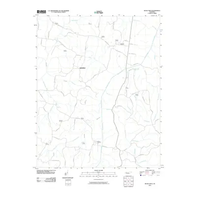
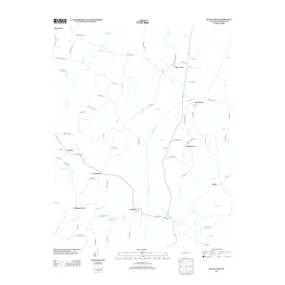
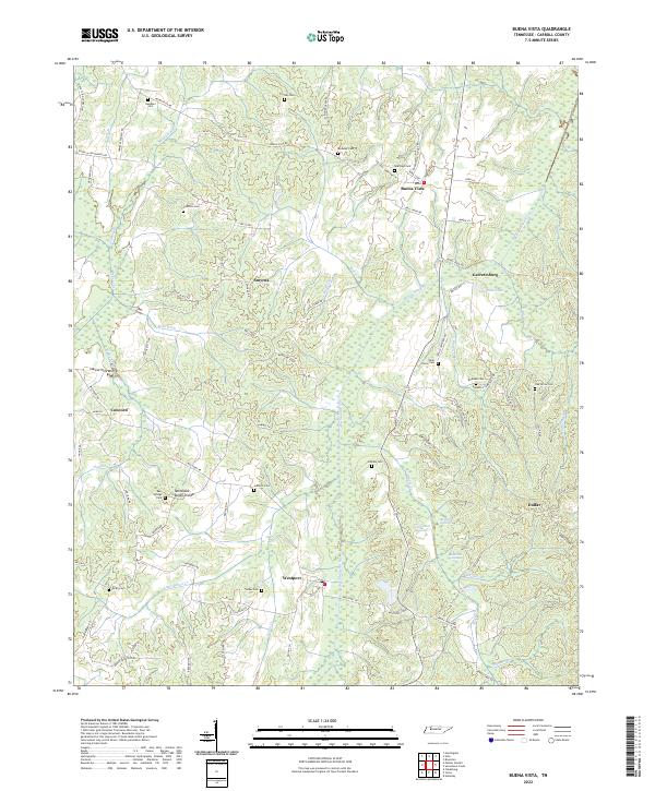 2022 Buena Vista2022 Print · USGSCarroll County in the early twenty-first century remains a landscape of small river-valley settlements and rural cemeteries. Genealogists can trace family names at Ozier Taylor Cem and Cawthon Cem, or explore the old road networks around Westport and Smyrna.
End of results
Showing maps 1-10 of 10
Top cities near Concord
- Lexington historical maps
- McKenzie historical maps
- Huntingdon historical maps
- Bruceton historical maps
- Hollow Rock historical maps
- Clarksburg historical maps
See more
Frequently asked questions
- What are the different types of historical maps available for Concord?
- What is the oldest map of Concord?
- Where can I purchase historical maps of Concord for my home or office?
- Where can I download high-res historical maps of Concord?
- Are there historical topographic maps available for Concord?
- Is there historical aerial imagery available for Concord?
- Where are historical maps of Concord sourced from?