Old Maps of Ephesus, Tennessee for Genealogy
Trace your family roots with 9 historic maps of Ephesus. These high-res maps reveal old neighborhoods, homesites, landmarks, and streets — helping you uncover where your ancestors lived and how the area evolved over time.
- Explore historic neighborhoods: Identify where your relatives may have lived in the 1800s or 1900s.
- Compare maps over time: Trace the changes in streets, buildings, and landmarks for multi-generational research.
- Perfect for genealogy & ancestry research: Used by family historians and researchers to map out lineage and migration.
These maps are an incredible resource for exploring your personal connection to Ephesus's past.
Ephesus, TN maps
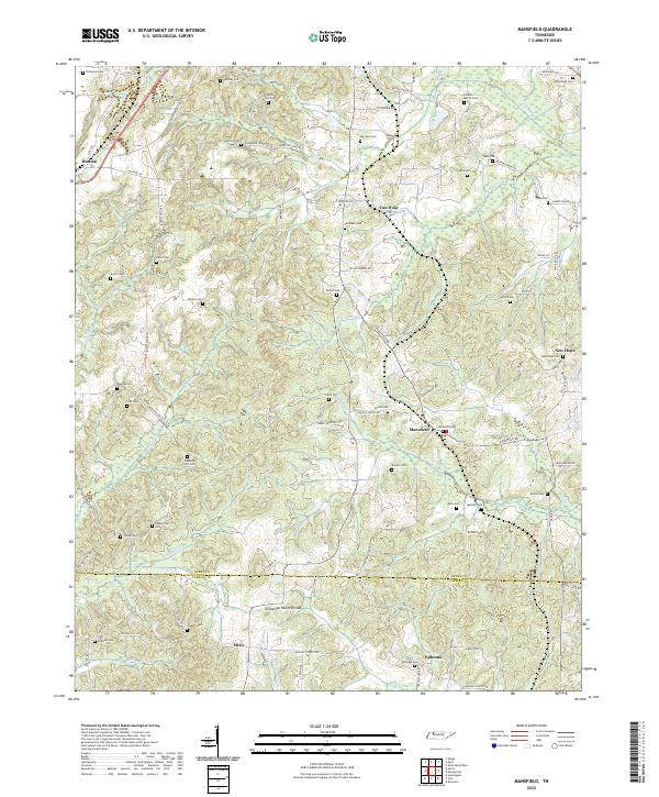
(9)- 1936 Map of Mansfield
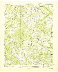 1936 Mansfield1936 Print · USGSWest Tennessee’s rural landscape is captured here in the mid-1930s, documenting a network of rail-dependent settlements and family homesteads. Genealogists can trace local roots through numerous sites like Walton Cem, Shiloh Ch, and the Mansfield Sch.
 - 1950 Map of Mansfield, 1953 Print
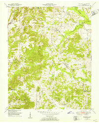 1950 Mansfield1953 Print · USGSHenry and Carroll counties are captured here in the early fifties, showcasing a rural landscape defined by the Tennessee Valley Divide. Researchers can trace old family sites like Dumpling Hill Cem and settlements at Mansfield and Routon.3 unique versions available
 - 1956 Map of Dyersburg, 1960 Print
 1956 Dyersburg1960 Print · USGSThe Four Rivers region comes alive in the mid-fifties, capturing the intricate borderlands of Tennessee, Kentucky, and Missouri. Genealogists and historians can trace the rail-and-river networks connecting Dyersburg, Caruthersville, and the shoreline of Reelfoot Lake.4 unique versions available
 - 1986 Map of McKenzie
 1986 McKenzie1986 Print · USGSWest Tennessee in the mid-eighties was a landscape defined by its deep river forks and the massive waters of Kentucky Lake. Researchers can trace the rail lines of the Louisville & Nashville RR and find local landmarks from Skullbone to the Paris Landing State Park.3 unique versions available
 - 2010 Map of Mansfield, 2010 Print
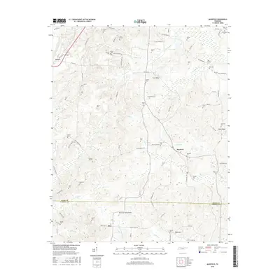
 2010 Mansfield2010 Print · USGSCovers Ephesus, including Routon, New Hope, and other nearby areas
 - 2013 Map of Mansfield, 2013 Print
 2013 Mansfield2013 Print · USGSCovers Ephesus, including Routon, New Hope, and other nearby areas
 - 2016 Map of Mansfield, 2016 Print
 2016 Mansfield2016 Print · USGSCovers Ephesus, including Routon, New Hope, and other nearby areas
 - 2019 Map of Mansfield, 2019 Print
 2019 Mansfield2019 Print · USGSCovers Ephesus, including Routon, New Hope, and other nearby areas
 - 2022 Map of Mansfield, 2022 Print
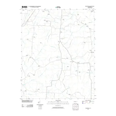
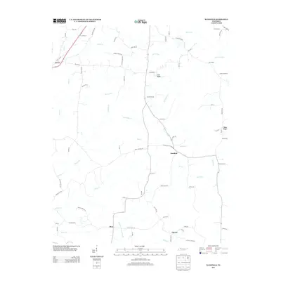
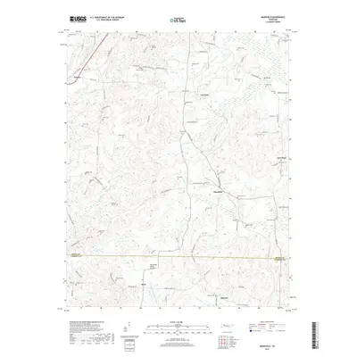
 2022 Mansfield2022 Print · USGSThe rural landscape of southern Henry County remains centered on historic hamlets and family landholdings. Genealogists can trace decades of local lineage through dozens of burial sites, including Claxton-Myrick Cem, Haglerville Cem, and Shiloh Cem.
End of results
Showing maps 1-9 of 9
Top cities near Ephesus
- Paris historical maps
- McKenzie historical maps
- Huntingdon historical maps
- Camden historical maps
- Bruceton historical maps
- Hollow Rock historical maps
See more
Frequently asked questions
- What are the different types of historical maps available for Ephesus?
- What is the oldest map of Ephesus?
- Where can I purchase historical maps of Ephesus for my home or office?
- Where can I download high-res historical maps of Ephesus?
- Are there historical topographic maps available for Ephesus?
- Is there historical aerial imagery available for Ephesus?
- Where are historical maps of Ephesus sourced from?