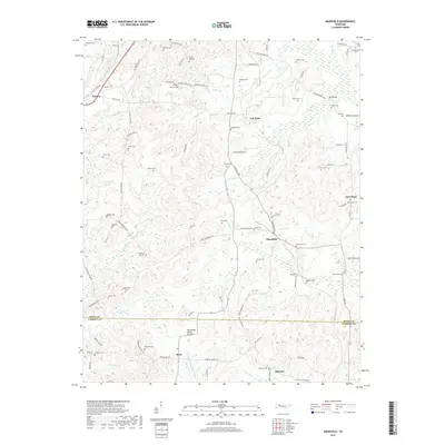
2019 Map of Mansfield
USGS Topo · Published 2019About this map
The Tennessee Valley Divide snakes through this landscape on the border of Henry and Carroll counties, marking a significant hydrologic boundary in West Tennessee. Small rural communities like Mansfield, Routon, and Ephesus are the primary hubs, connected by a network of established local routes including Van Dyke Rd and Henry Mansfield Rd. This territory is notably dense with small family and community cemeteries, suggesting generations of localized settlement.
Find a feature on this map
102 named features on this map. Tap any name to fly to it.
Don’t see what you’re looking for? This feature index may not catch every label — zoom into the map to look around manually.
Map Details
Editions of this 2019 Mansfield Map
This is the sole edition of this map. No revisions or reprints were ever made.
Other maps of this area

1936 · Mansfield
USGS Topo · 1:24,000

1936 · Vale
USGS Topo · 1:24,000

1936 · Bruceton
USGS Topo · 1:24,000

1936 · Manleyville
USGS Topo · 1:24,000

1936 · Paris
USGS Topo · 1:24,000

1936 · Springville
USGS Topo · 1:24,000

1938 · Springville
USGS Topo · 1:24,000

1940 · Manleyville
USGS Topo · 1:24,000

1941 · Manleyville
USGS Topo · 1:24,000

1950 · Osage
USGS Topo · 1:24,000