Old Maps of Lavinia, Tennessee for Hiking & Exploration
Hike through history with 10 historic maps of Lavinia. Explore old trails, ghost towns, and forgotten backroads — perfect for outdoor adventurers and local explorers.
- Rediscover forgotten places: Map out old mining camps, roads, and footpaths that no longer exist on modern maps.
- Layer with modern tools: Combine with LiDAR or satellite views to plan hikes through historical terrain.
- Made for exploration: Popular among hikers, overlanders, and local history lovers.
Use these maps to find adventure and explore the hidden past of Lavinia.
Lavinia, TN maps
(10)- 1956 Map of Blytheville, 1964 Print
 1956 Blytheville1964 Print · USGSWest Tennessee and the Arkansas Delta come alive in this mid-century survey of the river-and-rail corridor connecting Memphis to Jackson. Genealogists and historians can trace the rail lines of the Louisville and Nashville RR and locate landmarks like Western State Hospital or Fort Pillow State Prison Farm.2 unique versions available
 - 1959 Map of Blytheville
 1959 Blytheville1959 Print · USGSWest Tennessee and Northeast Arkansas meet along the river in the late fifties, during a period of steady industrial and agricultural growth. Genealogists can trace the rail corridors of the Illinois Central through Jackson or explore landmarks like Shiloh National Military Park and Fort Pillow State Prison.
 - 1966 Map of Spring Creek, 1967 Print
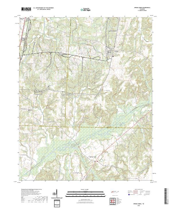
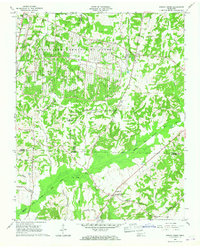 1966 Spring Creek1967 Print · USGSWestern Tennessee at the height of the Cold War is captured here, showing the intersection of rural agriculture and military industry. Trace the massive footprint of the Milan Army Ammunition Plant alongside local landmarks like Latham Chapel and the Illinois Central RR.3 unique versions available
 - 1977 Map of Atwood
 1977 Atwood1977 Print · USGSCarroll County and its neighbors are captured in the late seventies, showing a landscape defined by small-town life and military industry. Researchers can trace local roots through numerous country landmarks like Latham Chapel, Atwood, and the Full Gospel Mission.
 - 1986 Map of Milan
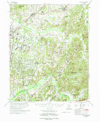
 1986 Milan1986 Print · USGSWest Tennessee in the mid-eighties shows a landscape defined by industrial military sites and expansive state forests. Trace the rail lines of the Seaboard System RR, locate the Milan Arsenal, or explore the protected lands of Natchez Trace State Forest.2 unique versions available
 - 2010 Map of Spring Creek, 2010 Print
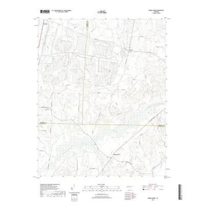
 2010 Spring Creek2010 Print · USGSCovers Lavinia, including Spring Creek, Milan, and other nearby areas
 - 2013 Map of Spring Creek, 2013 Print
 2013 Spring Creek2013 Print · USGSCovers Lavinia, including Spring Creek, Milan, and other nearby areas
 - 2016 Map of Spring Creek, 2016 Print
 2016 Spring Creek2016 Print · USGSCovers Lavinia, including Spring Creek, Milan, and other nearby areas
 - 2019 Map of Spring Creek, 2019 Print
 2019 Spring Creek2019 Print · USGSCovers Lavinia, including Spring Creek, Milan, and other nearby areas
 - 2022 Map of Spring Creek, 2022 Print
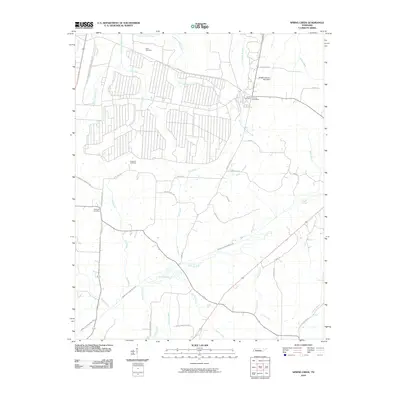
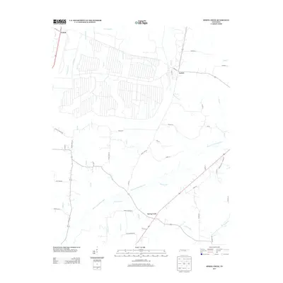
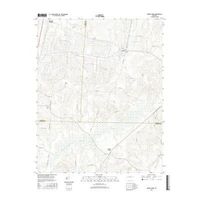
 2022 Spring Creek2022 Print · USGSThe West Tennessee countryside at the meeting of Gibson, Carroll, and Madison Counties is shown here in the 2020s. Genealogists can trace family landmarks like Elam Cem and rural hubs such as Graball and Lavinia.
End of results
Showing maps 1-10 of 10
Top cities near Lavinia
- Jackson historical maps
- Humboldt historical maps
- Lexington historical maps
- Huntingdon historical maps
- Medina historical maps
- Three Way historical maps
See more
Frequently asked questions
- What are the different types of historical maps available for Lavinia?
- What is the oldest map of Lavinia?
- Where can I purchase historical maps of Lavinia for my home or office?
- Where can I download high-res historical maps of Lavinia?
- Are there historical topographic maps available for Lavinia?
- Is there historical aerial imagery available for Lavinia?
- Where are historical maps of Lavinia sourced from?