Old Maps of Kingston Springs, Tennessee for Genealogy
Trace your family roots with 17 historic maps of Kingston Springs. These high-res maps reveal old neighborhoods, homesites, landmarks, and streets — helping you uncover where your ancestors lived and how the area evolved over time.
- Explore historic neighborhoods: Identify where your relatives may have lived in the 1800s or 1900s.
- Compare maps over time: Trace the changes in streets, buildings, and landmarks for multi-generational research.
- Perfect for genealogy & ancestry research: Used by family historians and researchers to map out lineage and migration.
These maps are an incredible resource for exploring your personal connection to Kingston Springs's past.
Kingston Springs, TN maps
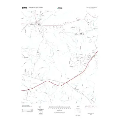
(17)- 1930 Map of White Bluff, 1953 Print
 1930 White Bluff1953 Print · USGSMiddle Tennessee in the 1930s is defined by the serpentine bends of the Harpeth River and the steam-era dominance of the Nashville Chattanooga and St Louis RR. Genealogists and historians can locate vanished country schools like Opossum Sch and trace early road networks including the Dickson Turnpike.
 - 1933 Map of White Bluff
 1933 White Bluff1933 Print · USGSThe Tennessee river country in the early thirties is defined here by the winding loops of the Harpeth River and the rail line through White Bluff. Genealogists and researchers can trace rural life through landmarks like Mound Bottom, Frog Pond Ch, and Opossum Sch.
 - 1956 Map of Nashville, 1971 Print
 1956 Nashville1971 Print · USGSThe Tennessee-Kentucky borderlands come into focus in the mid-1960s as major reservoir projects transformed the Cumberland and Tennessee river valleys. Researchers can trace the rail networks of the Louisville and Nashville and visit sites like Fort Campbell and Fort Donelson National Military Park.2 unique versions available
 - 1959 Map of Nashville
 1959 Nashville1959 Print · USGSMiddle Tennessee and Southern Kentucky come into focus during the late fifties, showing the region's transition into a modern transportation and military hub. Researchers can trace the sprawling Fort Campbell Military Reservation or locate historic rail stops along the Tennessee Central Ry and Illinois Central RR.
 - 1966 Map of White Bluff, 1967 Print
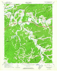
 1966 White Bluff1967 Print · USGSThe wooded ridges of Dickson and Cheatham Counties are captured here in the mid-sixties as Interstate development began to reach the area. Genealogists can locate family landmarks like Pinkerton Cem, James Sch, and the rail stops at Craggie Hope and White Bluff.3 unique versions available
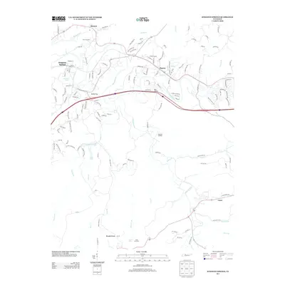
 - 1966 Map of Kingston Springs, 1967 Print
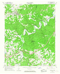
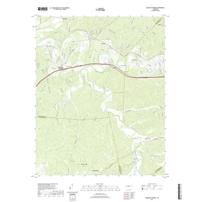
 1966 Kingston Springs1967 Print · USGSIn the mid-sixties, the Harpeth River valley near Kingston Springs maintained its rural character and winding rail lines. Genealogists and local historians can locate several country churches like Wards Chapel and Lone Oak Ch, or trace the path of the Louisville and Nashville railroad.4 unique versions available
 - 1985 Map of Dickson
 1985 Dickson1985 Print · USGSMid-Tennessee in the mid-1980s was defined by the intersection of the Cumberland and Tennessee rivers and a massive network of wildlife refuges. Researchers can trace the Seaboard System rail lines connecting Waverly, Dickson, and White Bluff, or locate old landmarks near Fort Donelson National Military Park.
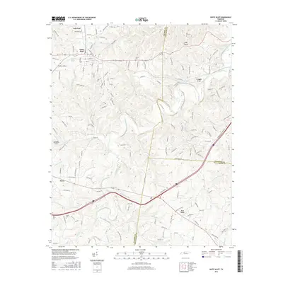
 - 2010 Map of White Bluff, 2010 Print
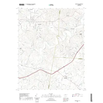
 2010 White Bluff2010 Print · USGSCovers Kingston Springs, including Fairview, White Bluff, and other nearby areas
 - 2010 Map of Kingston Springs, 2010 Print
 2010 Kingston Springs2010 Print · USGSCovers Kingston Springs, including Nashville, Fairview, and other nearby areas
 - 2013 Map of White Bluff, 2013 Print
 2013 White Bluff2013 Print · USGSCovers Kingston Springs, including Fairview, White Bluff, and other nearby areas
 - 2013 Map of Kingston Springs, 2013 Print
 2013 Kingston Springs2013 Print · USGSCovers Kingston Springs, including Nashville, Fairview, and other nearby areas
 - 2016 Map of White Bluff, 2016 Print
 2016 White Bluff2016 Print · USGSCovers Kingston Springs, including Fairview, White Bluff, and other nearby areas
 - 2016 Map of Kingston Springs, 2016 Print
 2016 Kingston Springs2016 Print · USGSCovers Kingston Springs, including Nashville, Fairview, and other nearby areas
 - 2019 Map of White Bluff, 2019 Print
 2019 White Bluff2019 Print · USGSCovers Kingston Springs, including Fairview, White Bluff, and other nearby areas
 - 2019 Map of Kingston Springs, 2019 Print
 2019 Kingston Springs2019 Print · USGSCovers Kingston Springs, including Nashville, Fairview, and other nearby areas
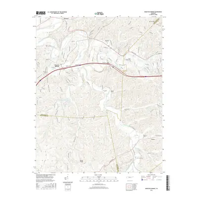
 - 2022 Map of Kingston Springs, 2022 Print
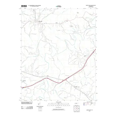
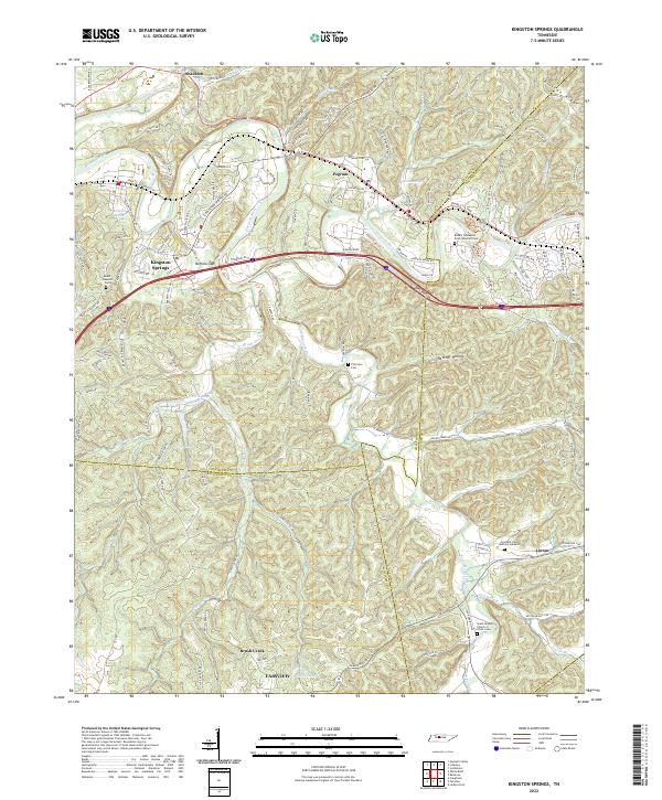 2022 Kingston Springs2022 Print · USGSThe Harpeth River valley and its surrounding hollows are captured here as they appeared in the early 2020s. Researchers can locate family landmarks like Thornton Cem, trace old routes like Old Harding Pike, or explore the settlement patterns of Kingston Springs and Linton.
 - 2022 Map of White Bluff, 2022 Print
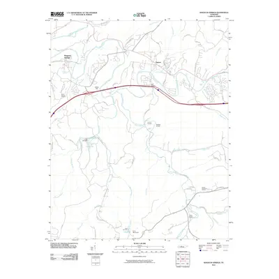
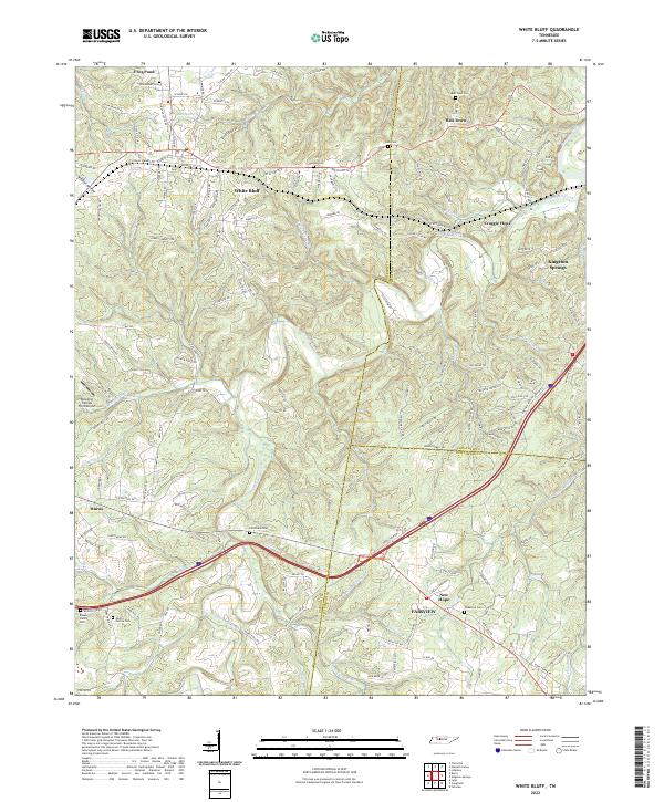 2022 White Bluff2022 Print · USGSThe rural hills of Dickson and Cheatham counties are documented here in the early twenty-first century, showing the established communities of White Bluff and Bell Town. Genealogists can trace local legacies through family landmarks like the Pinkerton Cem, Carothers Cem, and Martin Garton Cem.
End of results
Showing maps 1-17 of 17
Top cities near Kingston Springs
- Nashville historical maps
- Franklin historical maps
- Dickson historical maps
- Fairview historical maps
- Ashland City historical maps
- White Bluff historical maps
See more
Frequently asked questions
- What are the different types of historical maps available for Kingston Springs?
- What is the oldest map of Kingston Springs?
- Where can I purchase historical maps of Kingston Springs for my home or office?
- Where can I download high-res historical maps of Kingston Springs?
- Are there historical topographic maps available for Kingston Springs?
- Is there historical aerial imagery available for Kingston Springs?
- Where are historical maps of Kingston Springs sourced from?