2000s (21st Century) Maps of Claiborne County, Tennessee
Explore 70 historic maps of Claiborne County from the 2000s (21st Century). These maps offer a rare glimpse into what life looked like during the 2000s — showing old roads, neighborhoods, homes, and landmarks that have changed or disappeared over time.
Whether you're researching your family's past, planning a metal detecting trip, or studying how Claiborne County's landscape evolved across the 2000s, these high-resolution maps are a powerful tool for exploring the history of this region.
- Focus on a specific era: All maps on this page are from the 2000s, giving you a focused view of this time period.
- See what’s changed: Compare century-old streets, trails, and buildings to today's modern landscape using overlays and satellite layers.
- Research with precision: Use these maps for genealogy, historical research, land use analysis, or educational projects.
- View, download, or print: Maps are fully viewable online in high resolution, and can be downloaded or printed for your own records.
Start exploring Claiborne County's history through authentic maps from the 2000s. This is your window into the past.
Claiborne County, TN maps
(70)- 2010 Map of Dutch Valley, 2010 Print
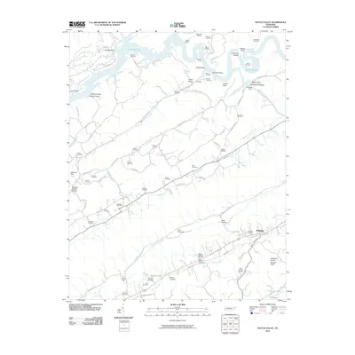 2010 Dutch Valley2010 Print · USGSGrainger County is captured here in the early twenty-first century, showing a landscape of river-carved valleys and upland ridges. Genealogists can locate dozens of family burial sites like Janeway Cemetery and trace the namesake roads of Dutch Valley or the Washburn Post Office.
 - 2010 Map of Avondale, 2010 Print
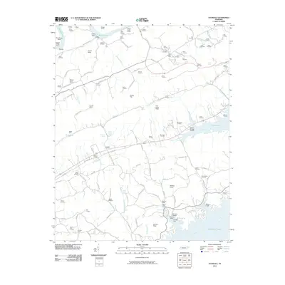 2010 Avondale2010 Print · USGSThe East Tennessee ridges and the expansive waters of Cherokee Lake define this region during the early twenty-first century. Researchers can locate dozens of family burial sites like the Slave Cemetery and landmarks such as the Avondale Lookout Tower.
 - 2010 Map of Howard Quarter, 2010 Print
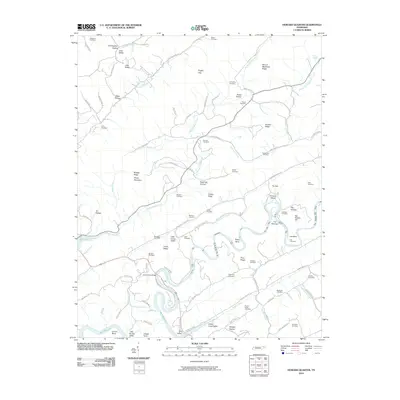 2010 Howard Quarter2010 Print · USGSClaiborne County at the start of the 2010s reveals a landscape of deep river bends and numerous family burial grounds. Local historians can trace generations of residents through sites like Howardton Cemetery, Bundren Cemetery, and the historic crossing at Evans Ferry Bridge.
 - 2010 Map of Clouds, 2010 Print
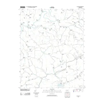 2010 Clouds2010 Print · USGSClaiborne County upland life is documented here in the early twenty-first century as family cemeteries and mineral prospects define the ridges. Genealogists can locate family landmarks like Water Treece Cemetery while tracing industrial sites such as Straight Creek Mines.
 - 2010 Map of Tazewell, 2010 Print
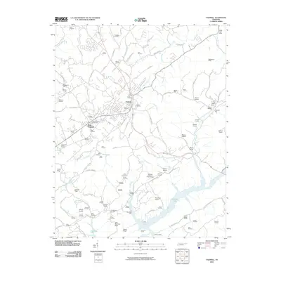 2010 Tazewell2010 Print · USGSTazewell and the surrounding Claiborne County ridges are captured here at the start of the 2010s. Genealogists and local historians can trace scores of family burial sites like Irish Cemetery and Janeway Cemetery or explore the corridor near the Greer Tunnel.
 - 2010 Map of Ausmus, 2010 Print
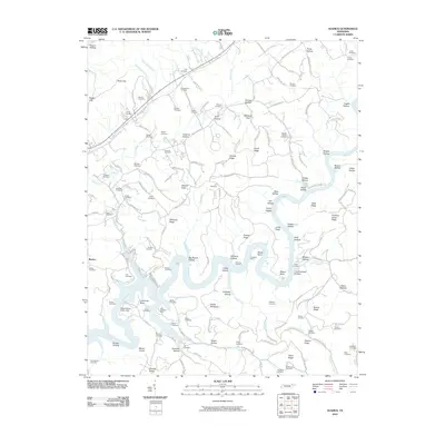 2010 Ausmus2010 Print · USGSThe Powell River winds through Claiborne County in the early twenty-first century, revealing a landscape defined by deep hollows and industrial history. Trace family lineage and mining roots through the Caldwell Mine, Braden Cemetery, and Ausmus Hollow.
 - 2010 Map of Swan Island, 2010 Print
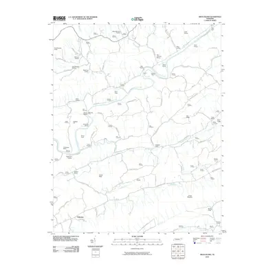 2010 Swan Island2010 Print · USGSHancock County's river valleys and ridgelines are captured here in the early 21st century, showing a landscape defined by the Clinch River. Genealogists can locate dozens of family burial grounds such as Bray Cemetery, Hensley Cemetery, and the river crossing at Manning Ferry.
 - 2010 Map of Powder Springs, 2010 Print
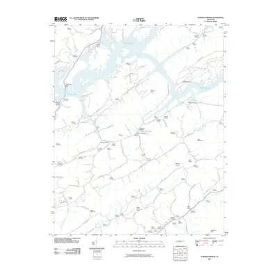 2010 Powder Springs2010 Print · USGSPowder Springs and the surrounding Union County ridges are documented here in the early twenty-first century as Big Ridge Lake winds through the valley. Local historians can trace dozens of family burial sites including Pennington Chapel Cemetery, Cherry Orchard Cemetery, and Beeler Cemetery.
 - 2010 Map of Fork Ridge, 2010 Print
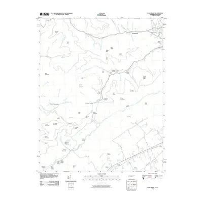 2010 Fork Ridge2010 Print · USGSThe coal country of the Kentucky-Tennessee border is revealed in this 2010 survey of the Cumberland Mountains. Genealogists and historians can trace family lines through the Hatfield Cemetery or locate industrial sites like the Mooneyham Mine and Fork Ridge Mine.
 - 2010 Map of Eagan, 2010 Print
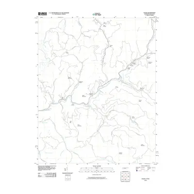 2010 Eagan2010 Print · USGSThe Tennessee-Kentucky border comes into focus in this recent survey of Appalachia's mining heartland. Local historians can trace family roots through the Partin Cemetery or locate industrial sites like the Upper Eagan Mine and Arnold Number Two Mine.
 - 2010 Map of Well Spring, 2010 Print
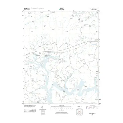 2010 Well Spring2010 Print · USGSThis part of Campbell County along the Powell River is documented in the early twenty-first century, showing a landscape defined by its hollows and family homesteads. Genealogists can locate dozens of burial sites including Childress Cemetery, Bethlehem Cemetery, and the Speedwell Post Office.
 - 2010 Map of Coleman Gap, 2010 Print
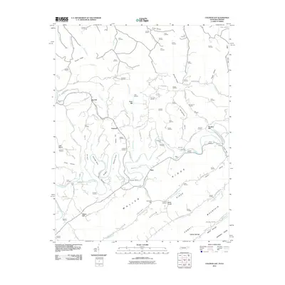 2010 Coleman Gap2010 Print · USGSThe Tennessee and Virginia borderlands come alive in this study of the Powell River valley during the early twenty-first century. Genealogists can trace family legacies across dozens of sites including Rosenbalm Cemetery, Yeary Mill, and the crossings at Brooks Ferry.
 - 2010 Map of Middlesboro South, 2010 Print
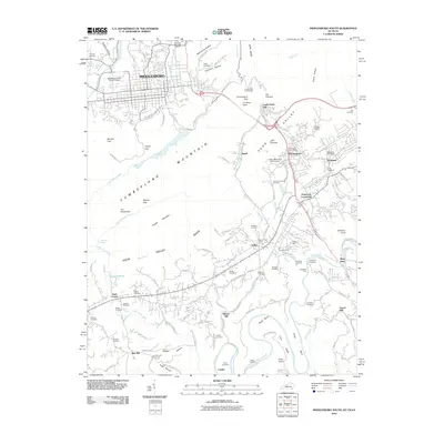 2010 Middlesboro South2010 Print · USGSThe tri-state border region comes into sharp focus in this 2010 study, centered on the historic passage at Cumberland Gap. Researchers can trace the legacy of local families through numerous sites like Vancel Mill, Goins Chapel, and Lincoln Memorial University.
 - 2010 Map of Wheeler, 2010 Print
 2010 Wheeler2010 Print · USGSThe Tennessee-Virginia borderlands near Harrogate are shown here in the first decade of the new millennium. Researchers can trace family history through dozens of burial sites like Sproles Cemetery and historic river crossings including Bussell Ford and Yellow Shoals Ford.
 - 2013 Map of Middlesboro South, 2013 Print
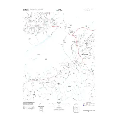 2013 Middlesboro South2013 Print · USGSThis part of the tri-state border country shows the vital passage through the Cumberland Gap and the settlements surrounding it in the early twenty-first century. Genealogists can trace family lines through numerous burial grounds like Old Red Hill Cem or locate historical industry at Minton Mill.
 - 2013 Map of Well Spring, 2013 Print
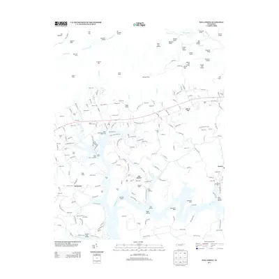 2013 Well Spring2013 Print · USGSEast Tennessee's river valleys and ridge-top cemeteries are documented here during the early twenty-first century. Researchers can trace family roots at Goins Cem and Bethlehem Cem or locate old community hubs like Well Spring and Braden.
 - 2013 Map of Tazewell, 2013 Print
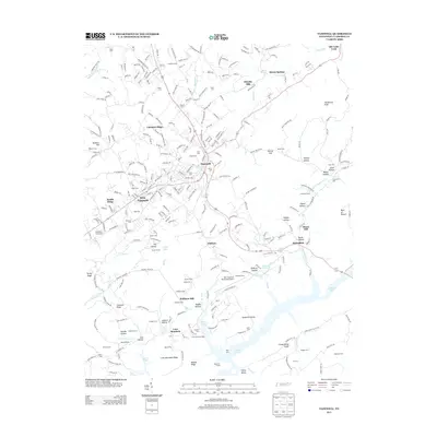 2013 Tazewell2013 Print · USGSTazewell and New Tazewell are shown here during a period of modern growth amidst traditional ridge-and-valley terrain. Researchers can locate dozens of family burial sites like Janeway Cem or trace old routes and landmarks such as Murphy Mill and the Sycamore Tunnel.
 - 2013 Map of Powder Springs, 2013 Print
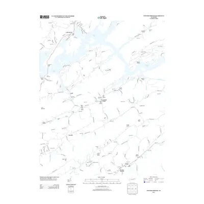 2013 Powder Springs2013 Print · USGSUnion County's ridges and valleys are meticulously detailed in the early 2010s, showing the intersection of Norris Lake recreation and historic settlements. Genealogists can trace family legacies through dozens of sites like Pennington Chapel, Cherry Orchard Cem, and the community of Powder Springs.
 - 2013 Map of Howard Quarter, 2013 Print
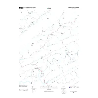 2013 Howard Quarter2013 Print · USGSClaiborne County in the early twenty-first century reveals a landscape shaped by the Clinch River and its deep limestone valleys. Genealogists and local historians can trace family locations near Howard Quarter, find the path of Liberty Cemetery Ln, or locate river landmarks like The Narrows.
 - 2013 Map of Swan Island, 2013 Print
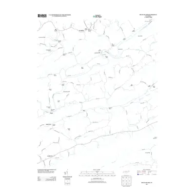 2013 Swan Island2013 Print · USGSHancock County in the early 21st century remains defined by the winding Clinch River and its steep Tennessee ridges. Trace the legacy of river crossings and mountain life through Manning Ferry, Lawson Mill, and the small community of Xenophon.
 - 2013 Map of Coleman Gap, 2013 Print
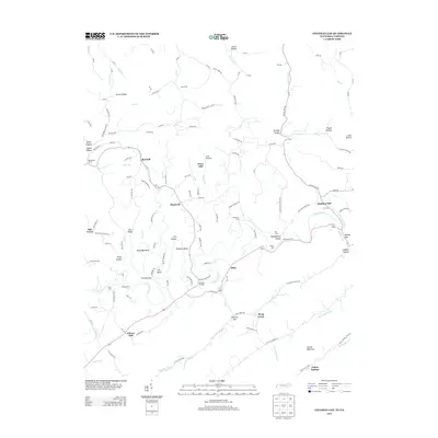 2013 Coleman Gap2013 Print · USGSThe Powell River valley on the Tennessee-Virginia border is shown here during the early twenty-first century. Genealogists and local historians can trace family-named sites and river crossings like Brooks Ferry, Yeary Mill, and Fugate Ford.
 - 2013 Map of Dutch Valley, 2013 Print
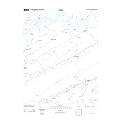 2013 Dutch Valley2013 Print · USGSRutledge and the surrounding Grainger County valleys are shown here during the early twenty-first century. Researchers can trace the development of rural communities like Washburn, Puncheon Camp, and Lulaville, alongside landmarks such as Beeler Mill and Oakman Tunnel.
 - 2013 Map of Fork Ridge, 2013 Print
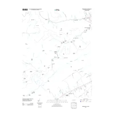 2013 Fork Ridge2013 Print · USGSBell County, Kentucky, in the early twenty-first century reveals a landscape shaped by coal-country rail and mountain geography. Researchers can trace the local industrial network through the Gravity Railroad Yard or locate family sites near Vanbeber Spring and Noetown.
 - 2013 Map of Clouds, 2013 Print
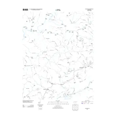 2013 Clouds2013 Print · USGSNortheastern Tennessee's ridge-and-hollow terrain is captured here in the early twenty-first century, showing the rural communities between the Powell River and Norris Lake. Family history researchers can locate specific landmarks like the Cupp Mill, the settlement at Goin, and the Holt Cave Spring.
 - 2013 Map of Avondale, 2013 Print
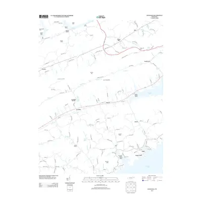 2013 Avondale2013 Print · USGSRidge-and-valley settlements and reservoirs define this East Tennessee landscape in the early twenty-first century. Genealogists and local historians can trace family-named sites and landmarks from Thorn Hill and Beech Grove to the mineral waters at White Sulfur Spring and Avondale Springs.
Showing maps 1-25 of 70
Top cities of Claiborne County
- Harrogate historical maps
- New Tazewell historical maps
- Tazewell historical maps
- Cumberland Gap historical maps
Frequently asked questions
- What are the different types of historical maps available for Claiborne County?
- What is the oldest map of Claiborne County?
- Where can I purchase historical maps of Claiborne County for my home or office?
- Where can I download high-res historical maps of Claiborne County?
- Are there historical topographic maps available for Claiborne County?
- Is there historical aerial imagery available for Claiborne County?
- Where are historical maps of Claiborne County sourced from?