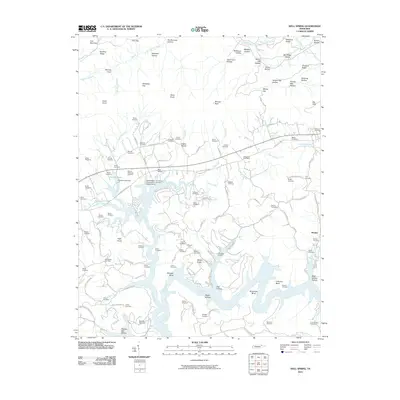
2010 Map of Well Spring
USGS Topo · Published 2010About this map
The Powell River winds through this section of Campbell County, shaping a landscape of deep hollows and prominent ridges like Chestnut Ridge and Log Mountain. The settlement patterns here are intimately tied to the terrain, with dozens of family-named cemeteries such as Maupin Cemetery, Smith Cemetery, and Goins Cemetery scattered across the uplands. Near the waters of Doakes Pond, the Doakes Creek Dam stands as a significant local landmark, while the Speedwell Post Office serves the community of Well Spring.
Find a feature on this map
129 named features on this map. Tap any name to fly to it.
Don’t see what you’re looking for? This feature index may not catch every label — zoom into the map to look around manually.
Map Details
Editions of this 2010 Well Spring Map
This is the sole edition of this map. No revisions or reprints were ever made.
Other maps of this area

1886 · Cumberland Gap
USGS Topo · 1:125,000

1888 · Cumberland Gap
USGS Topo · 1:125,000

1890 · Williamsburg
USGS Topo · 1:125,000

1891 · Cumberland Gap
USGS Topo · 1:125,000

1893 · Briceville
USGS Topo · 1:125,000

1894 · Williamsburg
USGS Topo · 1:125,000

1895 · Briceville
USGS Topo · 1:125,000

1896 · Briceville
USGS Topo · 1:125,000

1897 · Maynardville
USGS Topo · 1:125,000

1900 · Maynardville
USGS Topo · 1:125,000