Old Maps of New Tazewell, Tennessee for Academic Research
Study the evolution of New Tazewell with 23 high-resolution historic maps. Whether you're teaching, researching, or modeling changes in land use, these maps provide essential visual documentation of urban, environmental, and geographic change.
- Analyze long-term change: Track patterns in development, transportation, and natural features.
- Ideal for environmental or urban studies: Support academic projects with primary historical map data.
- Use in the classroom or lab: Educators and researchers rely on these maps to bring historical context to life.
These maps are a powerful tool for teaching, research, and visualizing how New Tazewell has changed over the decades.
New Tazewell, TN maps
(23)- 1897 Map of Maynardville
 1897 Maynardville1897 Print · USGSEast Tennessee in the late nineteenth century was a landscape of high ridges and vital river fords. Genealogists and historians can trace old homesteads and transit hubs like Nances Ferry, the Lead Mine at New Prospect, and Massongills Mill.
 - 1900 Map of Maynardville
 1900 Maynardville1900 Print · USGSEast Tennessee was a world of river fords and mountain gaps at the turn of the century, dominated by the winding Clinch and Powell rivers. Genealogists can trace family roots through specific landmarks like Massongills Mill, Church Grove, and Sharps Chapel.4 unique versions available
 - 1936 Map of Clouds
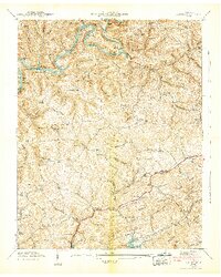
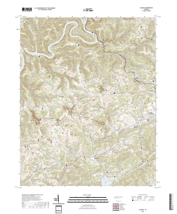
 1936 Clouds1936 Print · USGSClaiborne County sits at a crossroads of change in the mid-1930s as the TVA reservoir transforms the Powell River valley. Researchers can trace ancestral footprints through numerous rural landmarks like Kecks Store, the Straight Creek Mines, and Ford Chapel Cem.2 unique versions available
 - 1936 Map of Rutledge
 1936 Rutledge1936 Print · USGSClinch River communities faced a major transformation in the mid-1930s as the new reservoir began to fill the valley. You can trace the pre-inundation landscape through landmarks like Beeler Mill, the Straight Creek Mines Sch, and Lone Mountain.
 - 1936 Map of Tazewell
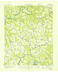
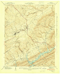
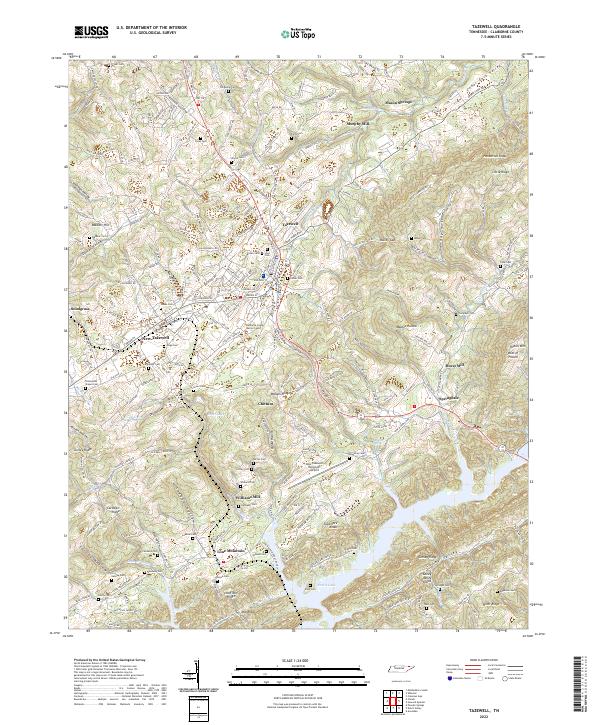
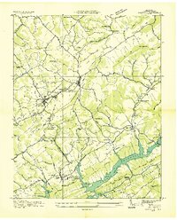 1936 Tazewell1936 Print · USGSClaiborne County appears in the mid-1930s just as the Tennessee Valley Authority began filling the Norris Reservoir. Genealogists and researchers can locate numerous family-named landmarks like Oak Cem, the Greer Tunnel, and rural centers such as Memorial Consolidated Sch.
 - 1942 Map of Clouds
 1942 Clouds1942 Print · USGSClaiborne and Union counties are shown in the early 1940s as the Norris Reservoir and Powell River shape the landscape. Researchers can trace family sites like Meyers Mill, Moody Chapel, and several local schools like Lily Grove Sch.3 unique versions available
 - 1943 Map of Tazewell, 1946 Print
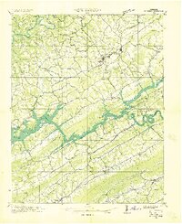
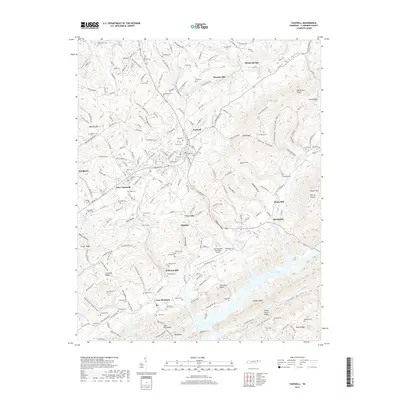
 1943 Tazewell1946 Print · USGSTazewell and the surrounding Claiborne County hills are shown during the mid-forties as the newly formed Norris Reservoir reached into the valley. Researchers can trace family sites like Hoge Cem, rural landmarks such as Williams Mill, and local schools including the Rosenwald Sch.3 unique versions available
 - 1952 Map of Clouds, 1954 Print
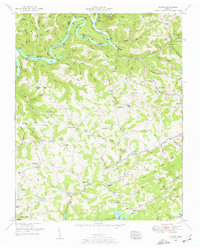 1952 Clouds1954 Print · USGSClaiborne County's ridge-and-hollow country is captured here in the early fifties as the Powell River and Norris Lake define the landscape. Local historians can trace family roots through numerous landmarks like Lonesome Valley School, New Hope Church, and Sandlick.4 unique versions available
 - 1955 Map of Johnson City
 1955 Johnson City1955 Print · USGSEast Tennessee and the bordering highlands of Virginia and Kentucky appear here during the post-war industrial boom. You can trace the complex network of mountain ridges and new TVA lakes, from Johnson City to the coalfields near Middlesboro and Lynch.
 - 1957 Map of Johnson City, 1966 Print
 1957 Johnson City1966 Print · USGSUpper East Tennessee and Southwest Virginia are shown here during the mid-sixties transition of the Appalachians. Researchers can trace the industrial rail hubs of Kingsport, the sprawling waters of Cherokee Lake, and the historic Cumberland Gap.
 - 1960 Map of Johnson City
 1960 Johnson City1960 Print · USGSUpper East Tennessee and the surrounding tri-state area are shown in the mid-fifties during the height of the TVA reservoir era. Trace the industrial rail lines of the Southern and Louisville and Nashville between Kingsport and Johnson City.
 - 1963 Map of Johnson City
 1963 Johnson City1963 Print · USGSThe Tri-Cities and the surrounding Appalachian ridges are shown in detail during the early sixties, highlighting the era's vital rail and river networks. Genealogists and historians can trace the routes of the Clinchfield RR and locate settlements from Rogersville to Elizabethton.
 - 1981 Map of Morristown
 1981 Morristown1981 Print · USGSEast Tennessee's ridge-and-valley corridor is captured here in the early eighties, showing the region's transformation by TVA reservoirs. Genealogists and historians can trace family locations near Alpha Ch, follow the Southern Railway, or locate the Young Mine.
 - 2010 Map of Clouds, 2010 Print
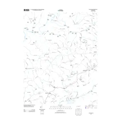
 2010 Clouds2010 Print · USGSCovers New Tazewell, including Cupp Mill, Clouds, and other nearby areas
 - 2010 Map of Tazewell, 2010 Print
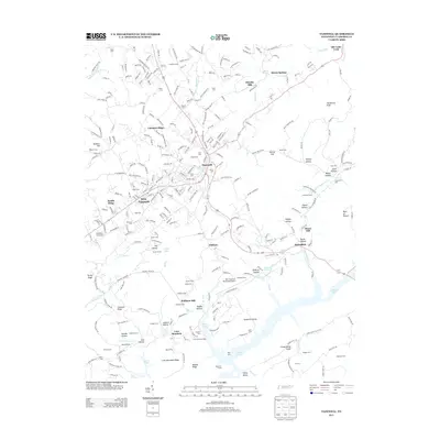
 2010 Tazewell2010 Print · USGSCovers New Tazewell, including Tazewell, Old Cedar Fork, and other nearby areas
 - 2013 Map of Tazewell, 2013 Print
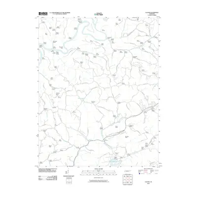
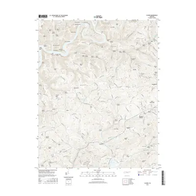
 2013 Tazewell2013 Print · USGSCovers New Tazewell, including Tazewell, Old Cedar Fork, and other nearby areas
 - 2013 Map of Clouds, 2013 Print
 2013 Clouds2013 Print · USGSCovers New Tazewell, including Cupp Mill, Clouds, and other nearby areas
 - 2016 Map of Clouds, 2016 Print
 2016 Clouds2016 Print · USGSCovers New Tazewell, including Cupp Mill, Clouds, and other nearby areas
 - 2016 Map of Tazewell, 2016 Print
 2016 Tazewell2016 Print · USGSCovers New Tazewell, including Tazewell, Old Cedar Fork, and other nearby areas
 - 2019 Map of Clouds, 2019 Print
 2019 Clouds2019 Print · USGSCovers New Tazewell, including Cupp Mill, Clouds, and other nearby areas
 - 2019 Map of Tazewell, 2019 Print
 2019 Tazewell2019 Print · USGSCovers New Tazewell, including Tazewell, Old Cedar Fork, and other nearby areas
 - 2022 Map of Clouds, 2022 Print
 2022 Clouds2022 Print · USGSThe ridges of Claiborne County come alive in this survey of the Tennessee uplands, where the Powell River winds past Combs and Lily Grove. Genealogists can trace family footprints through dozens of rural burial sites like Goin Cem and Skaggs Cem.
 - 2022 Map of Tazewell, 2022 Print
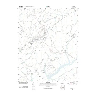
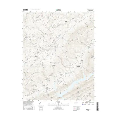
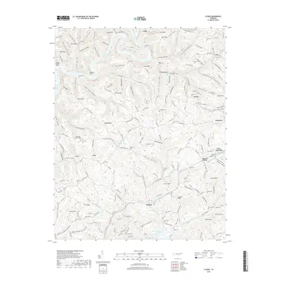
 2022 Tazewell2022 Print · USGSTazewell and its neighboring settlements are captured here in a period of modern development that still honors its rural roots. Genealogists can trace family lines through numerous cemeteries and sites like Williams Mill, Mason Springs, and Hoge Cem.
End of results
Showing maps 1-23 of 23
Top cities near New Tazewell
- Morristown historical maps
- Middlesboro historical maps
- Harrogate historical maps
- Maynardville historical maps
- Tazewell historical maps
- Rutledge historical maps
See more
Top neighborhoods of New Tazewell
Frequently asked questions
- What are the different types of historical maps available for New Tazewell?
- What is the oldest map of New Tazewell?
- Where can I purchase historical maps of New Tazewell for my home or office?
- Where can I download high-res historical maps of New Tazewell?
- Are there historical topographic maps available for New Tazewell?
- Is there historical aerial imagery available for New Tazewell?
- Where are historical maps of New Tazewell sourced from?