Old Maps of Raven Hill, Tennessee for Academic Research
Study the evolution of Raven Hill with 17 high-resolution historic maps. Whether you're teaching, researching, or modeling changes in land use, these maps provide essential visual documentation of urban, environmental, and geographic change.
- Analyze long-term change: Track patterns in development, transportation, and natural features.
- Ideal for environmental or urban studies: Support academic projects with primary historical map data.
- Use in the classroom or lab: Educators and researchers rely on these maps to bring historical context to life.
These maps are a powerful tool for teaching, research, and visualizing how Raven Hill has changed over the decades.
Raven Hill, TN maps
(17)- 1883 Map of Morristown
 1883 Morristown1883 Print · USGSEast Tennessee in the 1880s is defined by the convergence of mountain ridges and the vital rail corridor through Morristown. Researchers can trace the early industrial landscape of the region through landmarks like Witt's Foundry, Tate's Springs, and the historic Bean's Station.
 - 1893 Map of Morristown
 1893 Morristown1893 Print · USGSEast Tennessee in the 1890s was a landscape of deep mountain ridges and vital rail junctions centered around Morristown. Researchers can trace the nineteenth-century river economy through numerous crossings like Cloud Ferry and find early industry at Lotspeachy Mill.
 - 1895 Map of Morristown
 1895 Morristown1895 Print · USGSThe East Tennessee ridge-and-valley country comes alive in the late nineteenth century as a hub of rail and river transit. Trace the routes of old Evans Ferry or locate vanished stops along the Southern R.R. near Morristown and Bull Gap.5 unique versions available
 - 1935 Map of Tate Springs
 1935 Tate Springs1935 Print · USGSThe river valleys of Grainger County are captured here in the mid-1930s as the Tennessee Valley Authority began planning the reservoir. Trace family history through local landmarks like Lawson Mill, Swan Island Ferry, and the community at Tate Springs.
 - 1935 Map of Howard Quarter
 1935 Howard Quarter1935 Print · USGSClaiborne and Hancock counties are captured here in the mid-1930s as the Tennessee Valley Authority began its work on the Clinch River. Genealogists can trace family landmarks like Turner Cem, St Elmo Ch, and the site of CCC Camp No 27.
 - 1942 Map of Howard Quarter, 1957 Print
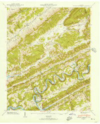 1942 Howard Quarter1957 Print · USGSThe borderlands of Claiborne and Hancock counties are shown here in the early 1940s as the Norris Reservoir transformed the winding Clinch River. Genealogists can trace family landmarks and rural life at Howard Quarter, Seal Chapel, and Mallicoat Cem.2 unique versions available
 - 1943 Map of Howard Quarter, 1946 Print
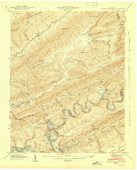 1943 Howard Quarter1946 Print · USGSMid-century Claiborne and Grainger Counties are defined here by the winding Clinch River and the early influence of the Norris Reservoir. Researchers can trace ancestral sites like Pearson Cem and old community hubs including Howard Quarter Sch and Seal Chapel.2 unique versions available
 - 1955 Map of Johnson City
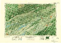 1955 Johnson City1955 Print · USGSEast Tennessee and the bordering highlands of Virginia and Kentucky appear here during the post-war industrial boom. You can trace the complex network of mountain ridges and new TVA lakes, from Johnson City to the coalfields near Middlesboro and Lynch.
 - 1957 Map of Johnson City, 1966 Print
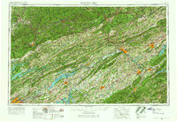 1957 Johnson City1966 Print · USGSUpper East Tennessee and Southwest Virginia are shown here during the mid-sixties transition of the Appalachians. Researchers can trace the industrial rail hubs of Kingsport, the sprawling waters of Cherokee Lake, and the historic Cumberland Gap.
 - 1960 Map of Johnson City
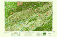 1960 Johnson City1960 Print · USGSUpper East Tennessee and the surrounding tri-state area are shown in the mid-fifties during the height of the TVA reservoir era. Trace the industrial rail lines of the Southern and Louisville and Nashville between Kingsport and Johnson City.
 - 1963 Map of Johnson City
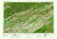 1963 Johnson City1963 Print · USGSThe Tri-Cities and the surrounding Appalachian ridges are shown in detail during the early sixties, highlighting the era's vital rail and river networks. Genealogists and historians can trace the routes of the Clinchfield RR and locate settlements from Rogersville to Elizabethton.
 - 1981 Map of Morristown
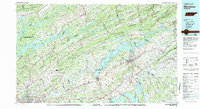 1981 Morristown1981 Print · USGSEast Tennessee's ridge-and-valley corridor is captured here in the early eighties, showing the region's transformation by TVA reservoirs. Genealogists and historians can trace family locations near Alpha Ch, follow the Southern Railway, or locate the Young Mine.
 - 2010 Map of Howard Quarter, 2010 Print
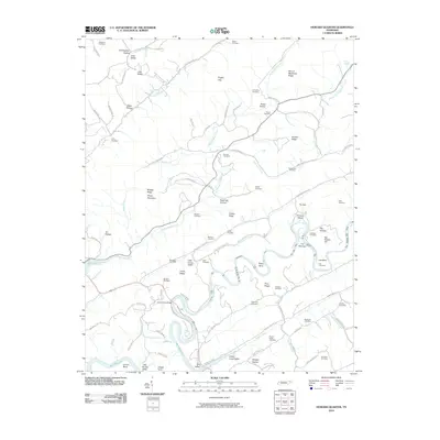 2010 Howard Quarter2010 Print · USGSClaiborne County at the start of the 2010s reveals a landscape of deep river bends and numerous family burial grounds. Local historians can trace generations of residents through sites like Howardton Cemetery, Bundren Cemetery, and the historic crossing at Evans Ferry Bridge.
 - 2013 Map of Howard Quarter, 2013 Print
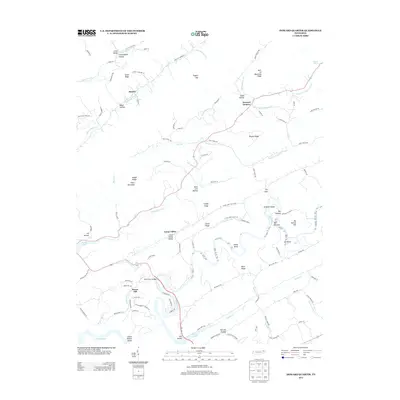 2013 Howard Quarter2013 Print · USGSClaiborne County in the early twenty-first century reveals a landscape shaped by the Clinch River and its deep limestone valleys. Genealogists and local historians can trace family locations near Howard Quarter, find the path of Liberty Cemetery Ln, or locate river landmarks like The Narrows.
 - 2016 Map of Howard Quarter, 2016 Print
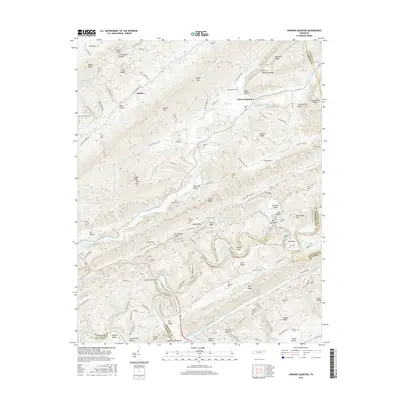 2016 Howard Quarter2016 Print · USGSEast Tennessee ridge-and-valley life is captured here in the mid-2010s, centered on the Clinch River and the settlement of Howard Quarter. Genealogists can trace decades of family history through numerous rural burial sites like Spradling Cem and Lynch Cem.
 - 2019 Map of Howard Quarter, 2019 Print
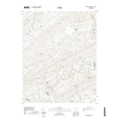 2019 Howard Quarter2019 Print · USGSHoward Quarter and the ridges of Claiborne and Hancock counties are shown here as they appeared in the late 2010s. Researchers can trace family history through numerous local sites like Bundren Cem or the river crossing at Evans Ferry Bridge.
 - 2022 Map of Howard Quarter, 2022 Print
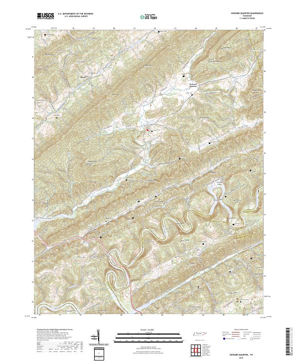 2022 Howard Quarter2022 Print · USGSNear the intersection of three counties in East Tennessee, this modern survey documents a landscape of deeply folded ridges and family hollows. Genealogists can locate numerous ancestral burial grounds like Smith Cem and Howardton Cem along the slopes of Newman Ridge.
End of results
Showing maps 1-17 of 17
Frequently asked questions
- What are the different types of historical maps available for Raven Hill?
- What is the oldest map of Raven Hill?
- Where can I purchase historical maps of Raven Hill for my home or office?
- Where can I download high-res historical maps of Raven Hill?
- Are there historical topographic maps available for Raven Hill?
- Is there historical aerial imagery available for Raven Hill?
- Where are historical maps of Raven Hill sourced from?