2000s (21st Century) Maps of Cocke County, Tennessee
Explore 81 historic maps of Cocke County from the 2000s (21st Century). These maps offer a rare glimpse into what life looked like during the 2000s — showing old roads, neighborhoods, homes, and landmarks that have changed or disappeared over time.
Whether you're researching your family's past, planning a metal detecting trip, or studying how Cocke County's landscape evolved across the 2000s, these high-resolution maps are a powerful tool for exploring the history of this region.
- Focus on a specific era: All maps on this page are from the 2000s, giving you a focused view of this time period.
- See what’s changed: Compare century-old streets, trails, and buildings to today's modern landscape using overlays and satellite layers.
- Research with precision: Use these maps for genealogy, historical research, land use analysis, or educational projects.
- View, download, or print: Maps are fully viewable online in high resolution, and can be downloaded or printed for your own records.
Start exploring Cocke County's history through authentic maps from the 2000s. This is your window into the past.
Cocke County, TN maps
(81)- 2000 Map of Mount Guyot, 2001 Print
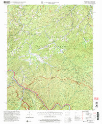
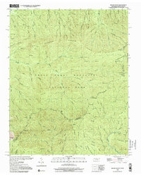 2000 Mount Guyot2001 Print · USGSThe high crest of the Smokies at the turn of the millennium remains a wilderness of named peaks and mountain trails along the state line. Trace the path of the Appalachian National Scenic Trail past Mount Guyot, Charles Bunion, and Tricorner Knob.
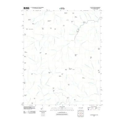
 - 2000 Map of Luftee Knob, 2001 Print
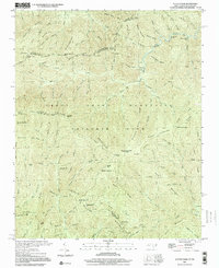 2000 Luftee Knob2001 Print · USGSThe high ridges of the Great Smokies meet at the border of North Carolina and Tennessee in this early twenty-first-century survey. Hikers and historians can trace the Appalachian Trail across Cosby Knob and locate the path of an Old Railroad Grade near Balsam High Top.
 - 2003 Map of Cedar Creek, 2004 Print
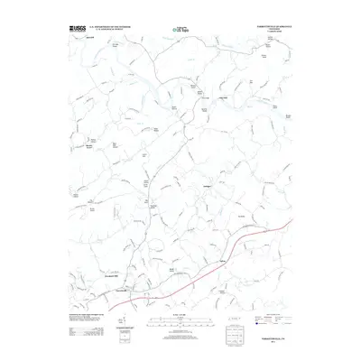
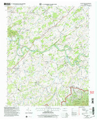 2003 Cedar Creek2004 Print · USGSIn the early twenty-first century, the river valleys of Greene and Cocke counties maintained a landscape of established family crossroads and rural landmarks. Researchers can locate the Meadow Creek Mill, the De Busk Sch, and the Susong Memorial Ch Cem.
 - 2003 Map of Hartford, 2004 Print
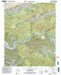
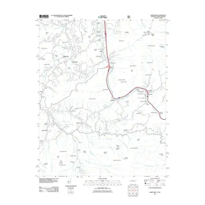
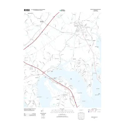
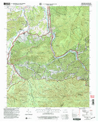 2003 Hartford2004 Print · USGSThe Tennessee and North Carolina borderlands come to life in this survey of the Pigeon River corridor as it appeared after the turn of the millennium. Researchers can trace family roots at Ogle Chapel, find historic mill sites like Jenkins Mill, and locate long-standing landmarks such as Catons Grove.
 - 2003 Map of Waterville, 2004 Print
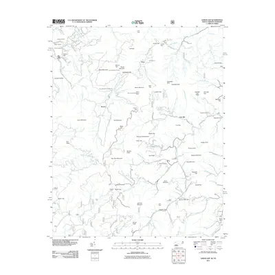
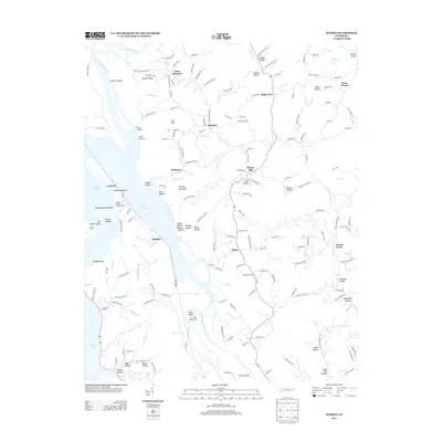
 2003 Waterville2004 Print · USGSThe Tennessee and North Carolina borderlands come to life in this early 2000s study of the Great Smoky Mountains. Genealogists and hikers can trace the Appalachian Trail past Cogdill Chapel and explore old settlements like Tom Town and Waterville.
 - 2003 Map of Paint Rock, 2004 Print
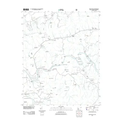
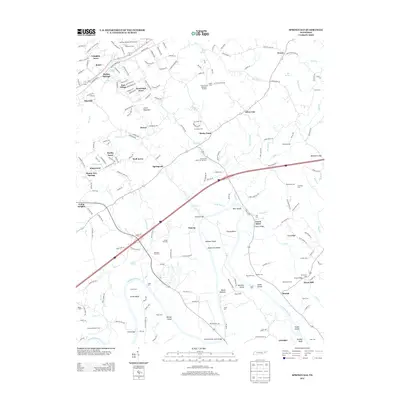
 2003 Paint Rock2004 Print · USGSThe Tennessee and North Carolina border comes alive in the early 2000s, where the French Broad River cuts through the Bald Mountains. Genealogists and local historians can trace riverfront settlements like Paint Rock and Lanceville or find upland hollows such as Franklin Hollow.
 - 2010 Map of Chestnut Hill, 2010 Print
 2010 Chestnut Hill2010 Print · USGSCovers Cocke County, including Newport, Tryon, and other nearby areas
 - 2010 Map of Jones Cove, 2010 Print
 2010 Jones Cove2010 Print · USGSCovers Cocke County, including Pittman Center, Rocky Grove, and other nearby areas
 - 2010 Map of Parrottsville, 2010 Print
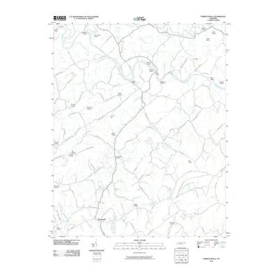 2010 Parrottsville2010 Print · USGSCovers Cocke County, including Parrottsville, Bruner Grove, and other nearby areas
 - 2010 Map of Rankin, 2010 Print
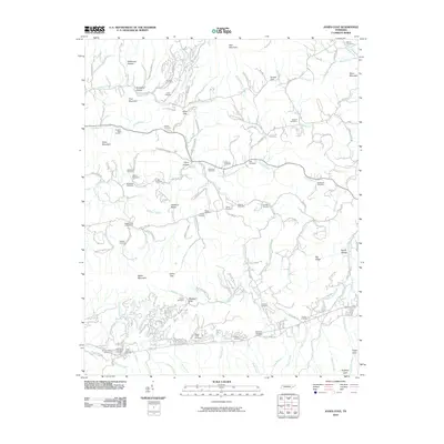
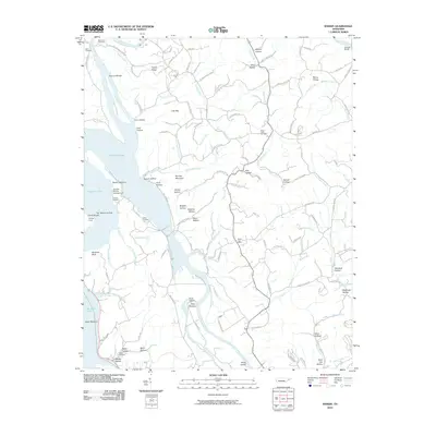 2010 Rankin2010 Print · USGSCovers Cocke County, including Redwine, Bybee, and other nearby areas
 - 2010 Map of White Pine, 2010 Print
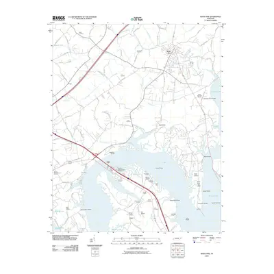 2010 White Pine2010 Print · USGSCovers Cocke County, including White Pine, Baneberry, and other nearby areas
 - 2010 Map of Mount Guyot, 2010 Print
 2010 Mount Guyot2010 Print · USGSCovers Cocke County, including Sevier County, Haywood County, and other nearby areas
 - 2010 Map of Luftee Knob, 2010 Print
 2010 Luftee Knob2010 Print · USGSCovers Cocke County, including Haywood County, Swain County, and other nearby areas
 - 2011 Map of Neddy Mountain, 2011 Print
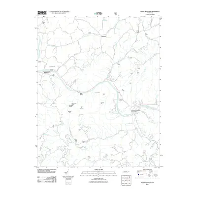 2011 Neddy Mountain2011 Print · USGSCovers Cocke County, including Del Rio, West Myers, and other nearby areas
 - 2011 Map of Newport, 2011 Print
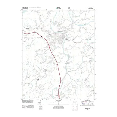 2011 Newport2011 Print · USGSCovers Cocke County, including Newport, Edwina, and other nearby areas
 - 2011 Map of Cedar Creek, 2011 Print
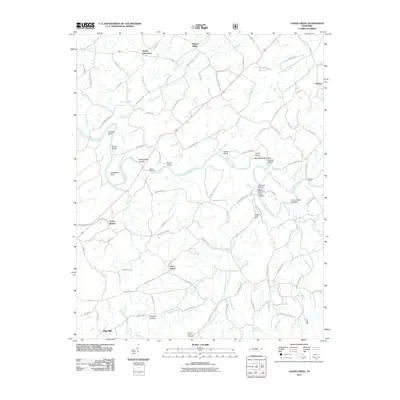 2011 Cedar Creek2011 Print · USGSCovers Cocke County, including Timber Ridge, Saint James, and other nearby areas
 - 2011 Map of Springvale, 2011 Print
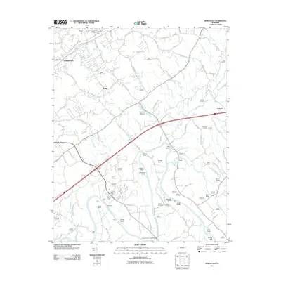 2011 Springvale2011 Print · USGSCovers Cocke County, including Morristown, Nenny, and other nearby areas
 - 2011 Map of Paint Rock, 2011 Print
 2011 Paint Rock2011 Print · USGSCovers Cocke County, including Lanceville, Wolf Creek, and other nearby areas
 - 2011 Map of Lemon Gap, 2011 Print
 2011 Lemon Gap2011 Print · USGSCovers Cocke County, including Blue Mill, Wasp, and other nearby areas
 - 2011 Map of Hartford, 2011 Print
 2011 Hartford2011 Print · USGSCovers Cocke County, including Catons Grove, Allen Grove, and other nearby areas
 - 2011 Map of Waterville, 2011 Print
 2011 Waterville2011 Print · USGSCovers Cocke County, including Waterville, Raven Branch, and other nearby areas
 - 2013 Map of Springvale, 2013 Print
 2013 Springvale2013 Print · USGSCovers Cocke County, including Morristown, Nenny, and other nearby areas
 - 2013 Map of White Pine, 2013 Print
 2013 White Pine2013 Print · USGSCovers Cocke County, including White Pine, Baneberry, and other nearby areas
 - 2013 Map of Rankin, 2013 Print
 2013 Rankin2013 Print · USGSCovers Cocke County, including Redwine, Bybee, and other nearby areas
 - 2013 Map of Parrottsville, 2013 Print
 2013 Parrottsville2013 Print · USGSCovers Cocke County, including Parrottsville, Bruner Grove, and other nearby areas
Showing maps 1-25 of 81
Top cities of Cocke County
Frequently asked questions
- What are the different types of historical maps available for Cocke County?
- What is the oldest map of Cocke County?
- Where can I purchase historical maps of Cocke County for my home or office?
- Where can I download high-res historical maps of Cocke County?
- Are there historical topographic maps available for Cocke County?
- Is there historical aerial imagery available for Cocke County?
- Where are historical maps of Cocke County sourced from?