2010s Maps of Cocke County, Tennessee
Explore 60 historic maps of Cocke County from the 2010s. These maps offer a rare glimpse into what life looked like during the 2010s — showing old roads, neighborhoods, homes, and landmarks that have changed or disappeared over time.
Whether you're researching your family's past, planning a metal detecting trip, or studying how Cocke County's landscape evolved across the 2010s, these high-resolution maps are a powerful tool for exploring the history of this region.
- Focus on a specific era: All maps on this page are from the 2010s, giving you a focused view of this time period.
- See what’s changed: Compare century-old streets, trails, and buildings to today's modern landscape using overlays and satellite layers.
- Research with precision: Use these maps for genealogy, historical research, land use analysis, or educational projects.
- View, download, or print: Maps are fully viewable online in high resolution, and can be downloaded or printed for your own records.
Start exploring Cocke County's history through authentic maps from the 2010s. This is your window into the past.
Cocke County, TN maps
(60)- 2010 Map of Chestnut Hill, 2010 Print
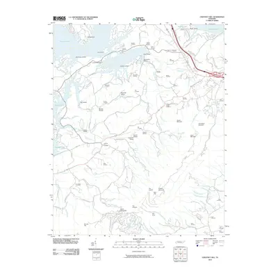 2010 Chestnut Hill2010 Print · USGSChestnut Hill and the surrounding Cocke County highlands are captured here in 2010, featuring a landscape defined by the waters of Douglas Lake. Researchers can trace dozens of family burial sites, including the Old Holt Cemetery, Chestnut Hill Cemetery, and Burchfield Cemetery.
 - 2010 Map of Jones Cove, 2010 Print
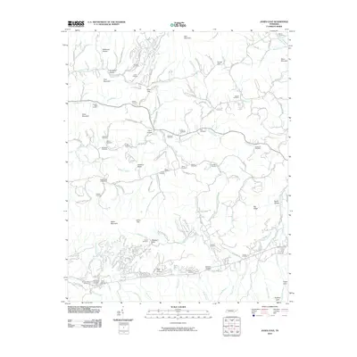 2010 Jones Cove2010 Print · USGSSevier County in the early twenty-first century remains a landscape of high ridges and family legacies. Genealogists and local historians can trace ancestral sites across several burial grounds, from the Breeden-Rolen Cemetery to Hartsell Cemetery near Middle Creek.
 - 2010 Map of Parrottsville, 2010 Print
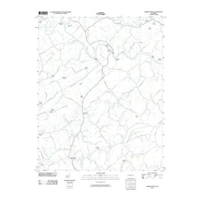 2010 Parrottsville2010 Print · USGSParrottsville and the Nolichucky River valley are captured in detail during the early twenty-first century. Researchers can trace family history through numerous named hollows and landmarks like Ottinger Cemetery, Hale Bridge, and Evans Island.
 - 2010 Map of Rankin, 2010 Print
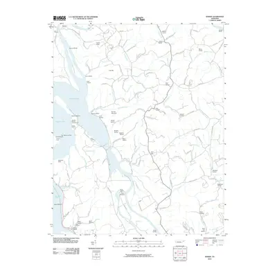 2010 Rankin2010 Print · USGSThe convergence of the French Broad and Nolichucky Rivers defines this area during the early twenty-first century. Genealogists and local historians can locate several family burial sites like Calfee Cemetery and trace the rural community around the Bybee Post Office.
 - 2010 Map of White Pine, 2010 Print
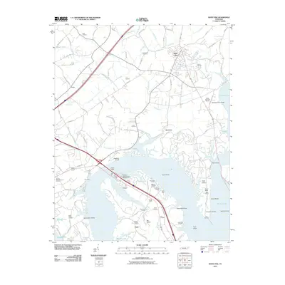 2010 White Pine2010 Print · USGSWhite Pine and the northern reaches of Douglas Lake are captured here during the first decade of the 21st century. Genealogists can trace family roots through numerous burial sites like Westminister Cemetery and Graham Chapel Cemetery or locate landmarks such as Swann Bridge.
 - 2010 Map of Mount Guyot, 2010 Print
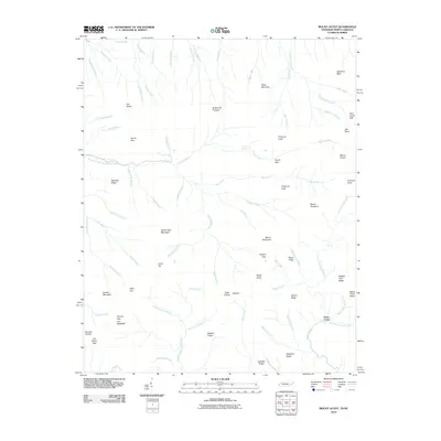 2010 Mount Guyot2010 Print · USGSThe high peaks of the Great Smoky Mountains dominate the Tennessee and North Carolina border in the early twenty-first century. Researchers can trace the source waters of the Middle Prong Little Pigeon River and locate remote landmarks like Pecks Corner and Ramsey Cascades.
 - 2010 Map of Luftee Knob, 2010 Print
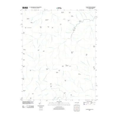 2010 Luftee Knob2010 Print · USGSHaywood County's high ridges and mountain gaps are documented in this late-era survey of the Great Smoky Mountains. Hikers and local historians can trace high-altitude landmarks like Luftee Knob, Walnut Bottom, and the cascading Mouse Creek Falls.
 - 2011 Map of Neddy Mountain, 2011 Print
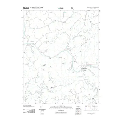 2011 Neddy Mountain2011 Print · USGSThe French Broad River corridor in Cocke County comes into focus in this early twenty-first-century survey of the Appalachian foothills. Local researchers can locate family landmarks like the Faubion Cemetery, the historic Del Rio Post Office, and several namesake workings including the East Meyer Mine.
 - 2011 Map of Newport, 2011 Print
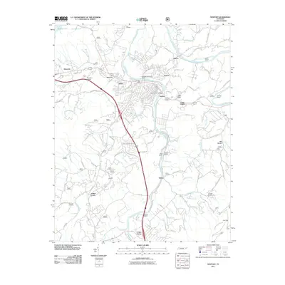 2011 Newport2011 Print · USGSNewport and its neighboring communities are shown at the turn of the decade as the town expanded along the Pigeon River. Researchers can trace local lineage through more than a dozen burial sites including Nichols Cemetery, Baxter Cemetery, and Brooks Cemetery.
 - 2011 Map of Cedar Creek, 2011 Print
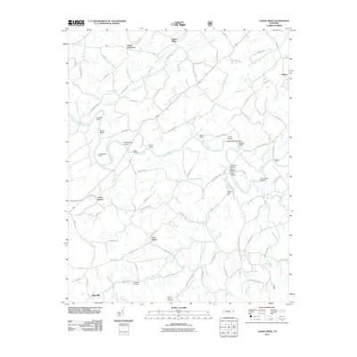 2011 Cedar Creek2011 Print · USGSGreene County’s river-carved landscape is documented here in the early 21st century, showing a network of rural crossroads and river crossings. Researchers can trace family history through landmarks like Mount Olive Cemetery, Saint James, and the site of Meadow Creek Mill.
 - 2011 Map of Springvale, 2011 Print
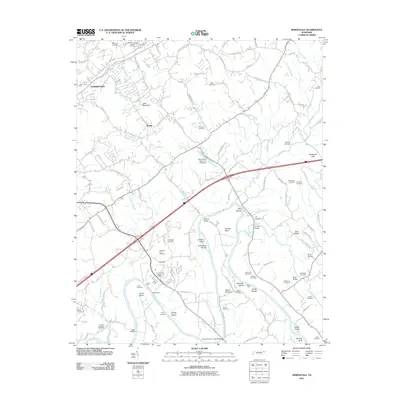 2011 Springvale2011 Print · USGSHamblen County's river-fed valley comes into focus in this early twenty-first-century survey south of Morristown. Genealogists and historians can locate numerous family burial sites like Talley Cemetery and trace river landmarks such as Inman Ford or Johnson Island.
 - 2011 Map of Paint Rock, 2011 Print
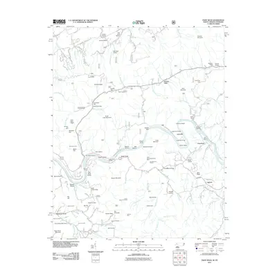 2011 Paint Rock2011 Print · USGSThe French Broad River corridor at the Tennessee and North Carolina border reveals a landscape of mountain mining and riverside settlement. Researchers can locate several family cemeteries like Cutshall Cemetery and trace historical mining sites such as the Mooneyham Mine and Gold Mine.
 - 2011 Map of Lemon Gap, 2011 Print
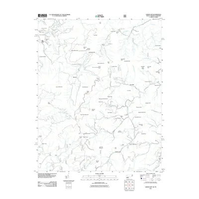 2011 Lemon Gap2011 Print · USGSThe Tennessee and North Carolina borderlands are captured here in the early twenty-first century as a landscape of high ridges and deep coves. Researchers can find many family landmarks and remote sites, including Joe Post Office, the Round Mountain Lookout, and Waddell Cemetery.
 - 2011 Map of Hartford, 2011 Print
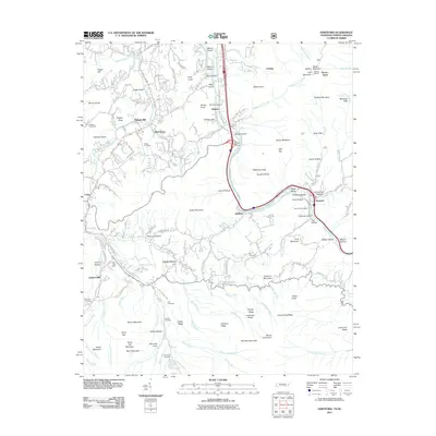 2011 Hartford2011 Print · USGSThe Pigeon River valley comes into focus during the early twenty-first century, showing the small communities of the Great Smoky Mountains foothills. Researchers can locate remote family landmarks like the Valentine Cemetery, Jenkins Mill, and the high Hall Top Lookout.
 - 2011 Map of Waterville, 2011 Print
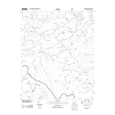 2011 Waterville2011 Print · USGSThe North Carolina and Tennessee borderlands appear here in the early twenty-first century as a land of high ridges and deep river valleys. Family researchers and hikers can trace the Pigeon River and locate remote sites like Hall Cemetery or the Davenport Gap Appalachian Trail Shelter.
 - 2013 Map of Springvale, 2013 Print
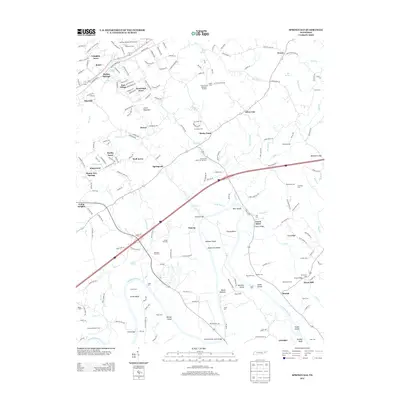 2013 Springvale2013 Print · USGSEast of Morristown in the early twenty-first century, the river valley reveals a network of long-established family homesteads and local trade centers. Genealogists can locate numerous burial sites like Bethesda Cem and trace historic river crossings at Inman Ford or Scoot Mill.
 - 2013 Map of White Pine, 2013 Print
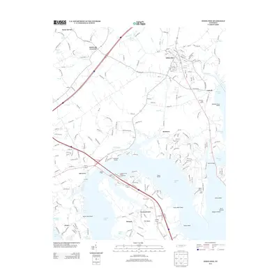 2013 White Pine2013 Print · USGSThe French Broad valley and White Pine area are shown in this modern survey, highlighting the intricate shoreline of Douglas Lake. Genealogists and historians can trace family-named points like Swannsylvania, Kimbrough Crossroad, and Halls Corner.
 - 2013 Map of Rankin, 2013 Print
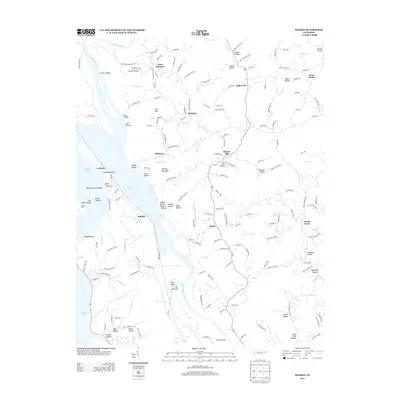 2013 Rankin2013 Print · USGSThe rivers and hollows of East Tennessee meet at the headwaters of Douglas Lake in the early twenty-first century. Genealogists and local historians can trace family land and old river crossings near Point Pleasant, Bybee, and Irish Bottoms.
 - 2013 Map of Parrottsville, 2013 Print
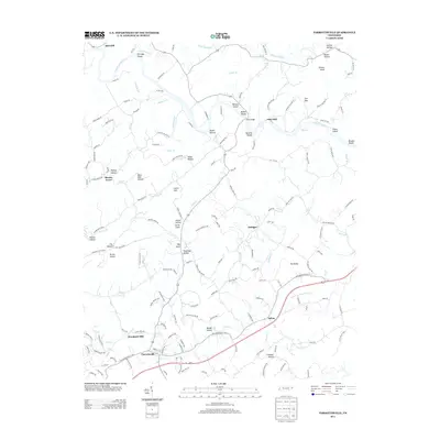 2013 Parrottsville2013 Print · USGSParrottsville and the surrounding countryside are documented here in the early twenty-first century. Researchers can trace the layout of local crossroads and settlements such as Ottinger or locate geographic landmarks like Bird Hill.
 - 2013 Map of Cedar Creek, 2013 Print
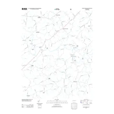 2013 Cedar Creek2013 Print · USGSEastern Tennessee's rural landscape is captured here in the early twenty-first century, centered on the winding path of the Nolichucky River. Genealogists and local historians can locate namesake landmarks like Hendersons Shoals, the Meadow Creek Mill, and Luttrell Spring.
 - 2013 Map of Neddy Mountain, 2013 Print
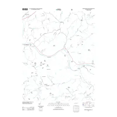 2013 Neddy Mountain2013 Print · USGSCocke County in the early twenty-first century remains defined by the winding French Broad River and its surrounding peaks. Genealogists and local historians can trace family locations near Del Rio, the old site of Click Mill, and the many hollows of Neddy Mountain.
 - 2013 Map of Jones Cove, 2013 Print
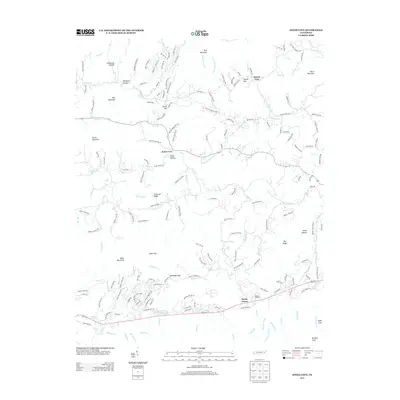 2013 Jones Cove2013 Print · USGSThe Tennessee foothills near Jones Cove are shown in detail during the early twenty-first century. Researchers can trace family-named landmarks and mountain crossings like Baxter's Orchard, Sunset Gap, and Stillhouse Hollow.
 - 2013 Map of Mount Guyot, 2013 Print
 2013 Mount Guyot2013 Print · USGSHigh ridges of the Great Smoky Mountains dominate the landscape during this era of conservation and recreation. Researchers can trace historic drainage routes and summit landmarks like Mount Guyot, Ramsey Cascades, and the high-elevation settlement at Three Forks.
 - 2013 Map of Newport, 2013 Print
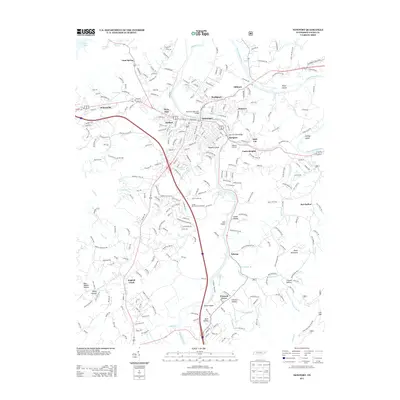 2013 Newport2013 Print · USGSNewport and its surrounding river valleys are captured here in the early twenty-first century as the region balanced its urban growth with deep-rooted rural character. Genealogists and historians can trace family-named locations such as McSween Spring, Burnett Spring, and neighborhood enclaves like Jimtown or Irish Cut.
 - 2013 Map of Chestnut Hill, 2013 Print
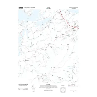 2013 Chestnut Hill2013 Print · USGSThe Tennessee foothills south of Newport come into focus here during the early twenty-first century, showing the intersection of ridge-life and the reservoir. Researchers can locate community anchors like Dickey School, trace family hollows, and identify landmarks from Chestnut Hill to Promised Land.
Showing maps 1-25 of 60
Top cities of Cocke County
Frequently asked questions
- What are the different types of historical maps available for Cocke County?
- What is the oldest map of Cocke County?
- Where can I purchase historical maps of Cocke County for my home or office?
- Where can I download high-res historical maps of Cocke County?
- Are there historical topographic maps available for Cocke County?
- Is there historical aerial imagery available for Cocke County?
- Where are historical maps of Cocke County sourced from?