Old Maps of Alamo, Tennessee for Genealogy
Trace your family roots with 15 historic maps of Alamo. These high-res maps reveal old neighborhoods, homesites, landmarks, and streets — helping you uncover where your ancestors lived and how the area evolved over time.
- Explore historic neighborhoods: Identify where your relatives may have lived in the 1800s or 1900s.
- Compare maps over time: Trace the changes in streets, buildings, and landmarks for multi-generational research.
- Perfect for genealogy & ancestry research: Used by family historians and researchers to map out lineage and migration.
These maps are an incredible resource for exploring your personal connection to Alamo's past.
Alamo, TN maps
(15)- 1956 Map of Blytheville, 1964 Print
 1956 Blytheville1964 Print · USGSWest Tennessee and the Arkansas Delta come alive in this mid-century survey of the river-and-rail corridor connecting Memphis to Jackson. Genealogists and historians can trace the rail lines of the Louisville and Nashville RR and locate landmarks like Western State Hospital or Fort Pillow State Prison Farm.2 unique versions available
 - 1959 Map of Blytheville
 1959 Blytheville1959 Print · USGSWest Tennessee and Northeast Arkansas meet along the river in the late fifties, during a period of steady industrial and agricultural growth. Genealogists can trace the rail corridors of the Illinois Central through Jackson or explore landmarks like Shiloh National Military Park and Fort Pillow State Prison.
 - 1964 Map of Maury City, 1966 Print
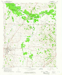
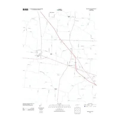
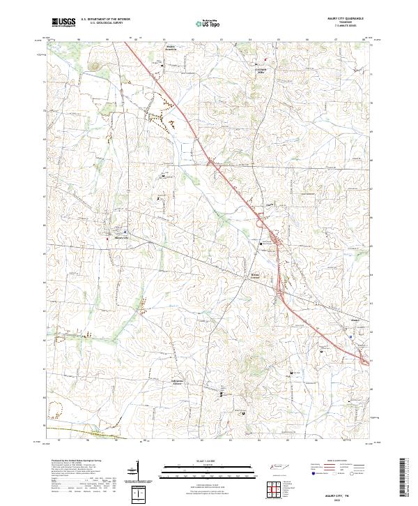
 1964 Maury City1966 Print · USGSCrockett County life in the mid-1960s is centered on rural crossroads and the rail line connecting Maury City to Alamo. Researchers can trace family history through a network of local landmarks like Hamlett Robertson Sch and the Pond Creek Cem.2 unique versions available
 - 1964 Map of Alamo, 1966 Print
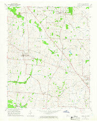
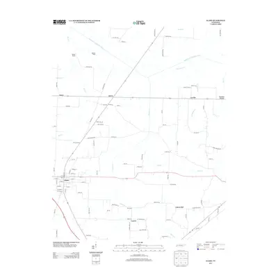
 1964 Alamo1966 Print · USGSCrockett County in the mid-1960s was a landscape defined by its rail-connected town centers and fertile river bottoms. Local historians can trace the legacy of small communities like Coxville or find family roots at Quincy Cem and Mt Olive Ch.2 unique versions available
 - 1986 Map of Blytheville
 1986 Blytheville1986 Print · USGSThe Arkansas-Tennessee borderlands appear here in the mid-eighties, centered on the mighty Mississippi River and its shifting islands. Trace the footprints of Blytheville Air Force Base, old river towns like Golddust, and the extensive grounds of the Fort Pillow State Prison Farm.2 unique versions available
 - 2010 Map of Maury City, 2010 Print
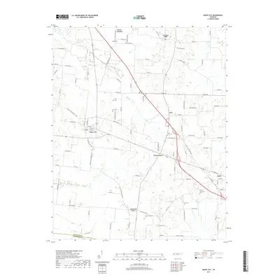
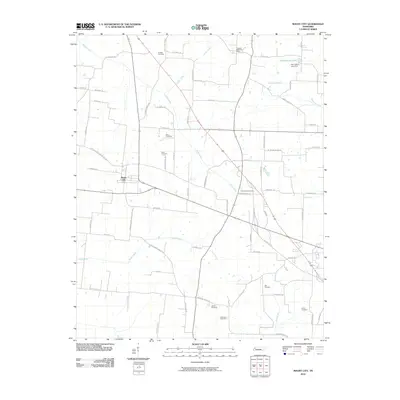 2010 Maury City2010 Print · USGSCovers Alamo, including Maury City, Cairo, and other nearby areas
 - 2010 Map of Alamo, 2010 Print
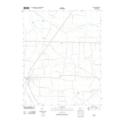 2010 Alamo2010 Print · USGSCovers Alamo, including Liberty Hall, Cypress, and other nearby areas
 - 2013 Map of Alamo, 2013 Print
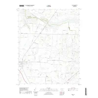
 2013 Alamo2013 Print · USGSCovers Alamo, including Liberty Hall, Cypress, and other nearby areas
 - 2013 Map of Maury City, 2013 Print
 2013 Maury City2013 Print · USGSCovers Alamo, including Maury City, Cairo, and other nearby areas
 - 2016 Map of Alamo, 2016 Print
 2016 Alamo2016 Print · USGSCovers Alamo, including Liberty Hall, Cypress, and other nearby areas
 - 2016 Map of Maury City, 2016 Print
 2016 Maury City2016 Print · USGSCovers Alamo, including Maury City, Cairo, and other nearby areas
 - 2019 Map of Maury City, 2019 Print
 2019 Maury City2019 Print · USGSCovers Alamo, including Maury City, Cairo, and other nearby areas
 - 2019 Map of Alamo, 2019 Print
 2019 Alamo2019 Print · USGSCovers Alamo, including Liberty Hall, Cypress, and other nearby areas
 - 2022 Map of Maury City, 2022 Print
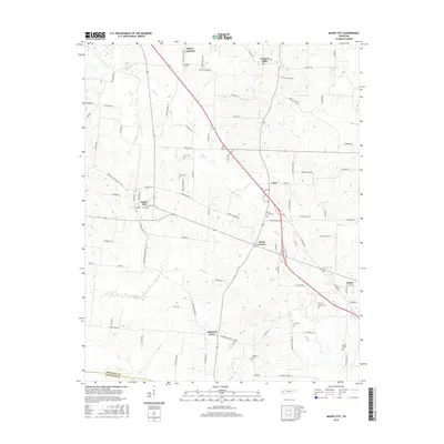
 2022 Maury City2022 Print · USGSCrockett County's rural heartland is preserved here in the early twenty-first century, showing the small settlements and crossroads that anchor this West Tennessee landscape. Researchers can trace family history through numerous burial grounds like Perry-Bridget Cem and Nunn Cem or locate old community centers like Brims Corner.
 - 2022 Map of Alamo, 2022 Print
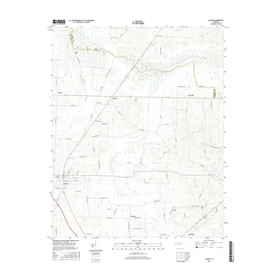
 2022 Alamo2022 Print · USGSCrockett County's rural heartland and the county seat of Alamo are documented here in the early twenty-first century. Genealogists and local historians can trace family land and landmarks through numerous sites like Quincy Cem, Mound Field, and the Crockett County Courthouse.
End of results
Showing maps 1-15 of 15
Top cities near Alamo
- Jackson historical maps
- Dyersburg historical maps
- Brownsville historical maps
- Humboldt historical maps
- Trenton historical maps
- Bells historical maps
See more
Frequently asked questions
- What are the different types of historical maps available for Alamo?
- What is the oldest map of Alamo?
- Where can I purchase historical maps of Alamo for my home or office?
- Where can I download high-res historical maps of Alamo?
- Are there historical topographic maps available for Alamo?
- Is there historical aerial imagery available for Alamo?
- Where are historical maps of Alamo sourced from?