Old Maps of Midway, Tennessee for Metal Detecting
Plan your next treasure hunt with 9 historic maps of Midway. Find old homesites, ghost towns, trails, and gathering spots that may be lost to time — perfect for identifying promising metal detecting locations.
- Locate forgotten sites: Uncover places like long-lost settlements, abandoned rail lines, or gathering spots.
- Plan better hunts: Use map overlays combined with LiDAR or satellite views to narrow in on historically rich areas.
- Made for detectorists: Thousands of hobbyists use these maps to discover relics, coins, and hidden history.
Use these historic maps to boost your research and find new opportunities beneath the surface of Midway.
Midway, TN maps
(9)- 1956 Map of Blytheville, 1964 Print
 1956 Blytheville1964 Print · USGSWest Tennessee and the Arkansas Delta come alive in this mid-century survey of the river-and-rail corridor connecting Memphis to Jackson. Genealogists and historians can trace the rail lines of the Louisville and Nashville RR and locate landmarks like Western State Hospital or Fort Pillow State Prison Farm.2 unique versions available
 - 1959 Map of Blytheville
 1959 Blytheville1959 Print · USGSWest Tennessee and Northeast Arkansas meet along the river in the late fifties, during a period of steady industrial and agricultural growth. Genealogists can trace the rail corridors of the Illinois Central through Jackson or explore landmarks like Shiloh National Military Park and Fort Pillow State Prison.
 - 1959 Map of Adair, 1960 Print
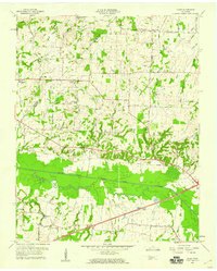 1959 Adair1960 Print · USGSWest Tennessee’s rural landscape is captured here in the late fifties, centered on the Adair community and the South Fork Forked Deer River. Researchers can trace old family burial sites at Jewette Cem and McLemore Cem or locate the historic Gulf Mobile and Ohio rail line.4 unique versions available
 - 1986 Map of Milan
 1986 Milan1986 Print · USGSWest Tennessee in the mid-eighties shows a landscape defined by industrial military sites and expansive state forests. Trace the rail lines of the Seaboard System RR, locate the Milan Arsenal, or explore the protected lands of Natchez Trace State Forest.2 unique versions available
 - 2010 Map of Adair, 2010 Print
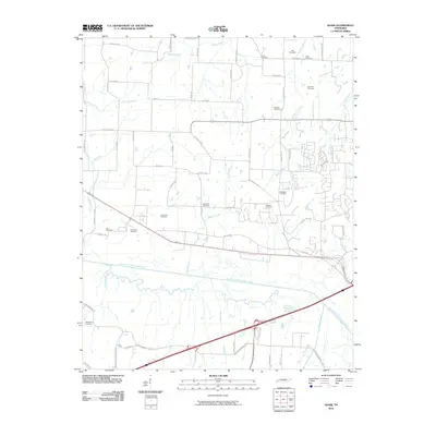 2010 Adair2010 Print · USGSCovers Midway, including Jackson, Windy City, and other nearby areas
 - 2013 Map of Adair, 2013 Print
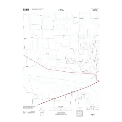 2013 Adair2013 Print · USGSCovers Midway, including Jackson, Windy City, and other nearby areas
 - 2016 Map of Adair, 2016 Print
 2016 Adair2016 Print · USGSCovers Midway, including Jackson, Windy City, and other nearby areas
 - 2019 Map of Adair, 2019 Print
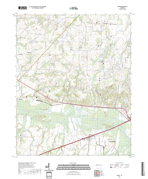
 2019 Adair2019 Print · USGSCovers Midway, including Jackson, Windy City, and other nearby areas
 - 2022 Map of Adair, 2022 Print
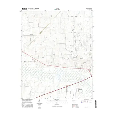
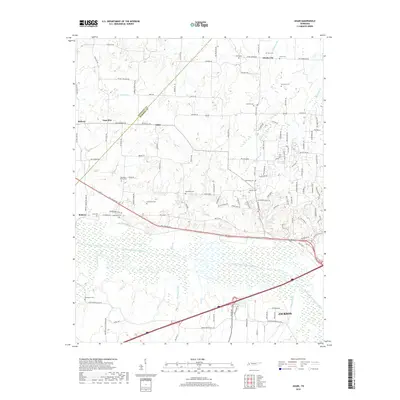
 2022 Adair2022 Print · USGSMadison and Crockett counties are seen here in their modern rural state, centered on the historic crossroads of Adair and Windy City. Researchers can trace dozens of family landmarks, from the Randolph Family Cem to the Bascom Christian Methodist Episcopal Church near the river.
End of results
Showing maps 1-9 of 9
Top cities near Midway
- Jackson historical maps
- Brownsville historical maps
- Humboldt historical maps
- Trenton historical maps
- Alamo historical maps
- Bells historical maps
See more
Frequently asked questions
- What are the different types of historical maps available for Midway?
- What is the oldest map of Midway?
- Where can I purchase historical maps of Midway for my home or office?
- Where can I download high-res historical maps of Midway?
- Are there historical topographic maps available for Midway?
- Is there historical aerial imagery available for Midway?
- Where are historical maps of Midway sourced from?