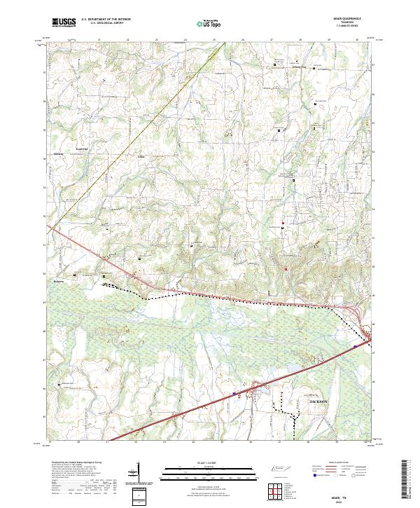
2022 Map of Adair
USGS Topo · Published 2022About this map
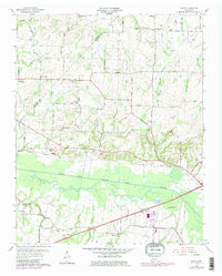
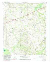
The South Fork Forked Deer River dominates the southern landscape of this West Tennessee quadrangle, winding through a wide floodplain where Meriweather Br, Cub Cr, and Johnson Creek converge. This area, located northwest of Jackson, is defined by its small crossroads settlements and a high density of family burial grounds that reflect generations of rural life. Communities such as Adair, Windy City, and Gum Flat are linked by a network of established country roads, including Old Stage Rd and Old Humboldt Rd. The cultural history of the region is anchored by institutions like the Bascom Christian Methodist Episcopal Church and the Harris Grove Church. Genealogists will find a wealth of local data in the numerous small cemeteries, such as the Randolph Family Cem, McClellan Cem, and the Hart - Dickins Cem, which sit tucked away near tributary streams like Adair Br and Pearsons Cr.
Find a feature on this map
124 named features on this map. Tap any name to fly to it.
Don’t see what you’re looking for? This feature index may not catch every label — zoom into the map to look around manually.
Map Details
Editions of this 2022 Adair Map
This is the sole edition of this map. No revisions or reprints were ever made.
Historical Maps of Midway Through Time
18 maps found
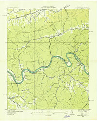
1935 Paint Rock
Madison County, TN
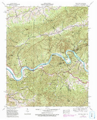
1940 Paint Rock
Madison County, TN
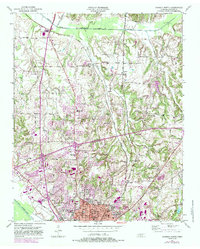
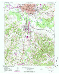
1950 Jackson North
Madison County, TN
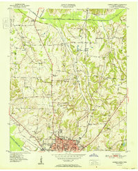
1950 Jackson South
Madison County, TN
1951 Jackson North
Madison County, TN
1953 Claybrook
Madison County, TN
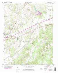
1959 Adair
Madison County, TN
1959 Denmark
Madison County, TN
1959 Westover
Madison County, TN
1961 Teague
Madison County, TN
1997 Jackson North
Madison County, TN
2022 Adair
Madison County, TN
2022 Claybrook
Madison County, TN
2022 Denmark
Madison County, TN
2022 Jackson North
Madison County, TN
2022 Jackson South
Madison County, TN
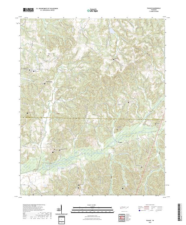
2022 Teague
Madison County, TN
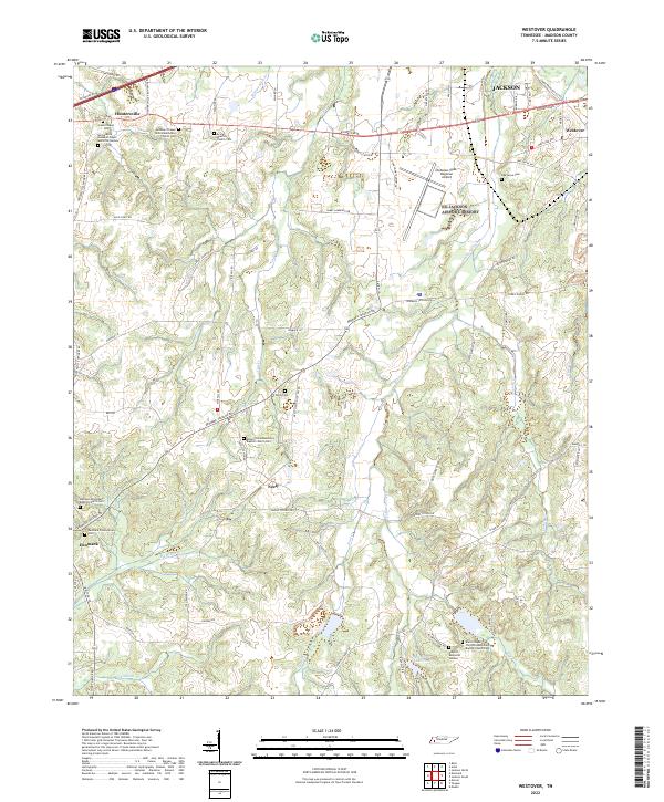
2022 Westover
Madison County, TN