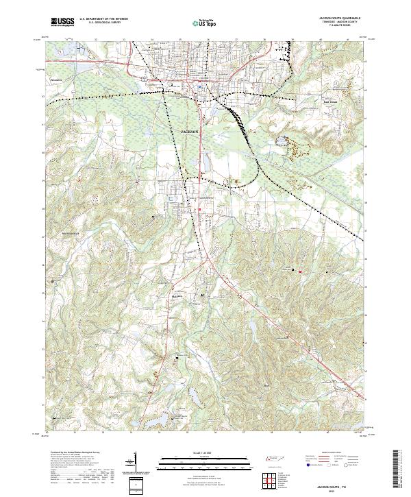
2022 Map of Jackson South
USGS Topo · Published 2022About this map
The South Fork Forked Deer River and its companion, the North Fork Forked Deer River, define the hydrology of this Madison County landscape south of the city center. Downtown Jackson serves as a dense municipal anchor, featuring the Madison County Courthouse and the J Alexander Leech Criminal Justice Complex - Courts Building near the University of Memphis at Lambuth. To the south, the landscape transitions from urban grid to the undulating terrain around Norton Hill.
Find a feature on this map
119 named features on this map. Tap any name to fly to it.
Don’t see what you’re looking for? This feature index may not catch every label — zoom into the map to look around manually.
Map Details
Editions of this 2022 Jackson South Map
This is the sole edition of this map. No revisions or reprints were ever made.
Other maps of this area

1950 · Jackson South
USGS Topo · 1:24,000

1950 · Jackson North
USGS Topo · 1:24,000

1951 · Jackson North
USGS Topo · 1:24,000

1953 · Claybrook
USGS Topo · 1:24,000

1953 · Beech Bluff
USGS Topo · 1:24,000

1956 · Blytheville
USGS Topo · 1:250,000

1959 · Blytheville
USGS Topo · 1:250,000

1959 · Westover
USGS Topo · 1:24,000

1959 · Adair
USGS Topo · 1:24,000

1961 · Medon
USGS Topo · 1:24,000