
1959 Map of Westover
USGS Topo · Published 1960About this map
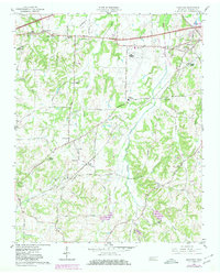
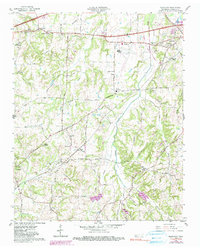
Huntersville and Westover anchor this mid-century portrait of Madison County, where small agricultural communities are linked by a complex network of rural thoroughfares such as Broadway and Nashville Road. The landscape is defined by the drainage systems of Johnson Creek and Black Creek, which cut through the undulating terrain near Mt Pinson. Transportation and infrastructure are central to the area's identity, evidenced by the Louisville and Nashville Railroad cutting across the territory with stops like Burkitt Siding. The map documents a high density of rural social centers, including numerous schools like West High Sch and Golden Sch, and local congregations at Andrews Chapel and Blairs Chapel. Aviation presence is also noted at Mc Kellar Field, featuring an Airway Beacon, marking the intersection of traditional Tennessee farming life and modernizing infrastructure.
Find a feature on this map
41 named features on this map. Tap any name to fly to it.
Don’t see what you’re looking for? This feature index may not catch every label — zoom into the map to look around manually.
Map Details
Editions of this 1959 Westover Map
3 editions found
Other maps of this area

1950 · Jackson South
USGS Topo · 1:24,000

1950 · Jackson North
USGS Topo · 1:24,000

1951 · Jackson North
USGS Topo · 1:24,000

1956 · Blytheville
USGS Topo · 1:250,000

1959 · Blytheville
USGS Topo · 1:250,000

1959 · Bells
USGS Topo · 1:24,000

1959 · Denmark
USGS Topo · 1:24,000

1959 · Adair
USGS Topo · 1:24,000

1961 · Medon
USGS Topo · 1:24,000
1961 · Mercer
USGS Topo · 1:24,000