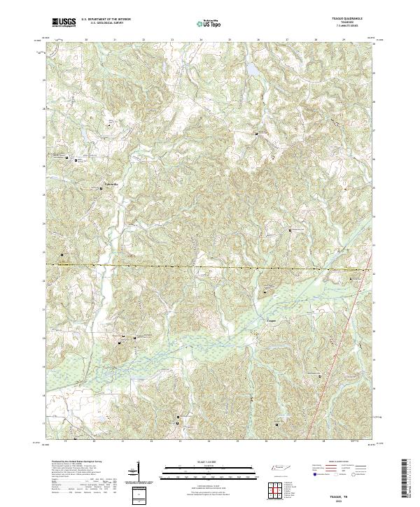
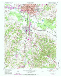
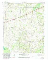
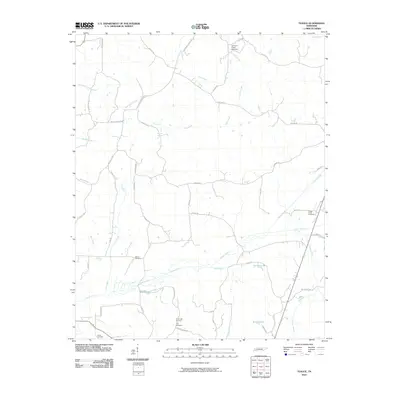
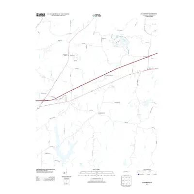
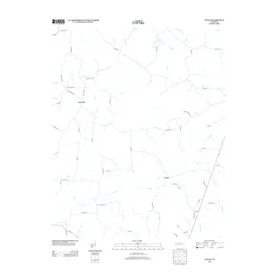
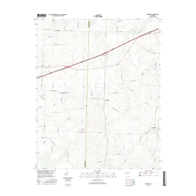
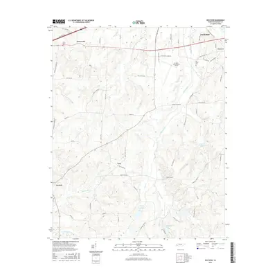
2022 Map of Teague
USGS Topo · Published 2022About this map
The border between Madison and Hardeman counties defines the landscape of this region, where the terrain transitions from the lowlands of Clover Cr and Pugh Cr to more elevated ground marked by numerous family-named landmarks. The small settlement of Uptonville sits in the northwest, supported by a network of rural routes like Steam Mill Ferry Rd and Hailey Rd. This area is particularly notable for its dense concentration of burial grounds, including the Old Vernon Cem, Miller Family Cem, and Pyles Tate Cem, which offer significant value for genealogical research.
Find a feature on this map
64 named features on this map. Tap any name to fly to it.
Don’t see what you’re looking for? This feature index may not catch every label — zoom into the map to look around manually.
Map Details
Editions of this 2022 Teague Map
This is the sole edition of this map. No revisions or reprints were ever made.
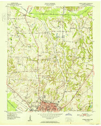
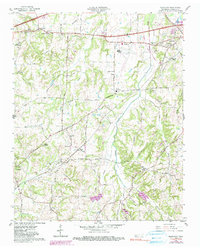
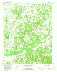
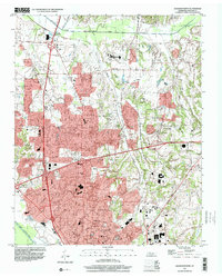
Historical Maps of Teague Through Time
46 maps found
1935 Paint Rock
Madison County, TN
1940 Paint Rock
Madison County, TN
1950 Jackson North
Madison County, TN
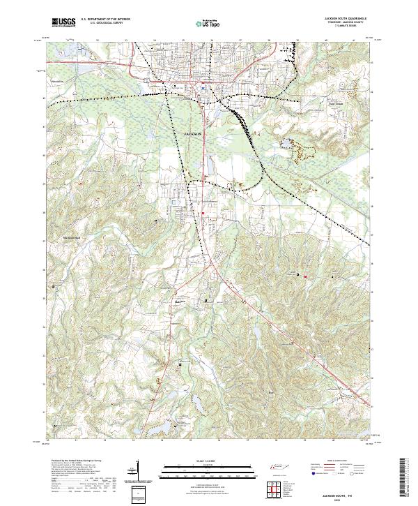
1950 Jackson South
Madison County, TN
1951 Jackson North
Madison County, TN
1953 Claybrook
Madison County, TN
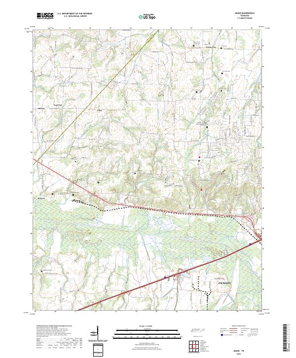
1959 Adair
Madison County, TN
1959 Denmark
Madison County, TN
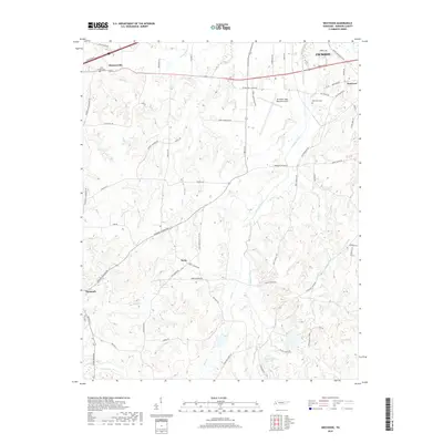
1959 Westover
Madison County, TN
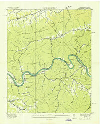
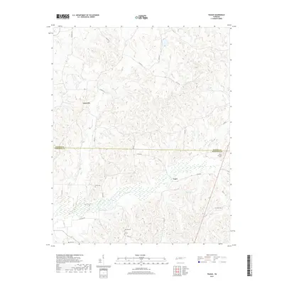
1961 Teague
Madison County, TN
1997 Jackson North
Madison County, TN
2010 Adair
Madison County, TN
2010 Claybrook
Madison County, TN
2010 Denmark
Madison County, TN
2010 Jackson North
Madison County, TN
2010 Jackson South
Madison County, TN
2010 Teague
Madison County, TN
2010 Westover
Madison County, TN
2013 Adair
Madison County, TN
2013 Claybrook
Madison County, TN
2013 Denmark
Madison County, TN
2013 Jackson North
Madison County, TN
2013 Jackson South
Madison County, TN
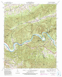
2013 Teague
Madison County, TN
2013 Westover
Madison County, TN
2016 Adair
Madison County, TN
2016 Claybrook
Madison County, TN
2016 Denmark
Madison County, TN
2016 Jackson North
Madison County, TN
2016 Jackson South
Madison County, TN
2016 Teague
Madison County, TN
2016 Westover
Madison County, TN
2019 Adair
Madison County, TN
2019 Claybrook
Madison County, TN
2019 Denmark
Madison County, TN
2019 Jackson North
Madison County, TN
2019 Jackson South
Madison County, TN
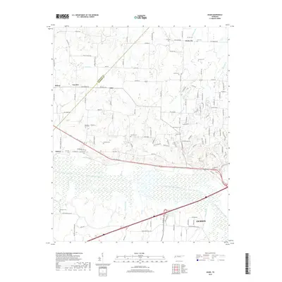
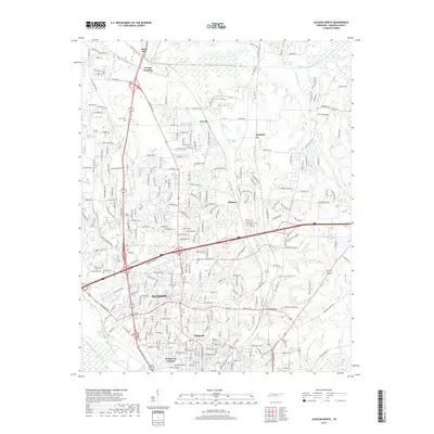
2019 Teague
Madison County, TN
2019 Westover
Madison County, TN
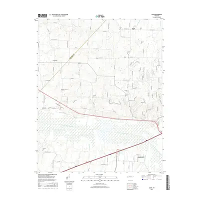
2022 Adair
Madison County, TN
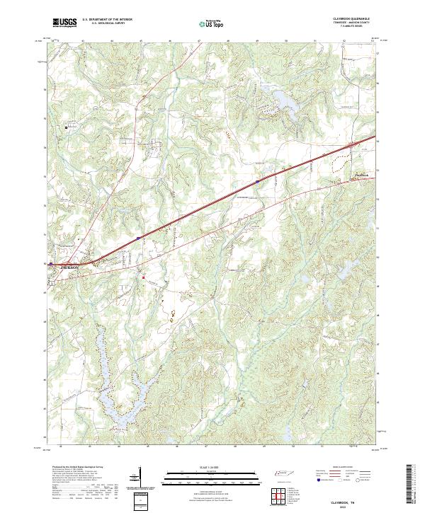
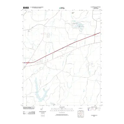
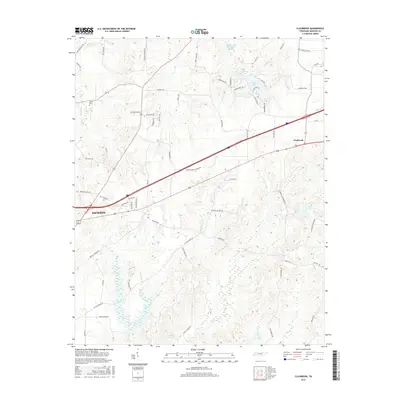
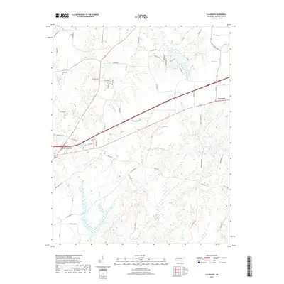
2022 Claybrook
Madison County, TN
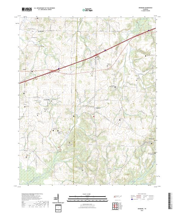
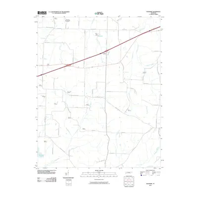
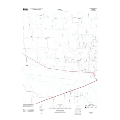
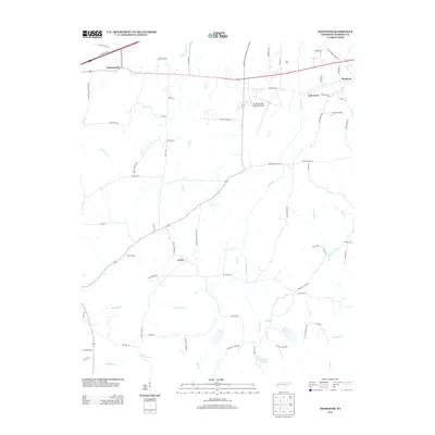
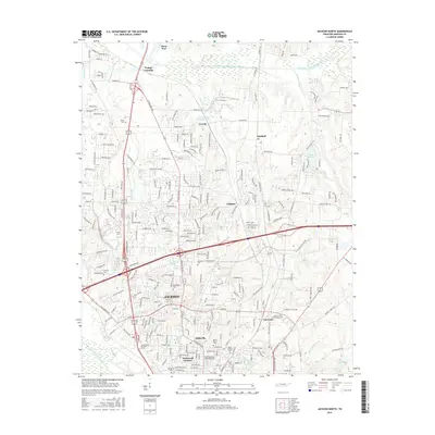
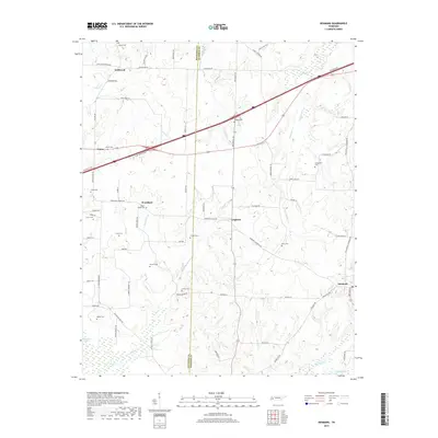
2022 Denmark
Madison County, TN
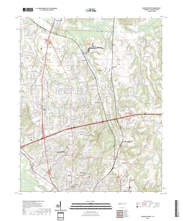
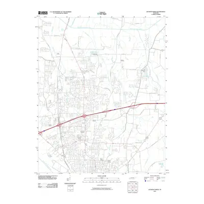
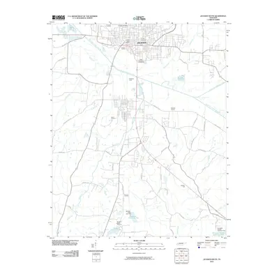
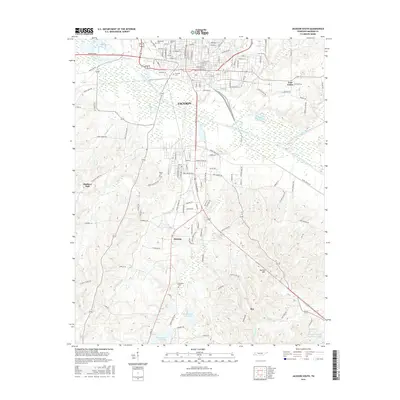
2022 Jackson North
Madison County, TN
2022 Jackson South
Madison County, TN
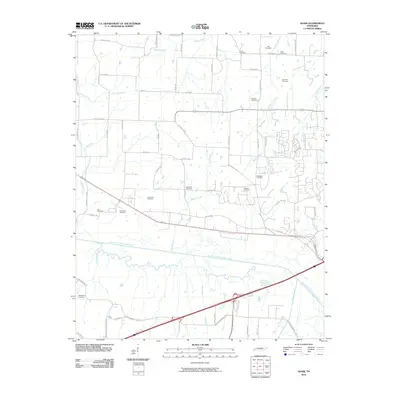
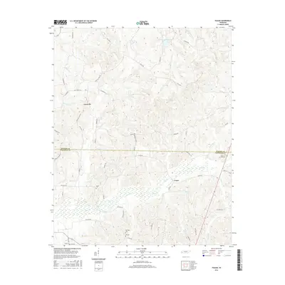
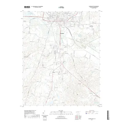
2022 Teague
Madison County, TN
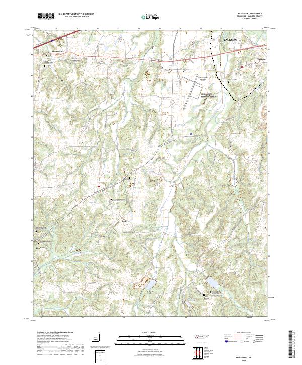
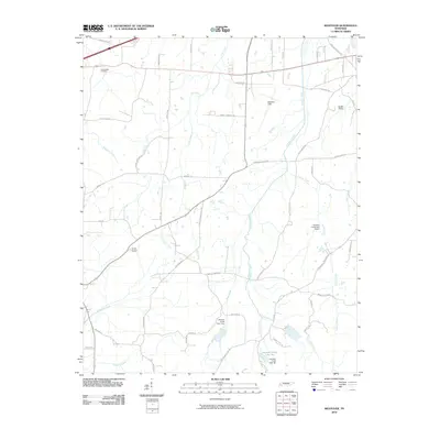
2022 Westover
Madison County, TN