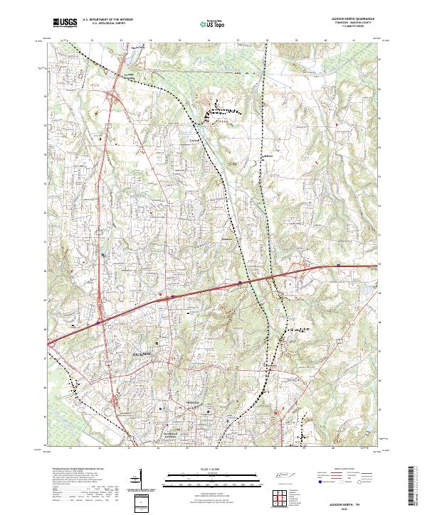
2022 Map of Jackson North
USGS Topo · Published 2022About this map
Jackson and its northern suburbs are defined by a complex landscape of drainage basins and institutional growth. The Middle Fork Forked Deer River and South Fork Forked Deer River frame the urban expansion, with residential developments like Westwood Gardens and Hicksville filling the space between these waterways. This era shows a significant concentration of higher education and professional training, featuring prominent campuses for Union University, Lane College, and the Jackson State Community College.
Find a feature on this map
262 named features on this map. Tap any name to fly to it.
Don’t see what you’re looking for? This feature index may not catch every label — zoom into the map to look around manually.
Map Details
Editions of this 2022 Jackson North Map
This is the sole edition of this map. No revisions or reprints were ever made.
Other maps of this area

1950 · Jackson South
USGS Topo · 1:24,000

1950 · Jackson North
USGS Topo · 1:24,000

1951 · Jackson North
USGS Topo · 1:24,000

1953 · Claybrook
USGS Topo · 1:24,000

1953 · Beech Bluff
USGS Topo · 1:24,000

1956 · Blytheville
USGS Topo · 1:250,000

1959 · Medina
USGS Topo · 1:24,000

1959 · Blytheville
USGS Topo · 1:250,000

1959 · Westover
USGS Topo · 1:24,000

1959 · Adair
USGS Topo · 1:24,000