Old Maps of Crab Orchard, Tennessee for Academic Research
Study the evolution of Crab Orchard with 34 high-resolution historic maps. Whether you're teaching, researching, or modeling changes in land use, these maps provide essential visual documentation of urban, environmental, and geographic change.
- Analyze long-term change: Track patterns in development, transportation, and natural features.
- Ideal for environmental or urban studies: Support academic projects with primary historical map data.
- Use in the classroom or lab: Educators and researchers rely on these maps to bring historical context to life.
These maps are a powerful tool for teaching, research, and visualizing how Crab Orchard has changed over the decades.
Crab Orchard, TN maps
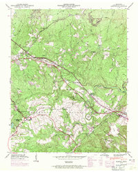
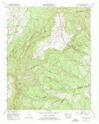
(34)- 1887 Map of Kingston
 1887 Kingston1887 Print · USGSCentral Tennessee in the late nineteenth century was a world of river landings and new rail lines. Genealogists can trace family roots through riverside sites like Sevier's Ferry or rural hubs like Bogges X Roads and Ten Mile Stand.
 - 1891 Map of Kingston
 1891 Kingston1891 Print · USGSEastern Tennessee in the 1890s reveals a river-driven economy at the edge of the Cumberland Plateau. Genealogists can trace early crossings and landings such as Mc Elwee's Ferry and Pinhook Landing, or locate vanished crossroads like Kemmers Old Stand.2 unique versions available
 - 1893 Map of Kingston, 1905 Print
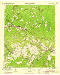
 1893 Kingston1905 Print · USGSEastern Tennessee at the end of the nineteenth century is a landscape of mountain gaps and vital river landings. Researchers can trace early river crossings like Jackson Ferry, the path of the Cincinnati Southern Railroad, and settlements like Rhea Springs and Kingston.5 unique versions available
 - 1936 Map of Ozone
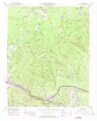
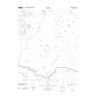
 1936 Ozone1936 Print · USGSCumberland County's highland terrain in the mid-1930s reveals a landscape shaped by the Tennessee Central Railroad and early state highways. Genealogists and historians can trace family locations near Waldensia, Ozone, and the Gill Cem.
 - 1936 Map of Grassy Cove
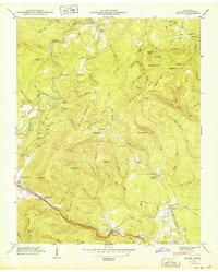
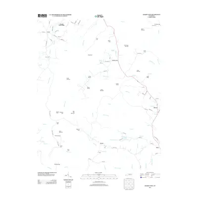
 1936 Grassy Cove1936 Print · USGSCumberland County life in the mid-1930s is defined by the unique karst geology of the plateau and its isolated mountain settlements. Researchers can pinpoint rural landmarks like Jewett Ch, the Linary Sch, and the high mountain pass at Key Reed Gap.
 - 1936 Map of Dorton
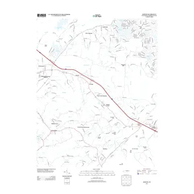
 1936 Dorton1936 Print · USGSCumberland County comes into focus in the mid-1930s as federal projects began reshaping the plateau. Genealogists can trace family footprints at Cumberland Homesteads or locate the site of CCC Camp No 3464 and the Homestead Sch.
 - 1946 Map of Grassy Cove, 1968 Print
 1946 Grassy Cove1968 Print · USGSThe high Cumberland Plateau in the late 1940s reveals a landscape of massive karst depressions and isolated mountain settlements. Genealogists and hikers can trace old family sites like Reed Cem, landmarks such as Milksick Cave, and the rural community of Alloway.
 - 1946 Map of Dorton, 1971 Print
 1946 Dorton1971 Print · USGSCumberland County during the post-war era showcases the fascinating New Deal planning of the Cumberland Homesteads. Genealogists and historians can trace family locations near the Homestead Cem, Baker Chapel, and the tracks of the Tennessee Central railroad.2 unique versions available
 - 1946 Map of Ozone, 1975 Print
 1946 Ozone1975 Print · USGSCumberland County settlement and transport patterns are captured here as the new interstate began to reshape the plateau during the mid-sixties. Genealogists and local historians can trace legacy sites from Ozone to Crab Orchard, including Glade Cem, Old Walton Road, and the Tennessee Central railroad line.2 unique versions available
 - 1949 Map of Ozone
 1949 Ozone1949 Print · USGSCumberland County’s mountain gaps and plateau settlements are captured here in the late 1940s, just as modern highways began to parallel historic pioneer trails. Researchers can trace the path of the Old Walton Road and locate family burial sites like Gill Cem and Millstone Cem.2 unique versions available
 - 1949 Map of Grassy Cove
 1949 Grassy Cove1949 Print · USGSUpper East Tennessee's mountain landscape is shown here in the late 1940s, centered on the unique geologic sink of Grassy Cove. Family historians can trace rural roots at Alloway Ch, Reed Cem, and the high-elevation community of Jewett.
 - 1949 Map of Dorton
 1949 Dorton1949 Print · USGSCumberland County’s plateau landscape is captured here in the mid-century during the development of the Tennessee Central Railroad. Researchers can locate family sites at Turner Cem and Homestead Cem, or trace early community hubs like Dorton Sch and Baker Chapel.2 unique versions available
 - 1953 Map of Chattanooga
 1953 Chattanooga1953 Print · USGSSoutheast Tennessee in the early fifties shows a landscape reshaped by river management and rail power. Trace the rail lines of the Southern Ry through riverside towns or locate the preserved grounds of the Chickamauga and Chattanooga National Military Park.
 - 1957 Map of Chattanooga, 1966 Print
 1957 Chattanooga1966 Print · USGSEast Tennessee in the mid-1960s shows a landscape of massive hydroelectric reservoirs and emerging industrial sites like the Atomic Energy Commission (Oak Ridge Area). Trace the rail networks of the Southern Ry through Chattanooga or locate family-named ridges across the Cumberland Plateau.3 unique versions available
 - 1959 Map of Chattanooga
 1959 Chattanooga1959 Print · USGSSoutheast Tennessee is shown here during a decade of industrial growth and hydroelectric development. Trace the regional rail networks of the Southern Ry and find landmark sites like Lookout Mountain, Fall Creek Falls State Park, and Chattanooga.
 - 1960 Map of Chattanooga
 1960 Chattanooga1960 Print · USGSSoutheast Tennessee and the southern Appalachians are shown here at the height of the river-management era. You can trace the valley rail lines and locate Lookout Mountain and the expansive waters of Chickamauga Reservoir.
 - 1964 Map of Chattanooga
 1964 Chattanooga1964 Print · USGSSoutheast Tennessee and the western Carolinas appear in the mid-sixties as a powerhouse of river-driven industry and mountain wilderness. Genealogists and historians can trace rail-town lineages along the Southern Ry or locate family landmarks near Watts Bar Lake and Tellico Plains.
 - 1973 Map of Grassy Cove, 1975 Print
 1973 Grassy Cove1975 Print · USGSThe Cumberland Plateau in the early 1970s reveals a landscape of limestone coves and industrial change. Genealogists can trace family names at Harris Cem and Jewett Cem while exploring the karst terrain of Saltpeter Cave and Milli Cave.2 unique versions available
 - 1981 Map of Watts Bar Lake, 1984 Print
 1981 Watts Bar Lake1984 Print · USGSEast Tennessee's river valleys and industrial corridors are captured here during the expansion of the TVA power system in the early eighties. Researchers can trace the legacy of the Southern Railway and the development of Watts Bar Lake and Tellico Lake.2 unique versions available
 - 2010 Map of Grassy Cove, 2010 Print
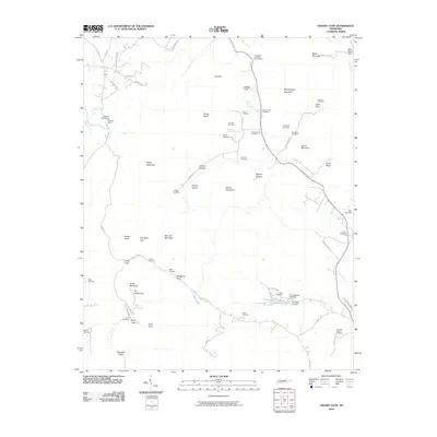 2010 Grassy Cove2010 Print · USGSCovers Crab Orchard, including Grassy Cove, Russell Shack Ridge, and other nearby areas
 - 2010 Map of Dorton, 2010 Print
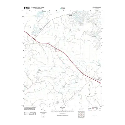 2010 Dorton2010 Print · USGSCovers Crab Orchard, including Crossville, Fairfield Glade, and other nearby areas
 - 2010 Map of Ozone, 2010 Print
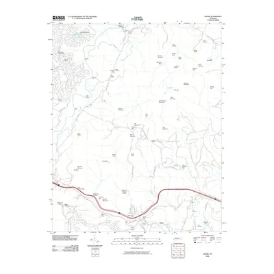 2010 Ozone2010 Print · USGSCovers Crab Orchard, including Fairfield Glade, Millstone, and other nearby areas
 - 2013 Map of Ozone, 2013 Print
 2013 Ozone2013 Print · USGSCovers Crab Orchard, including Fairfield Glade, Millstone, and other nearby areas
 - 2013 Map of Dorton, 2013 Print
 2013 Dorton2013 Print · USGSCovers Crab Orchard, including Crossville, Fairfield Glade, and other nearby areas
 - 2013 Map of Grassy Cove, 2013 Print
 2013 Grassy Cove2013 Print · USGSCovers Crab Orchard, including Grassy Cove, Russell Shack Ridge, and other nearby areas
Showing maps 1-25 of 34
Top cities near Crab Orchard
- Crossville historical maps
- Fairfield Glade historical maps
- Rockwood historical maps
- Spring City historical maps
Top neighborhoods of Crab Orchard
Frequently asked questions
- What are the different types of historical maps available for Crab Orchard?
- What is the oldest map of Crab Orchard?
- Where can I purchase historical maps of Crab Orchard for my home or office?
- Where can I download high-res historical maps of Crab Orchard?
- Are there historical topographic maps available for Crab Orchard?
- Is there historical aerial imagery available for Crab Orchard?
- Where are historical maps of Crab Orchard sourced from?