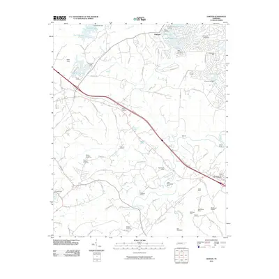
2010 Map of Dorton
USGS Topo · Published 2010About this map
The settlement of Crab Orchard anchors the southeastern corner of this Tennessee landscape, where the plateau begins to break into complex ridges and coves. The area is defined by its numerous small impoundments and family-named landmarks, reflecting a community deeply tied to its geography. Water resources are prominent, ranging from the large Saint George Lake near the community of Fairview to smaller bodies like Wildwood Lake and Hale Lake tucked into the hills.
Find a feature on this map
95 named features on this map. Tap any name to fly to it.
Don’t see what you’re looking for? This feature index may not catch every label — zoom into the map to look around manually.
Map Details
Editions of this 2010 Dorton Map
This is the sole edition of this map. No revisions or reprints were ever made.
Other maps of this area

1887 · Kingston
USGS Topo · 1:125,000

1891 · Kingston
USGS Topo · 1:125,000

1892 · Pikeville
USGS Topo · 1:125,000

1893 · Kingston
USGS Topo · 1:125,000

1895 · Wartburg
USGS Topo · 1:125,000

1895 · Pikeville
USGS Topo · 1:125,000

1896 · Wartburg
USGS Topo · 1:125,000

1897 · Standingstone
USGS Topo · 1:125,000

1898 · Standingstone
USGS Topo · 1:125,000

1912 · Crossville
USGS Topo · 1:62,500