2020s Maps of Dickson County, Tennessee
Explore 16 historic maps of Dickson County from the 2020s. These maps offer a rare glimpse into what life looked like during the 2020s — showing old roads, neighborhoods, homes, and landmarks that have changed or disappeared over time.
Whether you're researching your family's past, planning a metal detecting trip, or studying how Dickson County's landscape evolved across the 2020s, these high-resolution maps are a powerful tool for exploring the history of this region.
- Focus on a specific era: All maps on this page are from the 2020s, giving you a focused view of this time period.
- See what’s changed: Compare century-old streets, trails, and buildings to today's modern landscape using overlays and satellite layers.
- Research with precision: Use these maps for genealogy, historical research, land use analysis, or educational projects.
- View, download, or print: Maps are fully viewable online in high resolution, and can be downloaded or printed for your own records.
Start exploring Dickson County's history through authentic maps from the 2020s. This is your window into the past.
Dickson County, TN maps
(16)- 2022 Map of Ellis Mills, 2022 Print
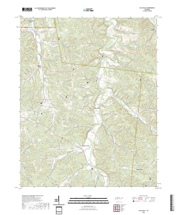 2022 Ellis Mills2022 Print · USGSThe rural borderlands where Houston, Montgomery, and Dickson counties meet are captured here in the early twenty-first century. Researchers can trace numerous family burial sites such as Bibbs - Wimberly Cem and Lyle Cem tucked away near Ellis Mills.
 - 2022 Map of Slayden, 2022 Print
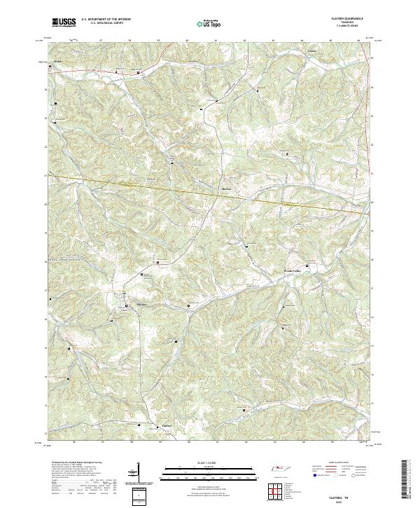 2022 Slayden2022 Print · USGSThe rural borderlands between Dickson and Montgomery counties appear here in modern detail, preserving a landscape defined by old creek valleys and family homesteads. Researchers can trace dozens of lineage sites including the Schmittou Foster Cem, Bethel Cem, and the community of Slayden.
 - 2022 Map of Tennessee City, 2022 Print
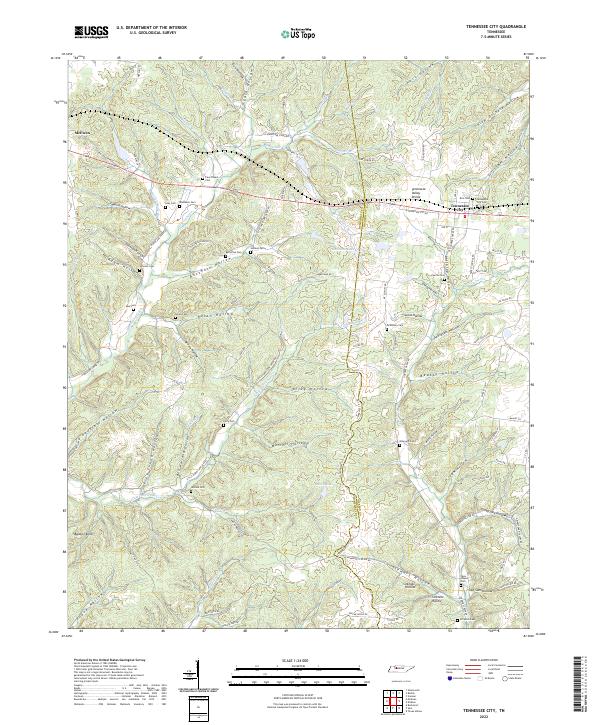 2022 Tennessee City2022 Print · USGSTennessee City and the eastern edge of McEwen are captured here in the early twenty-first century, showing the rural settlement patterns along the Tennessee Valley Divide. Researchers can trace local family history through numerous small burial sites, including Washburn Cem, McElhiney Cem, and Few Chapel Cem.
 - 2022 Map of Ruskin, 2022 Print
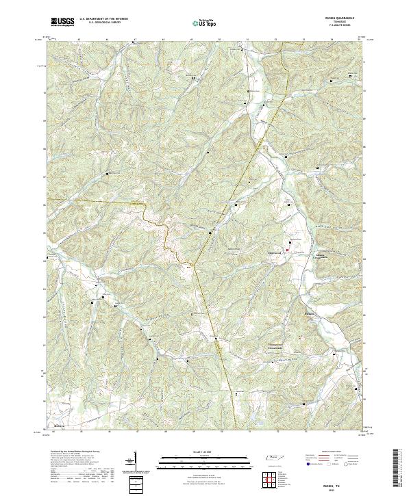 2022 Ruskin2022 Print · USGSThe tri-county border of Houston, Humphreys, and Dickson counties comes to life in this detailed topographic study of Tennessee's hollows. Genealogists can trace family roots through numerous burial sites like Coleman Brown Cem and Adams - Nesbitt Cem or locate old community hubs at Ruskin and Edgewood.
 - 2022 Map of Vanleer, 2022 Print
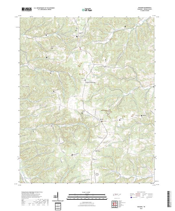 2022 Vanleer2022 Print · USGSDickson County near the modern era maintains its rural character through a web of hollows and small crossroads settlements. Researchers can locate numerous family burial sites like Bull Cem and Baggett Cem or trace the drainage of Sulphur Fork Cr.
 - 2022 Map of Cumberland Furnace, 2022 Print
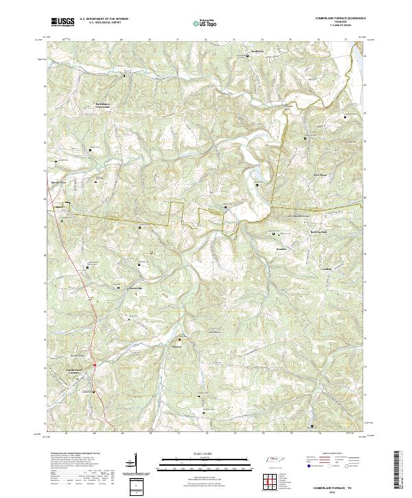 2022 Cumberland Furnace2022 Print · USGSThe rural hills at the Dickson and Montgomery county line are shown here in the early twenty-first century, preserving a landscape of family-named hollows and cemeteries. Genealogists and historians can trace lineage through the Isham J Davis Family Cem, the namesake Cumberland Furnace, and settlements like McAllisters Crossroads.
 - 2022 Map of Harpeth Valley, 2022 Print
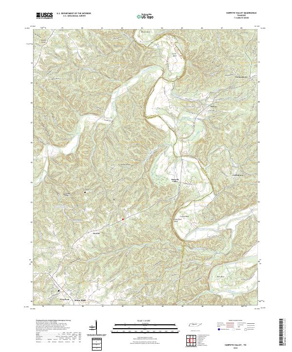 2022 Harpeth Valley2022 Print · USGSThe Harpeth River valley in the early 2020s reveals a landscape of winding watercourses and rural settlements along the Dickson and Cheatham county line. Researchers can locate family landmarks like Nosegay Cem, the community of White Bluff, and the unique Narrows of the Harpeth.
 - 2022 Map of Charlotte, 2022 Print
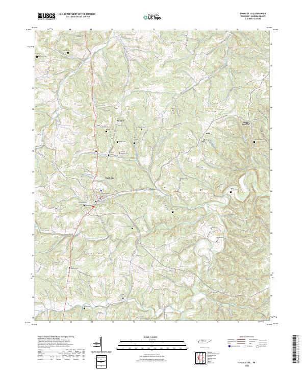 2022 Charlotte2022 Print · USGSCharlotte and the surrounding Dickson County hollows are captured in this recent survey, showcasing a landscape deeply rooted in family history. Researchers can trace ancestral sites across a network of rural roads, identifying Rock Church Cem, Dull, and the Dickson County Courthouse.
 - 2022 Map of Cheatham Dam, 2022 Print
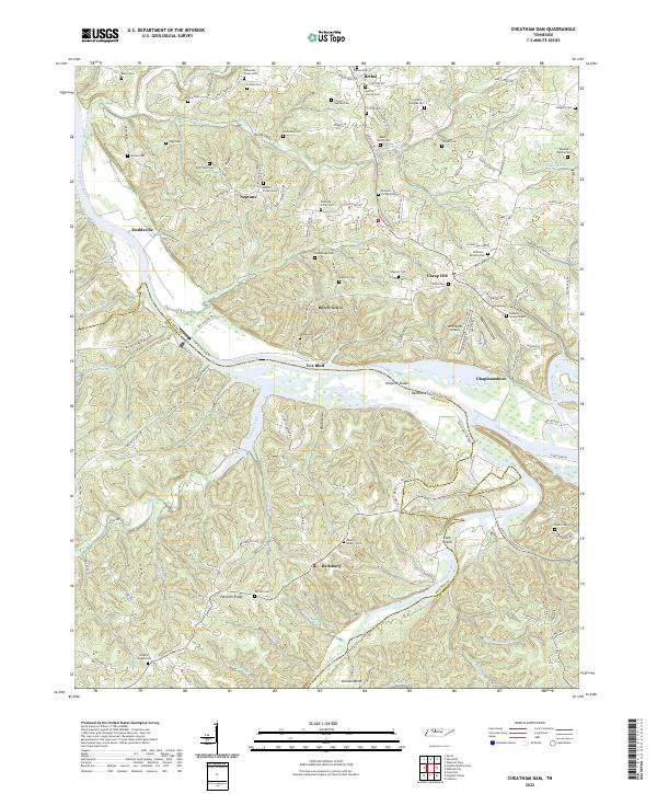 2022 Cheatham Dam2022 Print · USGSCheatham and Dickson Counties are defined by the winding Tennessee river valleys in the early 2020s. Researchers can trace rural settlement patterns near Cheap Hill and Neptune or locate river features like Harpeth Shoals and Pack Island.
 - 2022 Map of Burns, 2022 Print
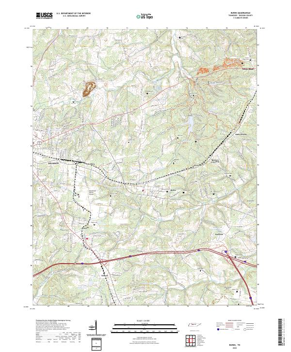 2022 Burns2022 Print · USGSMid-century settlement patterns in Dickson County are clearly etched into this landscape of deep hollows and high divides. Genealogists can trace family roots through numerous sites like Gillian Chapel Cem, Reeders Crossing, and Bakersworks.
 - 2022 Map of Dickson, 2022 Print
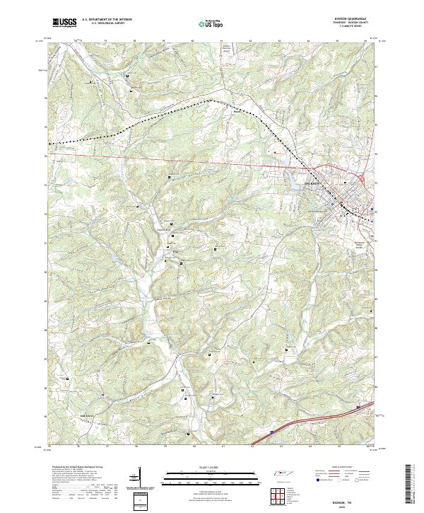 2022 Dickson2022 Print · USGSDickson and its rural surroundings are captured here at the crest of the Tennessee Valley Divide during a period of sustained regional growth. Genealogists can trace family names through dozens of burial sites like Union Cem and England Cem, or locate homesteads near England Bluff and Pond.
 - 2022 Map of White Bluff, 2022 Print
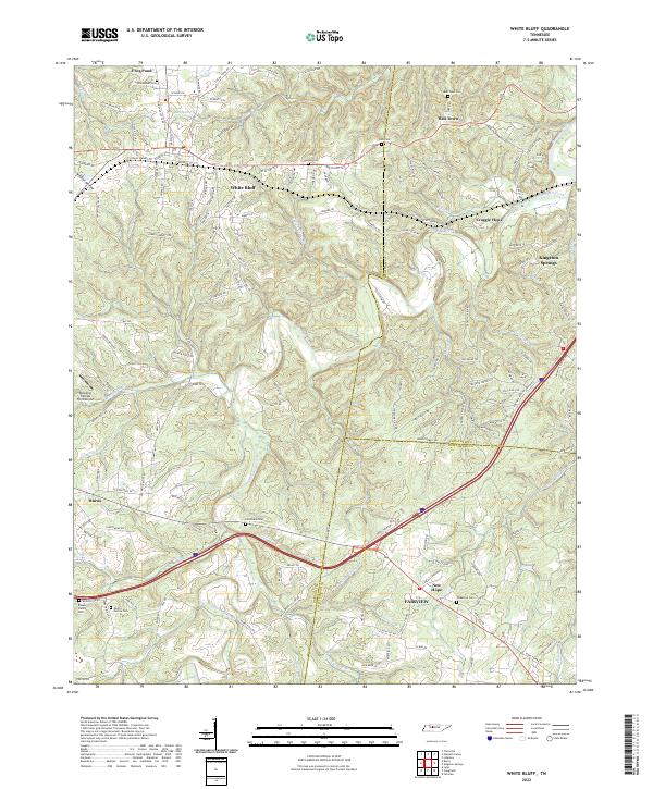 2022 White Bluff2022 Print · USGSThe rural hills of Dickson and Cheatham counties are documented here in the early twenty-first century, showing the established communities of White Bluff and Bell Town. Genealogists can trace local legacies through family landmarks like the Pinkerton Cem, Carothers Cem, and Martin Garton Cem.
 - 2022 Map of Texas Hollow, 2022 Print
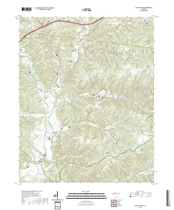 2022 Texas Hollow2022 Print · USGSHickman and Dickson counties are shown here as they appeared in the early 21st century, centered on the Piney River and the settlement of Pinewood. Genealogists can trace family burial sites including Bruce Cem, Temple Cem, and Chappell Cem.
 - 2022 Map of Spot, 2022 Print
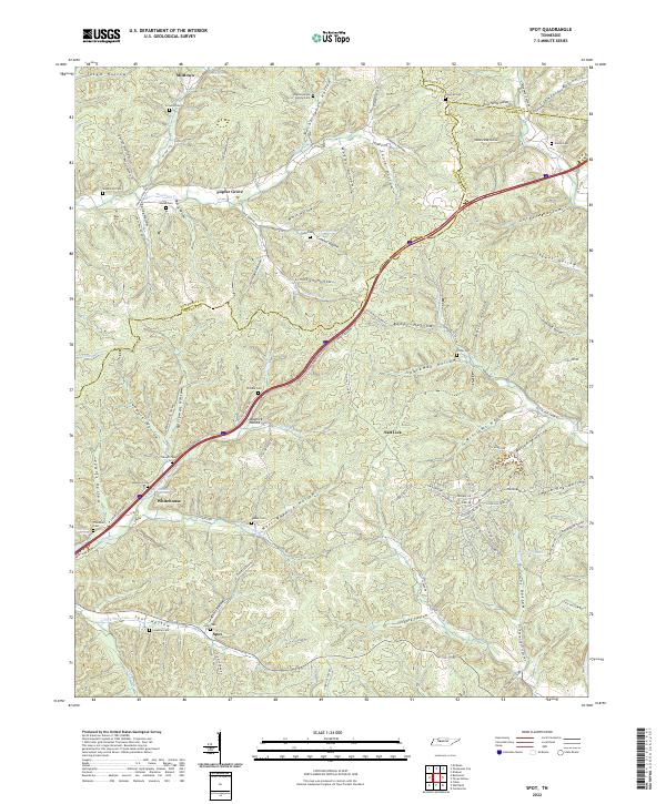 2022 Spot2022 Print · USGSMiddle Tennessee hollows at the Hickman and Dickson county line are captured here in the contemporary era. Genealogists can trace family footprints across numerous local burial sites like Wilkens Cem, Spot Cem, and the secluded Shipman Cem.
 - 2022 Map of Craigfield, 2022 Print
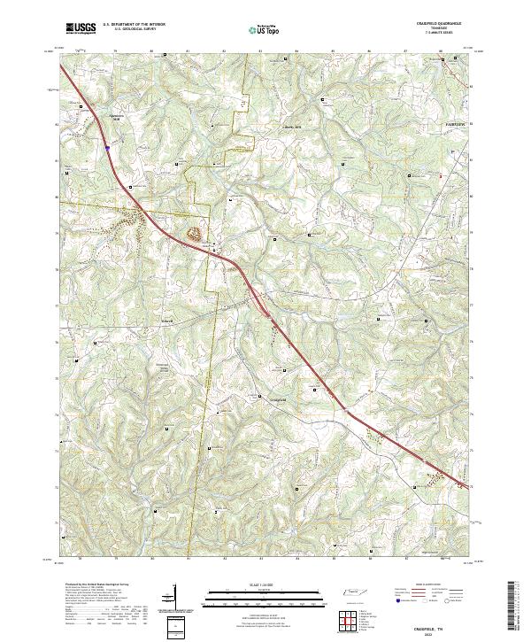 2022 Craigfield2022 Print · USGSMid-state Tennessee ridge country comes into focus here during the early twenty-first century, showing the rural communities between the forks of the Turnbull and Harpeth. Genealogists can trace family burial sites like Jack Lampley Cem and Tomlinson Cem near Craigfield.
 - 2022 Map of Lyles, 2022 Print
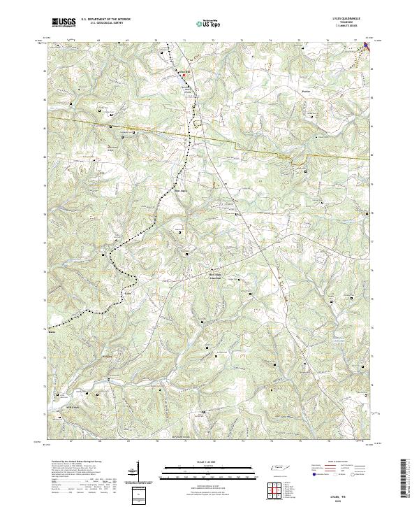 2022 Lyles2022 Print · USGSHickman and Dickson counties are captured here in the early twenty-first century, showing the rural communities of Lyles and Bon Aqua. Genealogists can locate family landmarks like Cedar Hill Cem, Missionary Ridge, and the Bon Aqua Springs.
End of results
Showing maps 1-16 of 16
Top cities of Dickson County
- Dickson historical maps
- White Bluff historical maps
- Burns historical maps
- Charlotte historical maps
- Vanleer historical maps
- Slayden historical maps
Frequently asked questions
- What are the different types of historical maps available for Dickson County?
- What is the oldest map of Dickson County?
- Where can I purchase historical maps of Dickson County for my home or office?
- Where can I download high-res historical maps of Dickson County?
- Are there historical topographic maps available for Dickson County?
- Is there historical aerial imagery available for Dickson County?
- Where are historical maps of Dickson County sourced from?