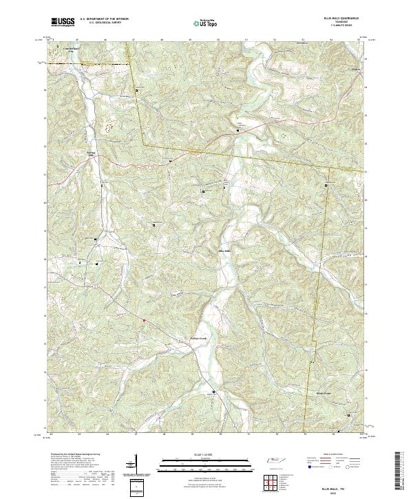
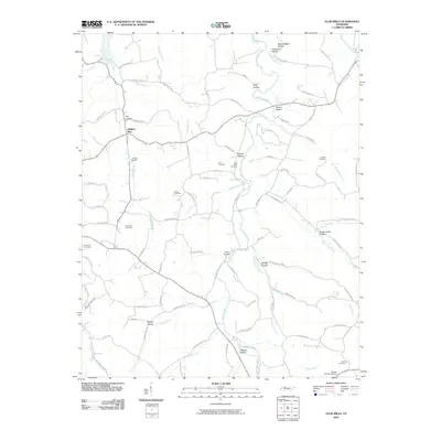
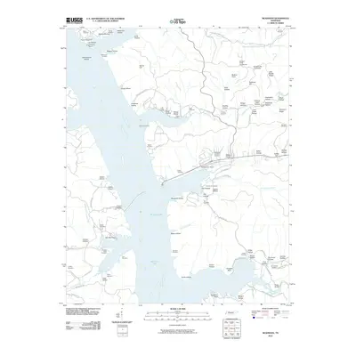
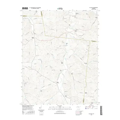
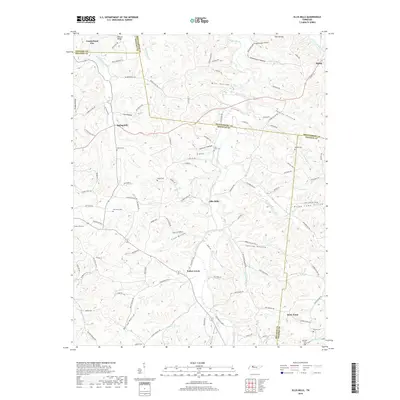
2022 Map of Ellis Mills
USGS Topo · Published 2022About this map
Yellow Creek and its many winding tributaries carve through the heart of this landscape where the borders of Houston, Montgomery, Dickson, and Stewart counties converge. The area is defined by a dense network of named hollows, including Tanbark Hollow, Mint Hollow, and Bushwhacker Hollow, which dictate the placement of rural homesteads and narrow winding roads like Billy Parchman Rd.
Find a feature on this map
123 named features on this map. Tap any name to fly to it.
Don’t see what you’re looking for? This feature index may not catch every label — zoom into the map to look around manually.
Map Details
Editions of this 2022 Ellis Mills Map
This is the sole edition of this map. No revisions or reprints were ever made.
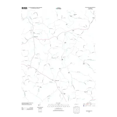
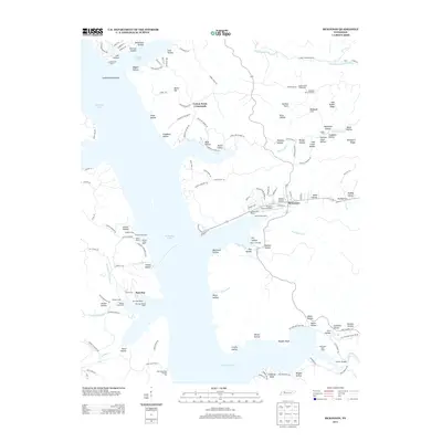
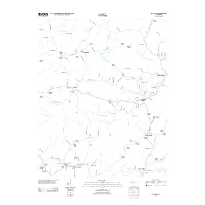
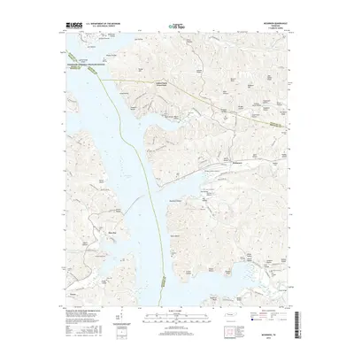
Historical Maps of Cumberland City Through Time
21 maps found
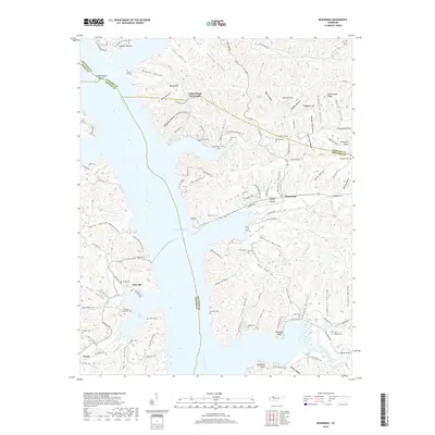
1936 McKinnon
Houston County, TN
1936 Stewart
Houston County, TN
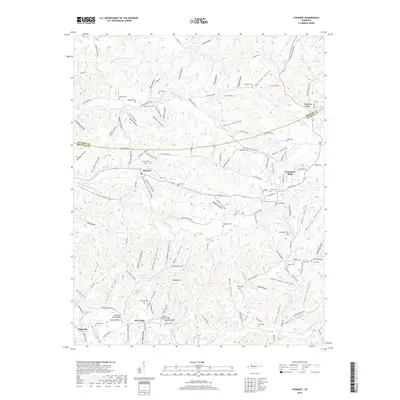
1936 Tantrough Hollow
Houston County, TN
1950 Mc Kinnon
Houston County, TN
1950 Stewart
Houston County, TN
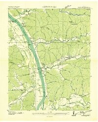
1965 Ellis Mills
Houston County, TN
2010 Ellis Mills
Houston County, TN
2010 McKinnon
Houston County, TN

2010 Stewart
Houston County, TN
2013 Ellis Mills
Houston County, TN
2013 McKinnon
Houston County, TN
2013 Stewart
Houston County, TN
2016 Ellis Mills
Houston County, TN
2016 McKinnon
Houston County, TN
2016 Stewart
Houston County, TN
2019 Ellis Mills
Houston County, TN
2019 McKinnon
Houston County, TN
2019 Stewart
Houston County, TN
2022 Ellis Mills
Houston County, TN
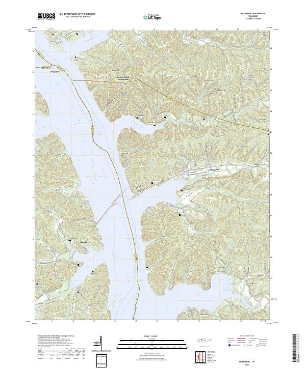
2022 McKinnon
Houston County, TN
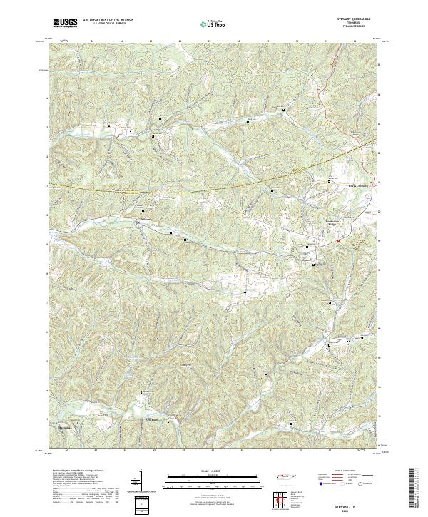
2022 Stewart
Houston County, TN