2000s (21st Century) Maps of Newbern, Tennessee
Explore 20 historic maps of Newbern from the 2000s (21st Century). These maps offer a rare glimpse into what life looked like during the 2000s — showing old roads, neighborhoods, homes, and landmarks that have changed or disappeared over time.
Whether you're researching your family's past, planning a metal detecting trip, or studying how Newbern's landscape evolved across the 2000s, these high-resolution maps are a powerful tool for exploring the history of this region.
- Focus on a specific era: All maps on this page are from the 2000s, giving you a focused view of this time period.
- See what’s changed: Compare century-old streets, trails, and buildings to today's modern landscape using overlays and satellite layers.
- Research with precision: Use these maps for genealogy, historical research, land use analysis, or educational projects.
- View, download, or print: Maps are fully viewable online in high resolution, and can be downloaded or printed for your own records.
Start exploring Newbern's history through authentic maps from the 2000s. This is your window into the past.
Newbern, TN maps
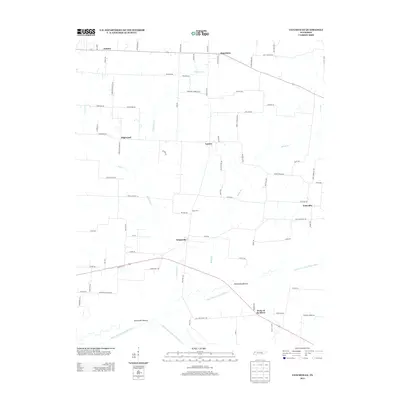
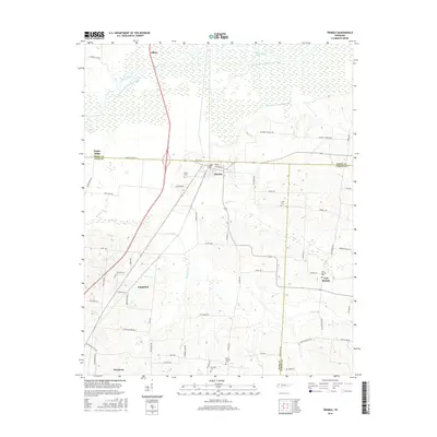
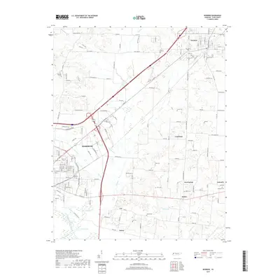
(20)- 2010 Map of Trimble, 2010 Print
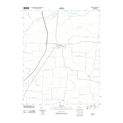 2010 Trimble2010 Print · USGSCovers Newbern, including Obion, Cool Springs, and other nearby areas
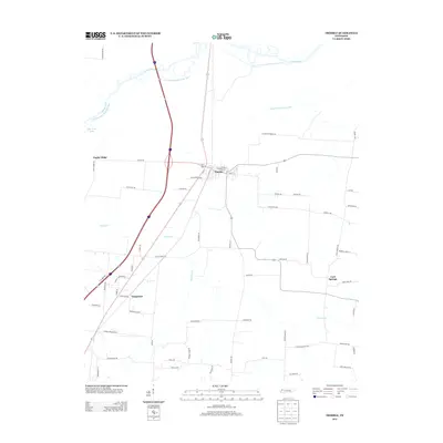
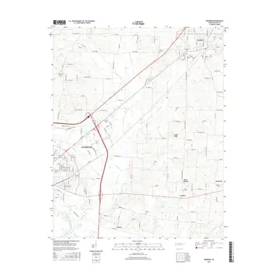
 - 2010 Map of Newbern, 2010 Print
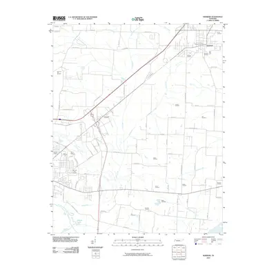 2010 Newbern2010 Print · USGSCovers Newbern, including Dyersburg, Rehoboth, and other nearby areas
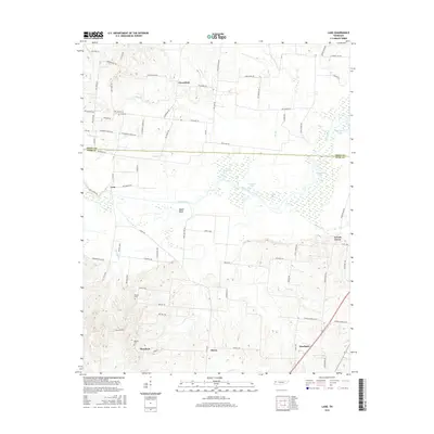
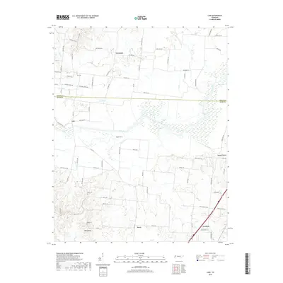
 - 2010 Map of Lane, 2010 Print
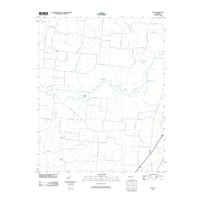 2010 Lane2010 Print · USGSCovers Newbern, including Lane, Locust Grove, and other nearby areas
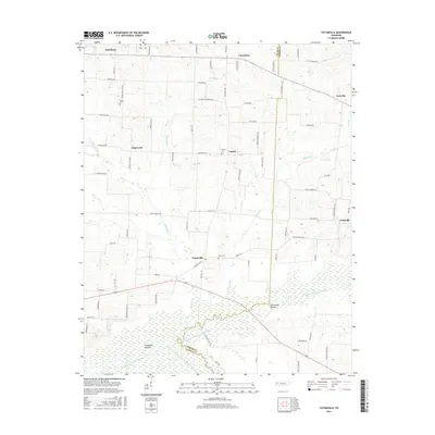
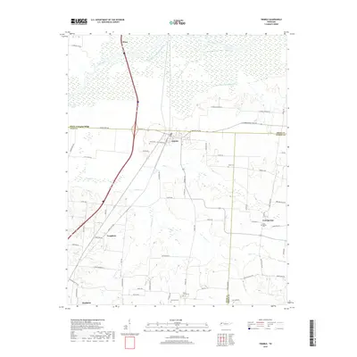
 - 2010 Map of Tatumville, 2010 Print
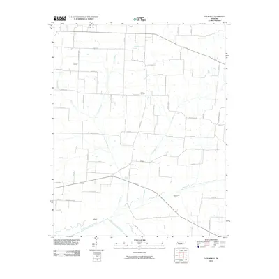 2010 Tatumville2010 Print · USGSCovers Newbern, including Yorkville, Forks of the River, and other nearby areas
 - 2013 Map of Tatumville, 2013 Print
 2013 Tatumville2013 Print · USGSCovers Newbern, including Yorkville, Forks of the River, and other nearby areas
 - 2013 Map of Lane, 2013 Print
 2013 Lane2013 Print · USGSCovers Newbern, including Lane, Locust Grove, and other nearby areas
 - 2013 Map of Trimble, 2013 Print
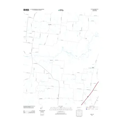
 2013 Trimble2013 Print · USGSCovers Newbern, including Obion, Cool Springs, and other nearby areas
 - 2013 Map of Newbern, 2013 Print
 2013 Newbern2013 Print · USGSCovers Newbern, including Dyersburg, Rehoboth, and other nearby areas
 - 2016 Map of Trimble, 2016 Print
 2016 Trimble2016 Print · USGSCovers Newbern, including Obion, Cool Springs, and other nearby areas
 - 2016 Map of Lane, 2016 Print
 2016 Lane2016 Print · USGSCovers Newbern, including Lane, Locust Grove, and other nearby areas
 - 2016 Map of Tatumville, 2016 Print
 2016 Tatumville2016 Print · USGSCovers Newbern, including Yorkville, Forks of the River, and other nearby areas
 - 2016 Map of Newbern, 2016 Print
 2016 Newbern2016 Print · USGSCovers Newbern, including Dyersburg, Rehoboth, and other nearby areas
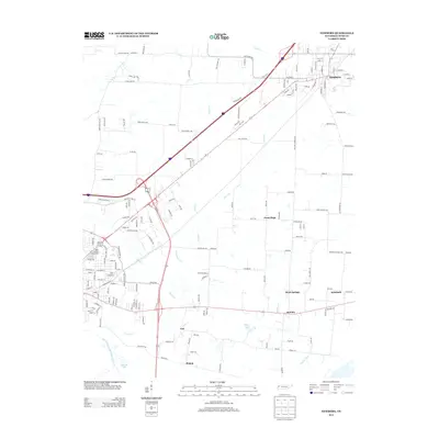
 - 2019 Map of Newbern, 2019 Print
 2019 Newbern2019 Print · USGSCovers Newbern, including Dyersburg, Rehoboth, and other nearby areas
 - 2019 Map of Lane, 2019 Print
 2019 Lane2019 Print · USGSCovers Newbern, including Lane, Locust Grove, and other nearby areas
 - 2019 Map of Trimble, 2019 Print
 2019 Trimble2019 Print · USGSCovers Newbern, including Obion, Cool Springs, and other nearby areas
 - 2019 Map of Tatumville, 2019 Print
 2019 Tatumville2019 Print · USGSCovers Newbern, including Yorkville, Forks of the River, and other nearby areas
 - 2022 Map of Newbern, 2022 Print
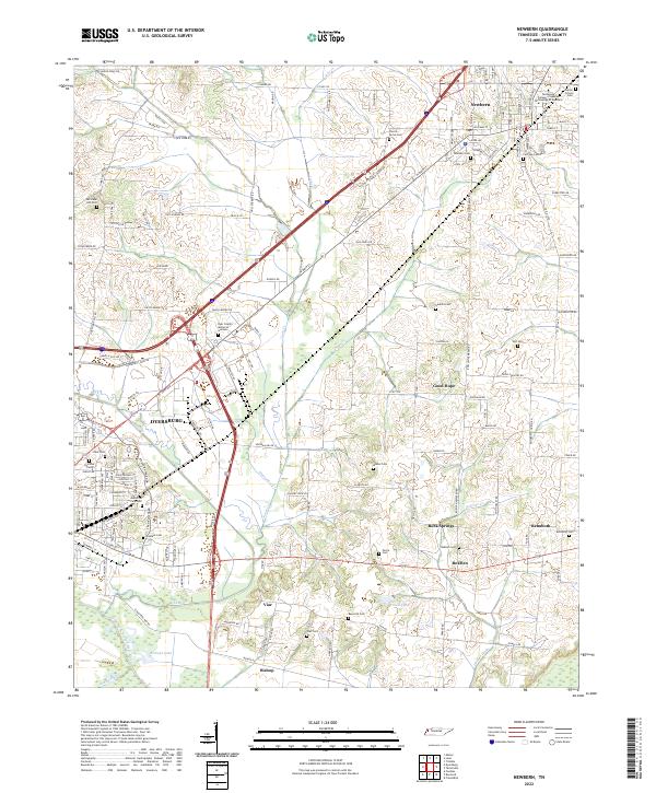 2022 Newbern2022 Print · USGSDyer County is documented here at a moment when established urban centers and rural hamlets like RoEllen and Viar remain connected by historic creek-side routes. Researchers can trace ancestral locations through a dense network of burial sites, including Poplar Grove Cem, Self Cem, and Memorial Park Cem.
 - 2022 Map of Tatumville, 2022 Print
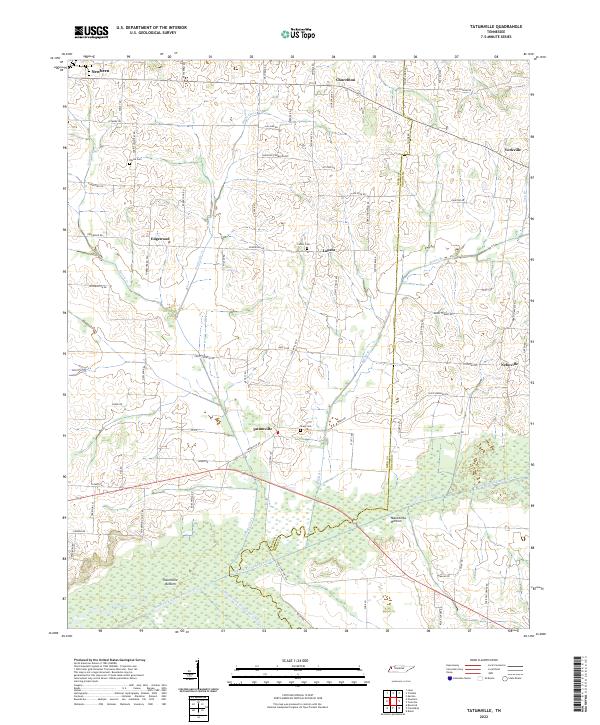 2022 Tatumville2022 Print · USGSWestern Tennessee’s agricultural heartland is captured here in the early twenty-first century, showing a landscape defined by river bottoms and rural crossroads. Local historians can trace family lines and old homesteads near Tatumville, Atkins Cem, and Macedonia Bottom.
 - 2022 Map of Lane, 2022 Print
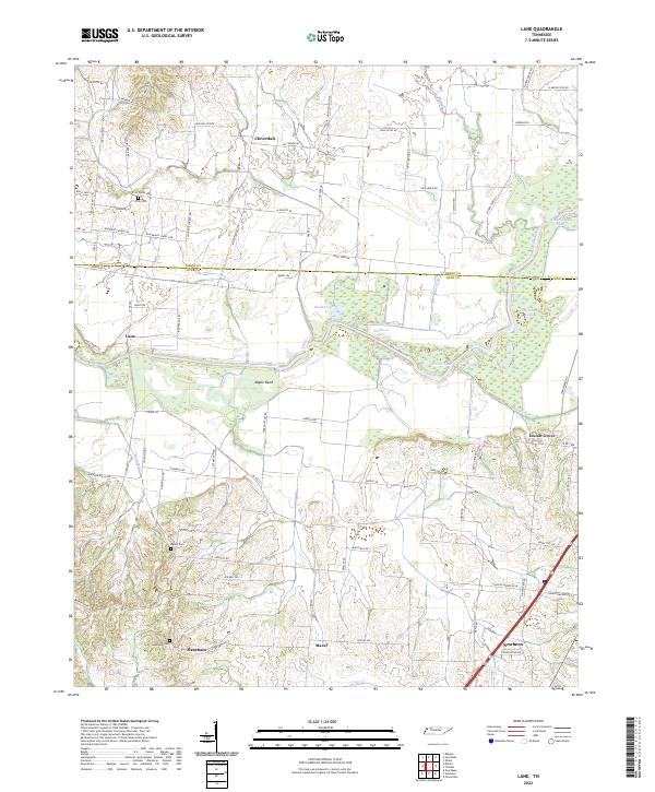 2022 Lane2022 Print · USGSThe Obion River valley and the rural uplands of West Tennessee come into focus in this recent survey. Local historians can trace family roots through several landmarks and burial sites, including Zion Cem, Locust Grove, and the community of Newbern.
 - 2022 Map of Trimble, 2022 Print
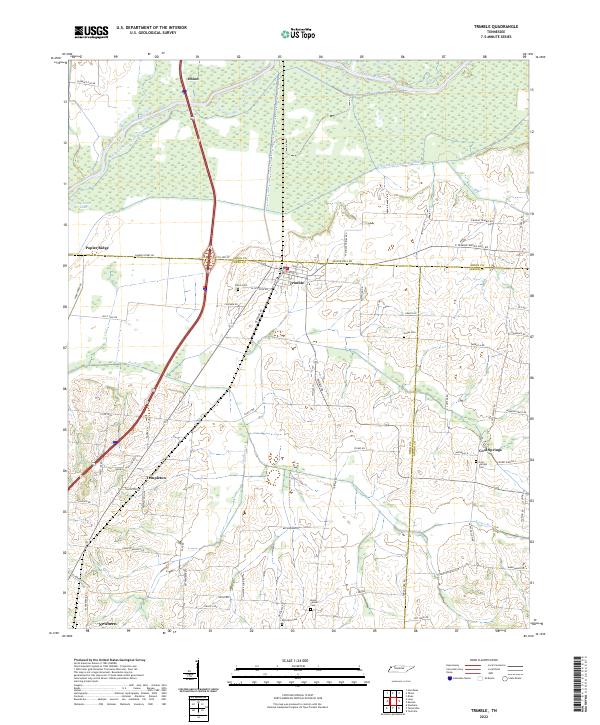 2022 Trimble2022 Print · USGSWest Tennessee’s river bottomlands and rural crossroads are meticulously documented in this recent survey. Genealogists and local historians can trace family-named landmarks and old burial grounds like Jones Cem and Cool Springs Cem near the Obion River.
End of results
Showing maps 1-20 of 20
Top cities near Newbern
- Dyersburg historical maps
- Halls historical maps
- Ridgely historical maps
- Troy historical maps
- Obion historical maps
- Friendship historical maps
See more
Frequently asked questions
- What are the different types of historical maps available for Newbern?
- What is the oldest map of Newbern?
- Where can I purchase historical maps of Newbern for my home or office?
- Where can I download high-res historical maps of Newbern?
- Are there historical topographic maps available for Newbern?
- Is there historical aerial imagery available for Newbern?
- Where are historical maps of Newbern sourced from?