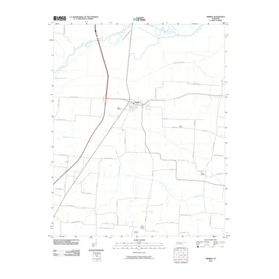
2010 Map of Trimble
USGS Topo · Published 2010About this map
The town of Trimble serves as the focal point of this Northwest Tennessee landscape, situated where the terrain begins its transition toward the river bottomlands. The northern portion of the quadrangle is defined by the winding course of the Obion River and the engineered modifications of the Old Obion River Drainage Canal, reflecting a history of water management to support local agriculture. The rural character of the area is emphasized by a high density of family-named roadways and landmarks, such as Sharps Ferry Rd and McDonnel Rd. Genealogists will find significant value in the distribution of local burial sites, including Pierce Cemetery, Jones Cemetery, and Mount Carmel Cemetery, which are scattered throughout the agricultural parcels. Smaller waterways like Reeds Creek and Mulherin Creek drain the surrounding fields, while Guy Jones Lake provides a distinct hydrological feature in the western portion of the survey.
Find a feature on this map
47 named features on this map. Tap any name to fly to it.
Don’t see what you’re looking for? This feature index may not catch every label — zoom into the map to look around manually.
Map Details
Editions of this 2010 Trimble Map
This is the sole edition of this map. No revisions or reprints were ever made.
Other maps of this area

1925 · Reelfoot Lake
USGS Topo · 1:62,500

1939 · Reelfoot Lake
USGS Topo · 1:62,500

1939 · Dyersburg
USGS Topo · 1:62,500

1950 · Obion
USGS Topo · 1:24,000

1950 · Rives
USGS Topo · 1:24,000

1951 · Obion
USGS Topo · 1:24,000

1951 · Rives
USGS Topo · 1:24,000

1952 · Newbern
USGS Topo · 1:24,000

1952 · Lane
USGS Topo · 1:24,000

1956 · Reelfoot Lake
USGS Topo · 1:62,500