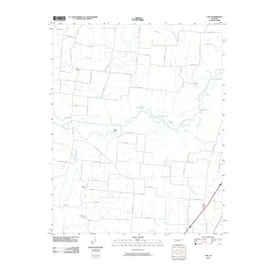
2010 Map of Lane
USGS Topo · Published 2010About this map
The Obion River meanders through this West Tennessee landscape, creating a complex network of oxbows and riparian wetlands. The river's historical shifts are visible in the numerous namesake water bodies along its course, such as Horseshoe Lake, Old River Lake, and Round Lake, which mark previous channels. This area is characterized by a high concentration of water features including Guy Jones Lake and Goose Lake, alongside several named tributaries like Zion Creek and Reeds Creek.
Find a feature on this map
65 named features on this map. Tap any name to fly to it.
Don’t see what you’re looking for? This feature index may not catch every label — zoom into the map to look around manually.
Map Details
Editions of this 2010 Lane Map
This is the sole edition of this map. No revisions or reprints were ever made.
Other maps of this area

1925 · Reelfoot Lake
USGS Topo · 1:62,500

1939 · Reelfoot Lake
USGS Topo · 1:62,500

1939 · Dyersburg
USGS Topo · 1:62,500

1950 · Obion
USGS Topo · 1:24,000

1951 · Obion
USGS Topo · 1:24,000

1952 · Newbern
USGS Topo · 1:24,000

1952 · Lane
USGS Topo · 1:24,000

1952 · Dyersburg
USGS Topo · 1:24,000

1952 · Miston
USGS Topo · 1:24,000

1956 · Reelfoot Lake
USGS Topo · 1:62,500