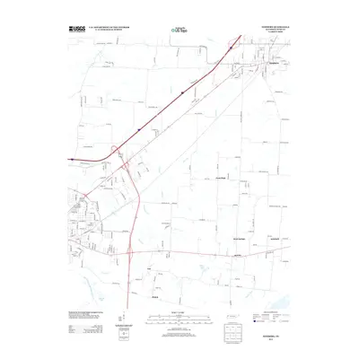
2013 Map of Newbern
USGS Topo · Published 2013About this map
Newbern serves as the primary urban center in this corner of Northwest Tennessee, where the intersection of state highways and local roads defines the community structure. The landscape is characterized by its drainage into the North Fork Forked Deer River, with several distinct small settlements such as Roellen, Rehoboth, and Good Hope scattered across the surrounding agricultural lands. Notable local landmarks include the Dyer County Fairgrounds and bodies of water like Pillow Lake and Bishops Lake.
Find a feature on this map
170 named features on this map. Tap any name to fly to it.
Don’t see what you’re looking for? This feature index may not catch every label — zoom into the map to look around manually.
Map Details
Editions of this 2013 Newbern Map
This is the sole edition of this map. No revisions or reprints were ever made.
Other maps of this area

1939 · Dyersburg
USGS Topo · 1:62,500

1939 · Halls
USGS Topo · 1:62,500

1952 · Bonicord
USGS Topo · 1:24,000

1952 · Newbern
USGS Topo · 1:24,000

1952 · Lane
USGS Topo · 1:24,000

1952 · Dyersburg
USGS Topo · 1:24,000

1952 · Miston
USGS Topo · 1:24,000

1952 · Fowlkes
USGS Topo · 1:24,000

1956 · Dyersburg
USGS Topo · 1:250,000

1956 · Blytheville
USGS Topo · 1:250,000