2000s (21st Century) Maps of Fall Branch, Tennessee
Explore 10 historic maps of Fall Branch from the 2000s (21st Century). These maps offer a rare glimpse into what life looked like during the 2000s — showing old roads, neighborhoods, homes, and landmarks that have changed or disappeared over time.
Whether you're researching your family's past, planning a metal detecting trip, or studying how Fall Branch's landscape evolved across the 2000s, these high-resolution maps are a powerful tool for exploring the history of this region.
- Focus on a specific era: All maps on this page are from the 2000s, giving you a focused view of this time period.
- See what’s changed: Compare century-old streets, trails, and buildings to today's modern landscape using overlays and satellite layers.
- Research with precision: Use these maps for genealogy, historical research, land use analysis, or educational projects.
- View, download, or print: Maps are fully viewable online in high resolution, and can be downloaded or printed for your own records.
Start exploring Fall Branch's history through authentic maps from the 2000s. This is your window into the past.
Fall Branch, TN maps
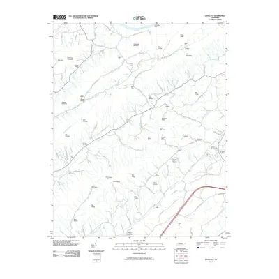
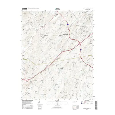
(10)- 2010 Map of Sullivan Gardens, 2010 Print
 2010 Sullivan Gardens2010 Print · USGSCovers Fall Branch, including Johnson City, Kingsport, and other nearby areas
 - 2010 Map of Lovelace, 2010 Print
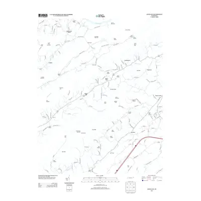
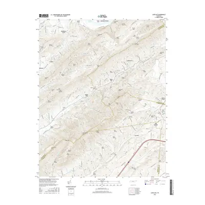
 2010 Lovelace2010 Print · USGSCovers Fall Branch, including Kingsport, Church Hill, and other nearby areas
 - 2013 Map of Sullivan Gardens, 2013 Print
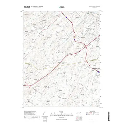
 2013 Sullivan Gardens2013 Print · USGSCovers Fall Branch, including Johnson City, Kingsport, and other nearby areas
 - 2013 Map of Lovelace, 2013 Print
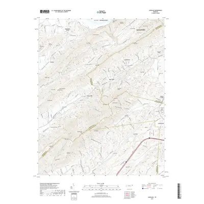
 2013 Lovelace2013 Print · USGSCovers Fall Branch, including Kingsport, Church Hill, and other nearby areas
 - 2016 Map of Lovelace, 2016 Print
 2016 Lovelace2016 Print · USGSCovers Fall Branch, including Kingsport, Church Hill, and other nearby areas
 - 2016 Map of Sullivan Gardens, 2016 Print
 2016 Sullivan Gardens2016 Print · USGSCovers Fall Branch, including Johnson City, Kingsport, and other nearby areas
 - 2019 Map of Sullivan Gardens, 2019 Print
 2019 Sullivan Gardens2019 Print · USGSCovers Fall Branch, including Johnson City, Kingsport, and other nearby areas
 - 2019 Map of Lovelace, 2019 Print
 2019 Lovelace2019 Print · USGSCovers Fall Branch, including Kingsport, Church Hill, and other nearby areas
 - 2022 Map of Sullivan Gardens, 2022 Print
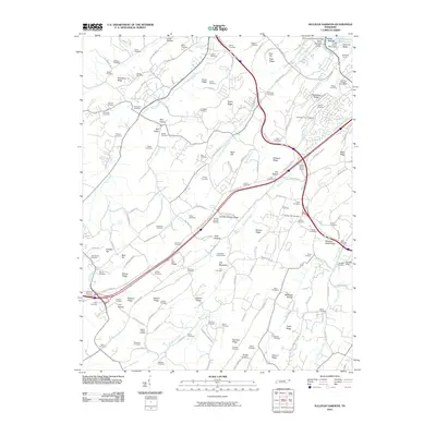
 2022 Sullivan Gardens2022 Print · USGSThe valleys southwest of Kingsport come alive in this survey, showcasing the rural communities of Sullivan Gardens and Haws Crossroads. Genealogists can trace family heritage through the Kincheloe-Cox Cem, Kincheloe Mill, and the Peoples Sch.
 - 2022 Map of Lovelace, 2022 Print
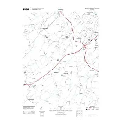
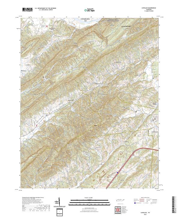 2022 Lovelace2022 Print · USGSNortheast Tennessee's ridge-and-valley landscape is captured here in recent years, where the Holston River meets the foothills of Bays Mountain. Researchers can find old family burial sites like Yankee Cem and landmarks such as Dykes Mill or Wire Knob.
End of results
Showing maps 1-10 of 10
Top cities near Fall Branch
- Johnson City historical maps
- Kingsport historical maps
- Greeneville historical maps
- Bloomingdale historical maps
- Church Hill historical maps
- Jonesborough historical maps
See more
Frequently asked questions
- What are the different types of historical maps available for Fall Branch?
- What is the oldest map of Fall Branch?
- Where can I purchase historical maps of Fall Branch for my home or office?
- Where can I download high-res historical maps of Fall Branch?
- Are there historical topographic maps available for Fall Branch?
- Is there historical aerial imagery available for Fall Branch?
- Where are historical maps of Fall Branch sourced from?