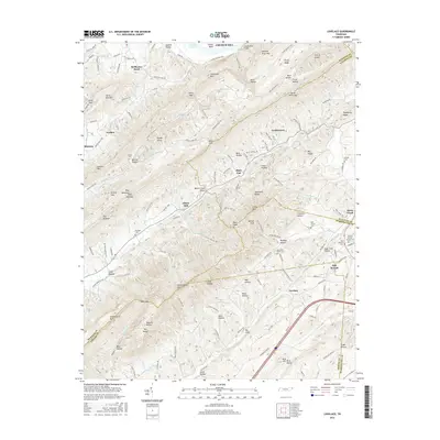
2016 Map of Lovelace
USGS Topo · Published 2016About this map
McPheeter Bend and the Cherokee Lake shoreline define the northern reaches of this East Tennessee landscape, where the ridges of Holston River Mtn and Cherry Knobs overlook a complex network of valleys. The rural character of the region is punctuated by small settlements and family landmarks, including Conkintown and the community of Fall Branch at the junction of several county lines.
Find a feature on this map
159 named features on this map. Tap any name to fly to it.
Don’t see what you’re looking for? This feature index may not catch every label — zoom into the map to look around manually.
Map Details
Editions of this 2016 Lovelace Map
This is the sole edition of this map. No revisions or reprints were ever made.
Other maps of this area

1892 · Greeneville
USGS Topo · 1:125,000

1894 · Estillville
USGS Topo · 1:125,000

1896 · Greeneville
USGS Topo · 1:125,000

1904 · Greeneville
USGS Topo · 1:125,000

1935 · Surgoinsville
USGS Topo · 1:48,000

1935 · Baileyton
USGS Topo · 1:24,000

1935 · Lovelace
USGS Topo · 1:24,000

1935 · Sullivan Gardens
USGS Topo · 1:24,000

1935 · Moggasin
USGS Topo · 1:48,000

1935 · Leesburg
USGS Topo · 1:24,000