2020s Maps of Fayette County, Tennessee
Explore 30 historic maps of Fayette County from the 2020s. These maps offer a rare glimpse into what life looked like during the 2020s — showing old roads, neighborhoods, homes, and landmarks that have changed or disappeared over time.
Whether you're researching your family's past, planning a metal detecting trip, or studying how Fayette County's landscape evolved across the 2020s, these high-resolution maps are a powerful tool for exploring the history of this region.
- Focus on a specific era: All maps on this page are from the 2020s, giving you a focused view of this time period.
- See what’s changed: Compare century-old streets, trails, and buildings to today's modern landscape using overlays and satellite layers.
- Research with precision: Use these maps for genealogy, historical research, land use analysis, or educational projects.
- View, download, or print: Maps are fully viewable online in high resolution, and can be downloaded or printed for your own records.
Start exploring Fayette County's history through authentic maps from the 2020s. This is your window into the past.
Fayette County, TN maps
(30)- 2021 Map of Byhalia NW, 2021 Print
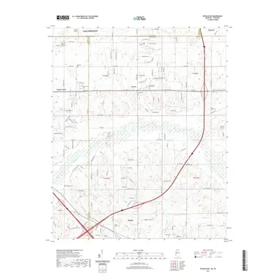 2021 Byhalia NW2021 Print · USGSCovers Fayette County, including Piperton, Byhalia, and other nearby areas
 - 2021 Map of Mount Pleasant, 2021 Print
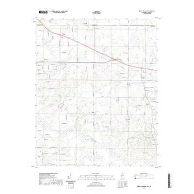 2021 Mount Pleasant2021 Print · USGSCovers Fayette County, including Piperton, Cayce, and other nearby areas
 - 2021 Map of Slayden, 2021 Print
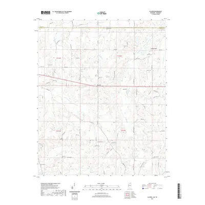 2021 Slayden2021 Print · USGSCovers Fayette County, including Early Grove, Slayden, and other nearby areas
 - 2021 Map of Lamar, 2021 Print
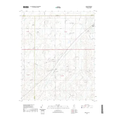 2021 Lamar2021 Print · USGSCovers Fayette County, including Lamar, Michigan City, and other nearby areas
 - 2021 Map of Canaan, 2021 Print
 2021 Canaan2021 Print · USGSCovers Fayette County, including Canaan, Spring Hill, and other nearby areas
 - 2022 Map of Grand Junction, 2022 Print
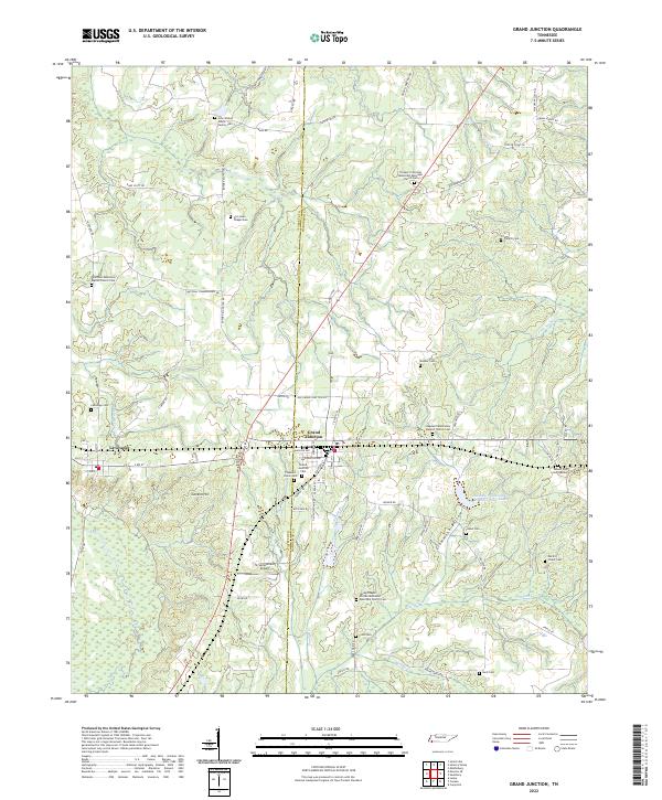 2022 Grand Junction2022 Print · USGSGrand Junction and La Grange are depicted in this recent survey, capturing the agricultural character of the Tennessee borderlands. Genealogists can locate numerous burial sites including John Walker Jones Family Cem and Spring Chapel African Methodist Episcopal Church Cem.
 - 2022 Map of Gallaway, 2022 Print
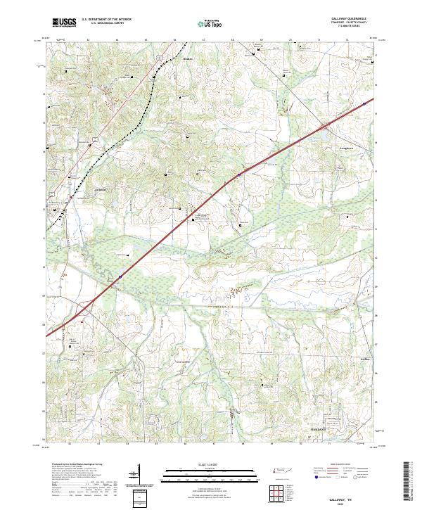 2022 Gallaway2022 Print · USGSThis Fayette County landscape reflects a modern era of agricultural management and deep-rooted community history. Researchers can trace dozens of family and church burial sites, including the Clifton Summit Cem and Dar ar-Rahma Muslim Cem, alongside the engineered paths of the Loosahatchie River Canal.
 - 2022 Map of Mason, 2022 Print
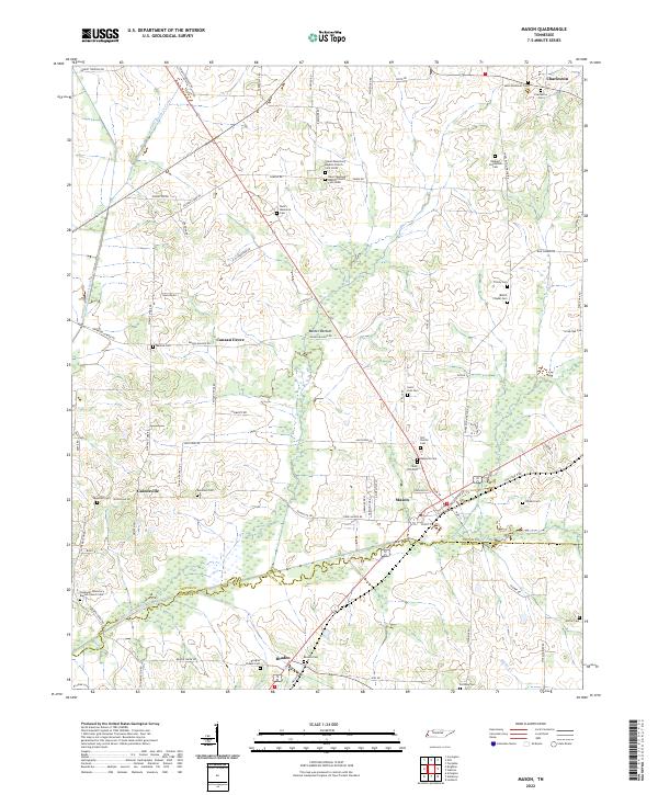 2022 Mason2022 Print · USGSThe Tipton and Fayette county line comes alive in this 2022 survey of the rural communities and canal systems of western Tennessee. Trace family roots at Redbud Plantation Cem, Canaan Grove, or Salem Missionary Baptist Church Cem North among the bottomlands of Baxter Bottom.
 - 2022 Map of Moscow SE, 2022 Print
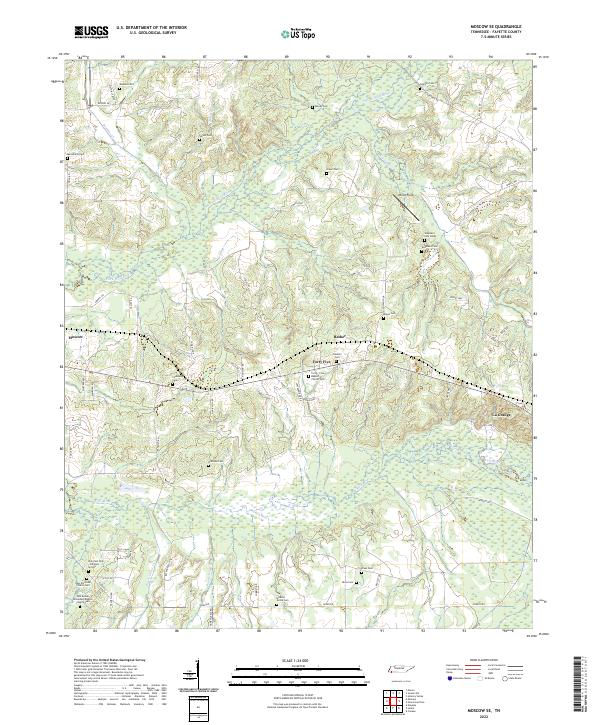 2022 Moscow SE2022 Print · USGSSoutheast Fayette County is defined by the winding Wolf River and its tributaries during the early twenty-first century. Genealogists and historians can trace an incredible density of family and church burial sites, from Watkins Cem to Forty-Five Baptist Church Cem.
 - 2022 Map of Lambert, 2022 Print
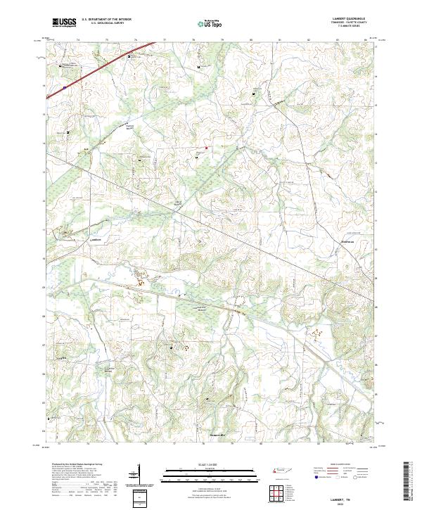 2022 Lambert2022 Print · USGSFayette County's rural landscape is captured here in the early twenty-first century, showing a region defined by extensive canal engineering and scattered family settlements. Genealogists can trace family heritage through sites like Maclin Quarter Cem, Patterson Cem, and the Belmont Christian Methodist Episcopal Church Cem.
 - 2022 Map of Macon, 2022 Print
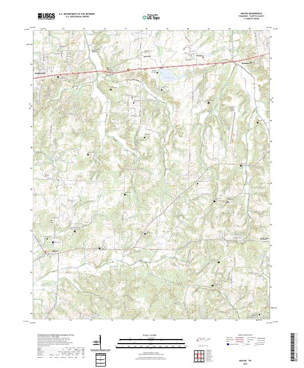 2022 Macon2022 Print · USGSFayette County is captured in the early 2020s, revealing a landscape where modern infrastructure meets deep-rooted rural history. Genealogists can trace family names across a high density of burial sites like Lewis Parrot Cem and Macon Cem, or locate historic gathering places such as Macon Missionary Baptist Church.
 - 2022 Map of Stanton, 2022 Print
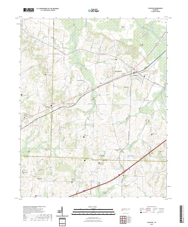 2022 Stanton2022 Print · USGSWest Tennessee’s agricultural and wetland borders are revealed here in the modern era, centered on the historic rail town of Stanton. Researchers can trace dozens of family and community sites, including Chote Cem, Wesley Cem, and Fredonia Memorial Gardens.
 - 2022 Map of Rossville, 2022 Print
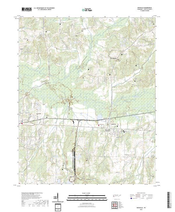 2022 Rossville2022 Print · USGSFayette County's river-bottom lands and small settlements are captured here in the early twenty-first century. Researchers can trace numerous family burial sites and rural communities like Elba, New Bethel, and the historic grounds of Pleasants Christian Church Cem.
 - 2022 Map of Brighton, 2022 Print
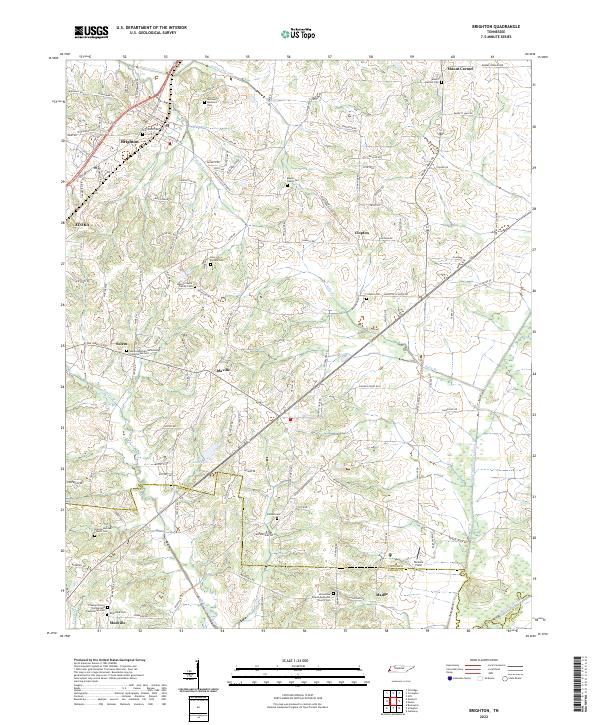 2022 Brighton2022 Print · USGSThe outskirts of Tipton and Shelby counties are shown here in the early twenty-first century, featuring a landscape defined by historic family settlements. Genealogists can trace roots through numerous local landmarks, from the Banyan Payne Family Cem to the rural centers of Idaville and Mudville.
 - 2022 Map of Laconia, 2022 Print
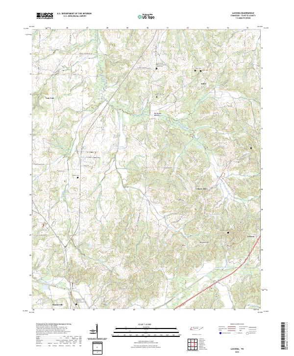 2022 Laconia2022 Print · USGSFayette County's rural character is on full display in this modern survey of the Loosahatchie River basin. Local historians can trace family roots at Mount Olive Missionary Baptist Church or explore the uniquely named Yum Yum and Laconia.
 - 2022 Map of Arlington, 2022 Print
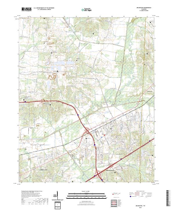 2022 Arlington2022 Print · USGSArlington and the northeast corner of Shelby County appear in this recent survey, showing a landscape defined by the Loosahatchie River Canal and the CSX railroad. Genealogists can trace deep local roots through landmarks like Gratitude Church Cem, Needham's Airport, and the Arlington Cem.
 - 2022 Map of Hillville, 2022 Print
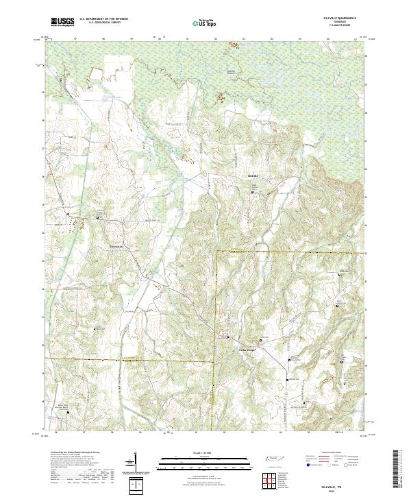 2022 Hillville2022 Print · USGSWest Tennessee's rural landscape at the intersection of Haywood and Hardeman counties reveals a network of historic river bottoms and family settlements. Researchers can trace genealogical roots through numerous sites like Simon Chapel Cem, Eurekaton, and the Hatchie River floodplains.
 - 2022 Map of Hickory Valley, 2022 Print
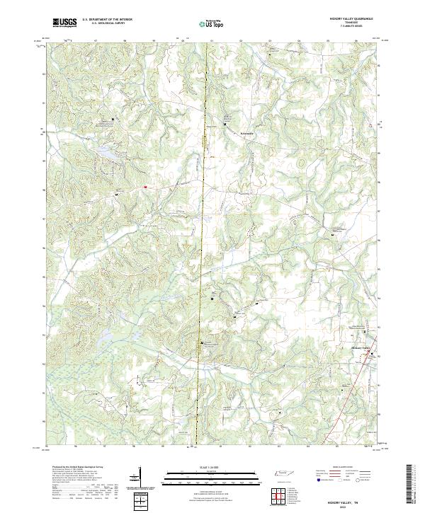 2022 Hickory Valley2022 Print · USGSHardeman and Fayette Counties meet in this rural Tennessee landscape during the early 2020s, showing a well-preserved network of country churches and family cemeteries. Genealogists can locate legacy sites like Mays Hill Missionary Baptist Church Cem and the Hickory Valley Cemetery.
 - 2022 Map of Whiteville, 2022 Print
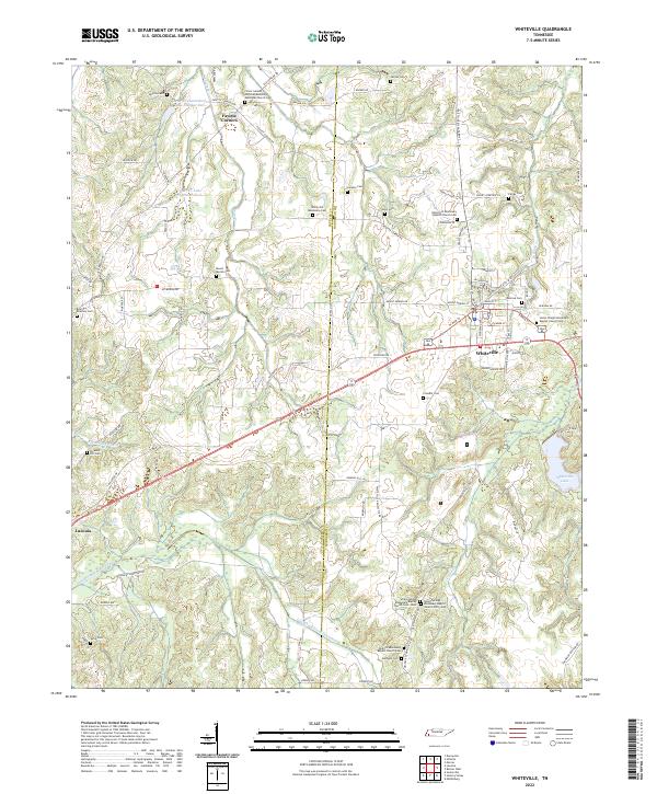 2022 Whiteville2022 Print · USGSThe rural landscape of Hardeman County and Fayette County comes to life in this contemporary survey of the West Tennessee interior. Genealogists can trace family heritage through numerous landmarks like Fayette Corners, Smyrna Cem, and Antioch Missionary Baptist Church Cem.
 - 2022 Map of Eads, 2022 Print
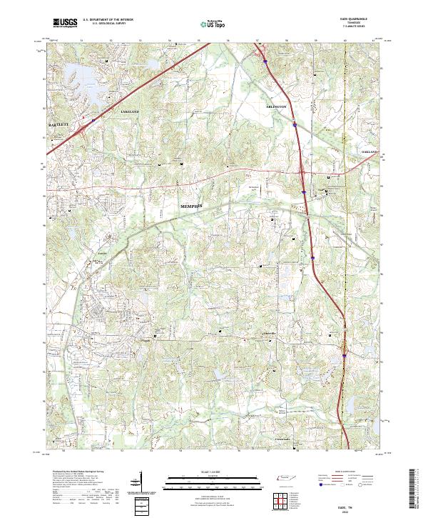 2022 Eads2022 Print · USGSEastern Shelby County at the start of the 2020s shows the meeting point of suburban growth and traditional Tennessee farm country. Genealogists can trace family legacies across numerous sites like Hooker Family Cem, Eads Cem, and Saint Philip Episcopal Church.
 - 2022 Map of Oakland, 2022 Print
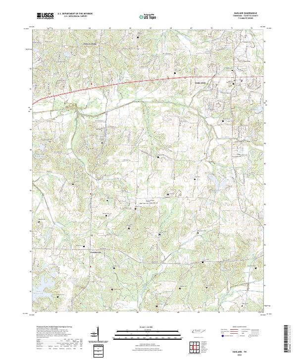 2022 Oakland2022 Print · USGSFayette County exhibits a fascinating mix of suburban expansion and traditional rural settlement patterns during this era. Genealogists can trace a remarkable number of family burial sites, including the Alexander Cem, Mebane Cem, and Waller Cem near the banks of Alexander Cr.
 - 2022 Map of Somerville, 2022 Print
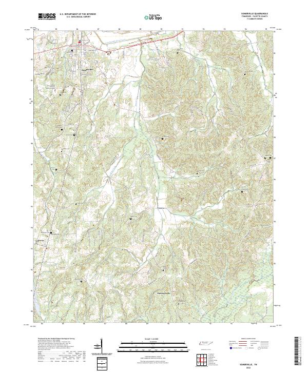 2022 Somerville2022 Print · USGSFayette County's seat and its surrounding rural landscapes are captured here during a period of modern mapping. Genealogists and historians can trace numerous family burial grounds, such as Peebies Family Cem and Mount Pisgah Cem, alongside the historic Fayette County Courthouse.
 - 2022 Map of Collierville, 2022 Print
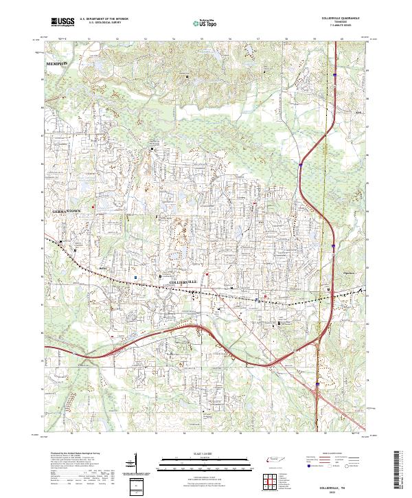 2022 Collierville2022 Print · USGSThe eastern Shelby County suburbs are documented here during a period of rapid residential growth. Family historians can trace local heritage through sites like Old Salem Presbyterian Church Cem and the Bedford Plantation Cem.
 - 2022 Map of Moscow, 2022 Print
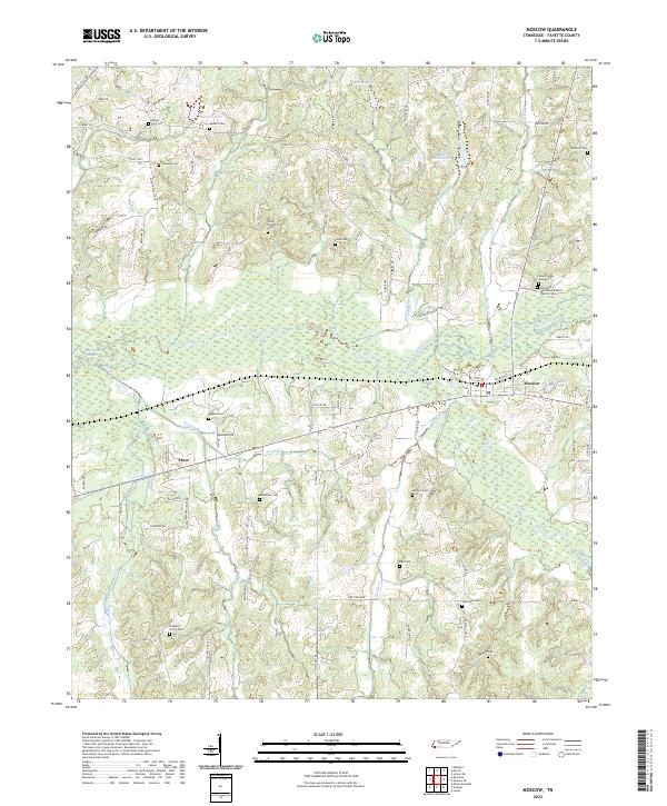 2022 Moscow2022 Print · USGSFayette County's river-bottom lands and rural homesteads are documented in this recent survey. Genealogists and historians can locate numerous family burial sites and country churches, including Bethlehem Cemetery, the Gwyn Family Graveyard, and Hays.
 - 2022 Map of Dancyville, 2022 Print
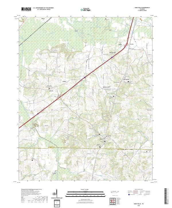 2022 Dancyville2022 Print · USGSDancyville and the surrounding wetlands of Haywood and Fayette Counties appear here in the early twenty-first century. Family researchers can trace dozens of historic sites, from the Dancyville Christian Methodist Episcopal Cem to the remote Scratchunder Cem near Hatchie Bottom.
Showing maps 1-25 of 30
Top cities of Fayette County
- Oakland historical maps
- Somerville historical maps
- Piperton historical maps
- Gallaway historical maps
- Moscow historical maps
- Rossville historical maps
See more
Frequently asked questions
- What are the different types of historical maps available for Fayette County?
- What is the oldest map of Fayette County?
- Where can I purchase historical maps of Fayette County for my home or office?
- Where can I download high-res historical maps of Fayette County?
- Are there historical topographic maps available for Fayette County?
- Is there historical aerial imagery available for Fayette County?
- Where are historical maps of Fayette County sourced from?