Old Maps of Canadaville, Tennessee for Metal Detecting
Plan your next treasure hunt with 12 historic maps of Canadaville. Find old homesites, ghost towns, trails, and gathering spots that may be lost to time — perfect for identifying promising metal detecting locations.
- Locate forgotten sites: Uncover places like long-lost settlements, abandoned rail lines, or gathering spots.
- Plan better hunts: Use map overlays combined with LiDAR or satellite views to narrow in on historically rich areas.
- Made for detectorists: Thousands of hobbyists use these maps to discover relics, coins, and hidden history.
Use these historic maps to boost your research and find new opportunities beneath the surface of Canadaville.
Canadaville, TN maps
(12)- 1943 Map of Collierville, 1964 Print
 1943 Collierville1964 Print · USGSThe rural borderlands of Shelby and Fayette counties are captured here in the early 1940s, anchored by the rail hubs of Collierville and Rossville. Genealogists can trace family roots through numerous sites like Augusta Rosenwald Sch, Magnolia Cem, and Morning Sun Ch & Cem.
 - 1953 Map of Collierville
 1953 Collierville1953 Print · USGSThe rural borderlands of Shelby and Fayette counties are captured here in the early fifties, showing a landscape of river bottoms and rail-side hamlets. Genealogists can locate family landmarks like Chambers Chapel & Cem, Hickory Withe Sta, and Morning Sun Ch & Cem.
 - 1956 Map of Blytheville, 1964 Print
 1956 Blytheville1964 Print · USGSWest Tennessee and the Arkansas Delta come alive in this mid-century survey of the river-and-rail corridor connecting Memphis to Jackson. Genealogists and historians can trace the rail lines of the Louisville and Nashville RR and locate landmarks like Western State Hospital or Fort Pillow State Prison Farm.2 unique versions available
 - 1959 Map of Blytheville
 1959 Blytheville1959 Print · USGSWest Tennessee and Northeast Arkansas meet along the river in the late fifties, during a period of steady industrial and agricultural growth. Genealogists can trace the rail corridors of the Illinois Central through Jackson or explore landmarks like Shiloh National Military Park and Fort Pillow State Prison.
 - 1965 Map of Oakland, 1966 Print
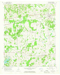 1965 Oakland1966 Print · USGSFayette County in the mid-sixties shows a landscape defined by the Louisville and Nashville railroad and tight-knit rural communities. Genealogists can trace family names across dozens of sites like Dudney Cem, Bailey Cem, and the Sanctified Ch.3 unique versions available
 - 1968 Map of Collierville
 1968 Collierville1968 Print · USGSThe Shelby and Fayette county line comes alive in the late sixties, showing the rail-centered growth of Collierville and Piperton. Genealogists can locate family landmarks like Brooks Chapel, Mebane Cem, and the Morris Lookout Tower near the river.
 - 1986 Map of Memphis East
 1986 Memphis East1986 Print · USGSWest Tennessee in the mid-eighties shows the meeting point of Memphis suburban growth and the deep bottomlands of the Hatchie River. Genealogists and historians can trace rail-town development along the Southern Railway and locate major landmarks like Ames Plantation and the U S Naval Air Station.2 unique versions available
 - 2010 Map of Oakland, 2010 Print
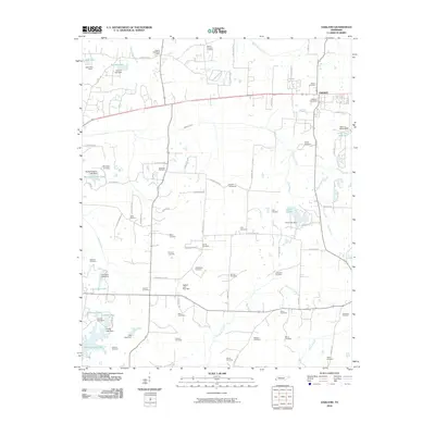 2010 Oakland2010 Print · USGSOakland and the surrounding Fayette County countryside are shown here at the turn of the decade, featuring a high concentration of ancestral burial sites. Researchers can trace local lineage through dozens of landmarks like the Hickory Withe Post Office, Oakland Cemetery, and Cross Cemetery.
 - 2013 Map of Oakland, 2013 Print
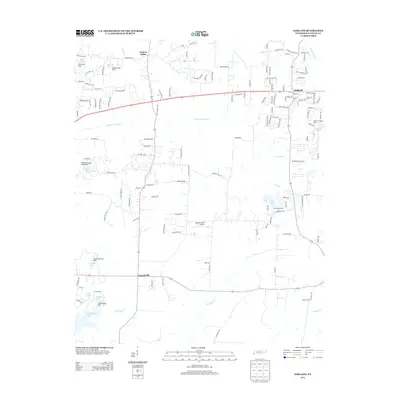 2013 Oakland2013 Print · USGSOakland and Fayette County in the early twenty-first century show a landscape of growing residential estates and quiet rural roads. Genealogists and local historians can trace family-named water bodies and settlements like Canadaville, Hickory Withe, and Herb Parsons Lake.
 - 2016 Map of Oakland, 2016 Print
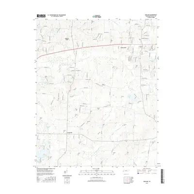 2016 Oakland2016 Print · USGSThe Fayette County countryside around Oakland is shown here in the mid-2010s, capturing the balance between new development and old crossroads. Genealogists can locate dozens of small family burial sites, including Bell Grove Cem and the Carpenter Cem near Shaws Cr.
 - 2019 Map of Oakland, 2019 Print
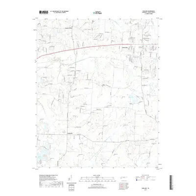 2019 Oakland2019 Print · USGSFayette County settlement and ancestral lands are preserved here in the late twenty-teens, showing the growth of Oakland and Hickory Withe. Family historians can locate dozens of burial sites including Dupree Cemeteries, McCulley Cemetery, and Farwell Cemetery.
 - 2022 Map of Oakland, 2022 Print
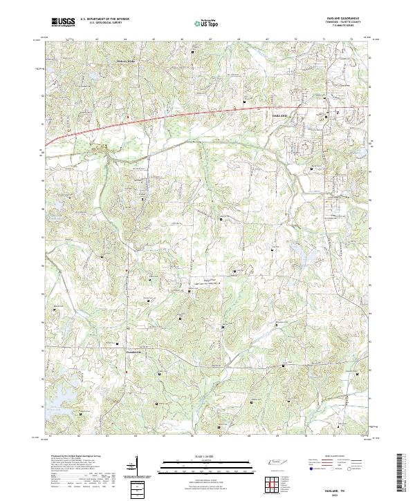 2022 Oakland2022 Print · USGSFayette County exhibits a fascinating mix of suburban expansion and traditional rural settlement patterns during this era. Genealogists can trace a remarkable number of family burial sites, including the Alexander Cem, Mebane Cem, and Waller Cem near the banks of Alexander Cr.
End of results
Showing maps 1-12 of 12
Top cities near Canadaville
- Memphis historical maps
- Bartlett historical maps
- Collierville historical maps
- Germantown historical maps
- Olive Branch historical maps
- Lakeland historical maps
See more
Frequently asked questions
- What are the different types of historical maps available for Canadaville?
- What is the oldest map of Canadaville?
- Where can I purchase historical maps of Canadaville for my home or office?
- Where can I download high-res historical maps of Canadaville?
- Are there historical topographic maps available for Canadaville?
- Is there historical aerial imagery available for Canadaville?
- Where are historical maps of Canadaville sourced from?