Old Maps of Griffen, Tennessee for Genealogy
Trace your family roots with 11 historic maps of Griffen. These high-res maps reveal old neighborhoods, homesites, landmarks, and streets — helping you uncover where your ancestors lived and how the area evolved over time.
- Explore historic neighborhoods: Identify where your relatives may have lived in the 1800s or 1900s.
- Compare maps over time: Trace the changes in streets, buildings, and landmarks for multi-generational research.
- Perfect for genealogy & ancestry research: Used by family historians and researchers to map out lineage and migration.
These maps are an incredible resource for exploring your personal connection to Griffen's past.
Griffen, TN maps
(11)- 1954 Map of Mason
 1954 Mason1954 Print · USGSWest Tennessee in the mid-1950s shows a landscape of rail-linked towns and deep-rooted rural institutions. Genealogists and researchers can trace family connections at the Dunlap Orphanage, Home Ferry Sch, and numerous sites like St Matthews Sch & Ch.
 - 1956 Map of Blytheville, 1964 Print
 1956 Blytheville1964 Print · USGSWest Tennessee and the Arkansas Delta come alive in this mid-century survey of the river-and-rail corridor connecting Memphis to Jackson. Genealogists and historians can trace the rail lines of the Louisville and Nashville RR and locate landmarks like Western State Hospital or Fort Pillow State Prison Farm.2 unique versions available
 - 1959 Map of Blytheville
 1959 Blytheville1959 Print · USGSWest Tennessee and Northeast Arkansas meet along the river in the late fifties, during a period of steady industrial and agricultural growth. Genealogists can trace the rail corridors of the Illinois Central through Jackson or explore landmarks like Shiloh National Military Park and Fort Pillow State Prison.
 - 1965 Map of Gallaway, 1966 Print
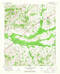 1965 Gallaway1966 Print · USGSFayette County in the mid-1960s was a landscape of canal-managed bottomlands and busy rail hubs. Researchers can trace rural lineages through numerous community sites like Center Point, Nolley Chapel, and the Hillard-Nolley Cem.3 unique versions available
 - 1969 Map of Mason
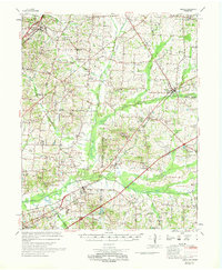 1969 Mason1969 Print · USGSWest Tennessee in the late sixties reveals a landscape of rural junctions and evolving infrastructure across Tipton, Shelby, and Fayette counties. Genealogists can trace family names at Dunlap Orphanage or local schools like Bloomington Sch and St Mathews Sch.
 - 1986 Map of Memphis East
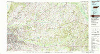 1986 Memphis East1986 Print · USGSWest Tennessee in the mid-eighties shows the meeting point of Memphis suburban growth and the deep bottomlands of the Hatchie River. Genealogists and historians can trace rail-town development along the Southern Railway and locate major landmarks like Ames Plantation and the U S Naval Air Station.2 unique versions available
 - 2010 Map of Gallaway, 2010 Print
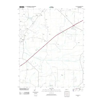 2010 Gallaway2010 Print · USGSGallaway and the surrounding Fayette County countryside are shown here at the start of the 2010s, centered on the Loosahatchie River. Genealogists can locate over a dozen historic burial sites, including Poplar Springs Cemetery, Waymond Cemetery, and O'Kelly Cemetery.
 - 2013 Map of Gallaway, 2013 Print
 2013 Gallaway2013 Print · USGSFayette County in the early twenty-first century reveals a landscape shaped by significant hydrological engineering and rural community growth. Researchers can trace the paths of the Loosahatchie River Canal and find local landmarks like Braden and Burrow Cemetery Rd.
 - 2016 Map of Gallaway, 2016 Print
 2016 Gallaway2016 Print · USGSThe Fayette County countryside comes into focus during the mid-2010s, showing a landscape defined by engineered waterways and historic community centers. Genealogists can locate numerous burial sites including Union Hill Cem, Scotts Chapel Cem, and Hillard Nolley Cem.
 - 2019 Map of Gallaway, 2019 Print
 2019 Gallaway2019 Print · USGSFayette County's rural landscape is defined by its small settlements and complex canal systems in the years before the 2020s. Researchers can trace dozens of family burial sites, including Gallaway Cem, Pipkin Cem, and Hillard Notley Cem, alongside the engineered Loosahatchie River Canal.
 - 2022 Map of Gallaway, 2022 Print
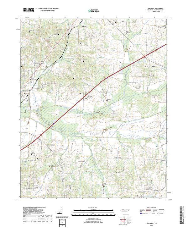 2022 Gallaway2022 Print · USGSThis Fayette County landscape reflects a modern era of agricultural management and deep-rooted community history. Researchers can trace dozens of family and church burial sites, including the Clifton Summit Cem and Dar ar-Rahma Muslim Cem, alongside the engineered paths of the Loosahatchie River Canal.
End of results
Showing maps 1-11 of 11
Top cities near Griffen
- Memphis historical maps
- Collierville historical maps
- Lakeland historical maps
- Oakland historical maps
- Arlington historical maps
- Somerville historical maps
See more
Frequently asked questions
- What are the different types of historical maps available for Griffen?
- What is the oldest map of Griffen?
- Where can I purchase historical maps of Griffen for my home or office?
- Where can I download high-res historical maps of Griffen?
- Are there historical topographic maps available for Griffen?
- Is there historical aerial imagery available for Griffen?
- Where are historical maps of Griffen sourced from?